• Skip to main content
  • Skip to header right navigation
  • Skip to after header navigation
  • Skip to site footer
Florida Hikes logo

Florida Hikes

Hike Bike Paddle Camp Florida with authors Sandra Friend and John Keatley as your guides

  • Trails
  • Maps
  • Guidebooks
  • Hike
    • Scenic Hikes
    • Loop Trails
    • Dog-friendly Hikes
    • Hikes for Kids
    • National Parks in Florida
    • Florida State Parks
  • Bike
    • Major Bike Trails
    • Paved Bike Trails
    • Off Road Biking
    • Biking Articles
  • Paddle
    • Canoe & Kayak Rentals
    • Paddling Destinations
    • Paddling Articles
  • Camp
    • Cabin Rentals
    • Car Camping
    • Primitive Camping
  • Florida Trail
    • Plan your Hike
    • Best Scenic Hikes
    • Best Backpacking
    • Section Hiking
    • Thru-Hiking
    • Trail Updates
  • Travel
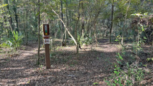
Singletrack trail with junction marked

Black Creek Park

An unbroken canopy of oversized trees edge low bluffs above the floodplain of Black Creek, shading singletrack loops at the southern end of Fleming Island.

Fleming Island (30.047910, -81.710276)   2.0 miles  

Echoing the beauty of the lush riverside hammock of Camp Chowenwaw on the opposite shore, Black Creek Park traces the floodplain of this St. Johns River tributary.

Built by SORBA for mountain bikers, the trails of Black Creek Park are also open to hikers.

Pretty path in forest Singletrack along the floodplain


The outer perimeter of two singletrack loops edging the floodplain offer scenic glimpses of the waterway.

This two mile route combines their easy-to-follow rims with a return walk along the paved Black Creek Trail for a satisfying hike.

Paved path in woods Black Creek Trail


Resources

Resources for exploring the area
Hikers Guide to the Sunshine State book cover 50 Hikes in North Florida book cover North Florida Panhandle Explorers Guide book cover Paddlers Guide Florida
 
Disclosure: As authors and affiliates, we receive earnings when you buy through our links. This helps us provide public information on this website.

Overview

Location: Fleming Island
Length: 2 miles
Trailhead: 30.047910, -81.710276
Address: 7890 US 17, Fleming Island
Fees: Free
Restroom: At the trailhead
Land Manager: Clay County
Phone: 904-529-8058

Open sunrise to sunset. Leashed dogs welcome; pick up after your pet. Expect heavy cyclist use on weekends. Please yield to riders.


Directions


From Interstate 295 west in Jacksonville, take exit 10 for US 17 at Orange Park and drive south 9.9 miles. The turn-in is at the south end of Fleming Island just before the bridge over Black Creek. The entrance road ends in a tenth of a mile at the parking area adjoining the restrooms.

Hike

Walk by the restrooms towards the paved Black Creek Trail. Immediately past the restrooms, turn left onto Palmetto’s Revenge.

At a loop junction marked with arrows, bear left. Walk beneath a live oak of extraordinary girth, following the curve of the leafy path past a section of fence.

Sign at trail entrance Start of the loop


Circling behind the restrooms and parking area, head east through the hardwood hammock, massive grapevines dangling from the high canopy of towering oaks and pines.

Just beyond an enormous live oak at 0.2 miles, a worn path leads to the entrance road. The trail turns south, paralleling US 17.

Ribbon of road visible at curve in trail Southerly turn near park entrance


Within this forest of enormous hardwoods, palm fronds signal a mix of young cabbage palms and saw palmetto on the sweep near the highway.

Glimpse the location of the waterway through gaps in the trees, hardwoods yielding to floodplain forest.

Differing tree types in layers Floodplain forest beyond the hammock


Turn sharply west near the base of an enormous pine. The forest thickens, American holly and magnolias entering the mix.

Light streams in from the ribbon of floodplain. Reaching a T intersection, bear left.

Trail junction in leafy woods T intersection


The worn path ambles briefly under the oaks, emerging at a ribbon of leaf-dusted asphalt. It’s the narrow south end of the Black Creek Trail.

It looks like a very old road, perhaps the original route of US 17. Across it is a sign for the Creek View Trail.

Man in silhouette next to bench on waterway at end of long narrow asphalt road Black Creek Trail


Turn left for a short walk to Black Creek along the old asphalt. Reach the bench overlooking open water a half mile into the hike.

Placid and swampy, the waterway is edged on its south side by Camp Chowenwaw Park.

Blue water with cypresses on far shore Black Creek


Return up the pavement to the Creek View Trail to join it, taking the left side of the loop to parallel Black Creek.

Ascend a low bluff into the hardwood forest. The narrow path dances above the floodplain, following the creek upstream.

Path through inviting forest Creek View Trail


Skim the edge of the floodplain by 0.7 miles, staying amid the bluestem palms under the oaks, looking down into lower basins.

Tracing the rim of the bluff above the floodplain forest under towering oaks and magnolias, this leafy path curves gently north.

Large trees along floodplain forest Skimming the floodplain


Stay with the pathway closest to the creek when other options present themselves. A bench adjoins the trail, an old truck bed hidden amid native bamboo soon after.

With clusters of short needles, spruce pines reach for the high point of the canopy. The forest becomes more tangled.

Bench past giant rootball Bench


Continue past a wall of mature loblolly bay trees. Reach the next bench at a mile at a trail junction. Turn left, following the arrows.

A straightaway through the hammock follows. The understory opens, revealing parallel singletrack. A swamp chestnut oak rises from a broadly anchored base.

Narrow straightaway in woods Straightaway


At 1.1 miles, bear left off the linear route, following the arrows to another long straight stretch.

Still paralleling the creek, bear left once more for a sweep along the floodplain’s edge to the north end of this park, outlined by former fence posts.

Arrow sign on tree next to singletrack Northern portion of the park


Curving right at 1.4 miles, leave Black Creek behind. The worn path through the hammock aims towards the paved Black Creek Trail.

Reaching an enormous split-trunk pine, diverge from the trail: it becomes a twisty singletrack soon after this point.

A broad pine with two trunks The landmark


Walk east through a slender stretch of open understory to the Black Creek Trail. Join it southbound at 1.5 miles.

Tunneling through this dense hammock, the paved path is in deep shade, with occasional glimpses of US 17 to start.

Paved path with road visible yeond Leaving the open understory for the paved path


Turning away from the paralleling highway by 1.7 miles, pass a bench at a junction with the singletrack loop.

Continue along a long, slow descent towards Black Creek, returning to the trailhead at 2 miles.

Kiosk at base of paved path in woods Downhill to the trailhead


Trail Map

Black Creek Park Trail Map
Red: route described. Blue: Black Creek Trail

Explore More!

Video

Hiking Black Creek Park


Slideshow

See our photos from Black Creek Park


Nearby Adventures

Trail through a deeply shaded forest Camp Chowenwaw Trails Explore Camp Chowenwaw Park on a network of trails into an old-growth hardwood hammock and floodplain swamps near where Black Creek empties into the St. Johns River.
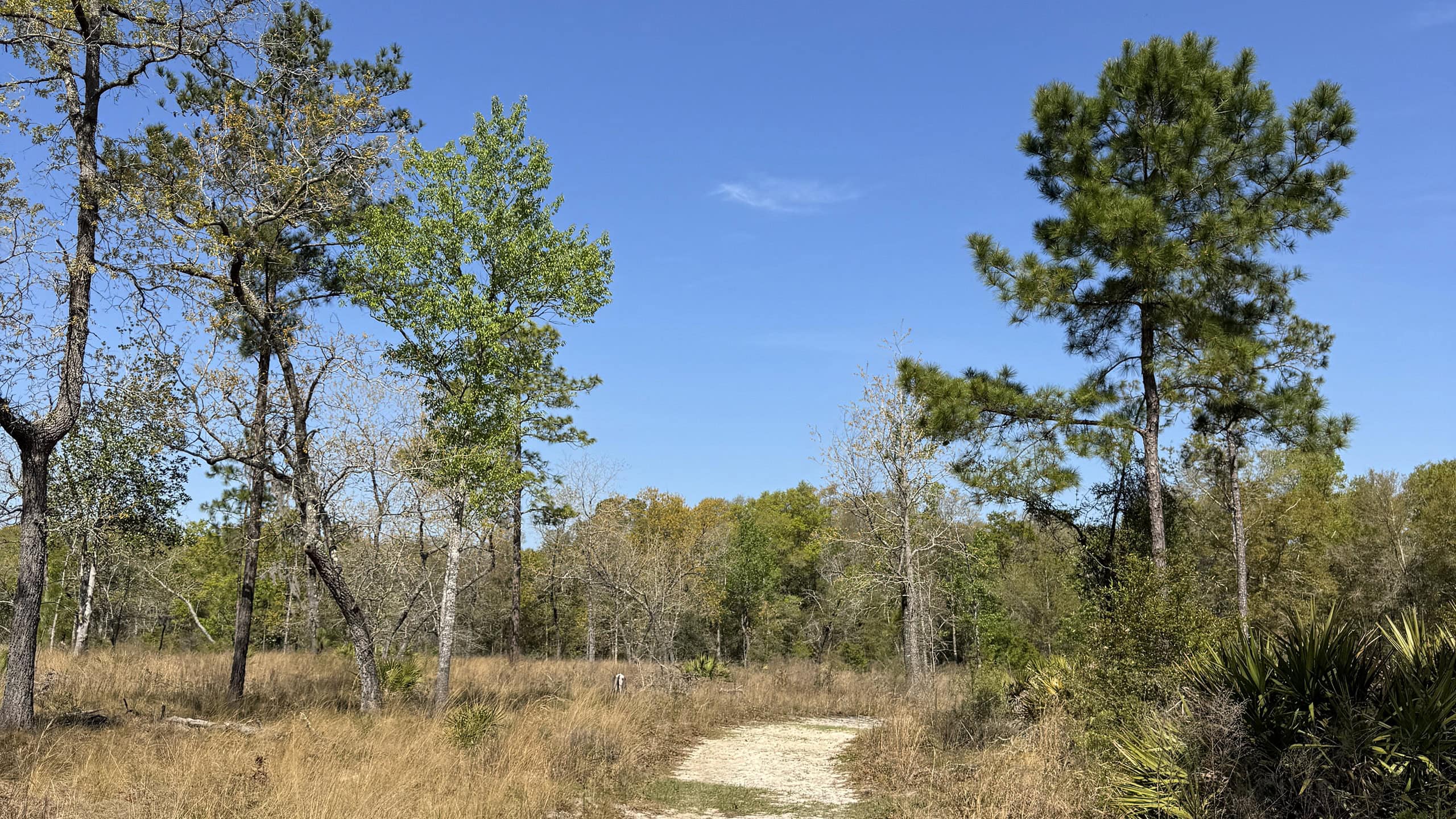
Sandhill Habitat Black Creek Ravines Conservation Area Perched on high ground above Black Creek downstream from Middleburg, this 6.5 mile hike showcases upland forests, seepage slopes, bluffs and the transitional habitats between them.
Green Cove Spring Park Swim in the perpetual flow of Green Cove Spring in a spring-fed swimming pool, the centerpiece of a landscaped riverfront park beneath old growth oaks along the St. Johns River.
Sand path along cypress swamp Ronnie Van Zandt Memorial Park Gimme three steps and a whole lot more on a circuit of a park established to honor the lead singer of Lynyrd Skynyrd, northwest of Green Cove Springs where he grew up.

Trail Map (PDF) Official Website

  • Author
  • Recent Posts
Sandra Friend & John Keatley
Articles jointly researched, written, and photographed by Sandra Friend & John Keatley, authors and publishers of FloridaHikes.com.
Sandra Friend & John Keatley
Latest posts by Sandra Friend & John Keatley (see all)
  • Baseline Trails - November 7, 2026
  • Hal Scott Yellow Trail - November 3, 2026
  • Hal Scott Preserve - October 28, 2026
Category: Biking, County Parks, Day Hikes, Hikes, Loop Hikes, North Florida, Off Road Biking, Paved Bike Trails, TrailsTag: Big Trees, Dog-friendly, Fleming Island, Green Cove Springs, Orange Park, Scenic Hikes

Sidebar

FarOut Guides

Our comprehensive trail logistics presented on offline maps:

Florida National Scenic Trail (1,500 miles)
Florida Keys Overseas Heritage Trail (108 miles)
Eastern Continental Trail in Florida (92 miles)


We earn a small commission on sales through these links. Thanks for your support!


Our Guidebooks

We’ve written Florida guidebooks for over 25 years. These include North Florida destinations.

Book cover with woman hiking through palms with baby carrier
Book cover of Florida Trail Hikes
The Florida Trail Guide fifth edition
Explorer's Guide North Florida & The Panhandle guidebook

Explore More

Newest Articles for North Florida

Deep water-filled crevices Little Awesome Preserve
Longleaf pine forest LEAFS Preserve South
Paved bike path surrounded by pines and grassy slope Lehigh Trail
Aqua blaze on pine trunk next to footpath in flatwoods Dahoma Historic Trail

  • Facebook
  • Flickr
  • Instagram
  • Pinterest
  • Substack
  • Vimeo

FIND A TRAIL OR PARK

METROS: Bradenton. Clearwater. Crestview. Daytona Beach. Destin. Fort Lauderdale. Fort Myers. Fort Walton Beach. Gainesville. Jacksonville. Kissimmee. Lakeland. Melbourne. Miami. Naples. Ocala. Orlando. Panama City Beach. Pensacola. Port St. Lucie. Punta Gorda. St. Petersburg. Sanford. Sarasota. Sebring. Stuart. Tallahassee. Tampa. Vero Beach. West Palm Beach.

MULTI-REGION: Atlantic Coastal Ridge. Atlantic Coast. Bartram Trail. Big Bend. East Coast Greenway. Everglades National Park. Florida National Scenic Trail. Gulf Coast. Lake Wales Ridge. WATERWAYS: Indian River Lagoon. Intracoastal Waterway. Kissimmee River. St. Johns River. Withlacoochee River.

NORTHWEST FLORIDA: Altha. Apalachicola. Apalachicola National Forest. Big Bend Scenic Byway. Blackwater River State Forest. Blountstown. Bonifay. Bristol. Bruce. Cantonment. Cape San Blas. Carrabelle. Chattahoochee. Chipley. Crawfordville. DeFuniak Springs. Eastpoint. Ebro. Eglin Air Force Base. Freeport. Fountain. Gulf Breeze. Gulf Islands National Seashore. Holt. Madison. Marianna. Milton. Monticello. Mossy Head. Munson. Navarre. Navarre Beach. Newport. Niceville. Panacea. Panama City . Perdido Key. Ponce De Leon. Port St. Joe. Quincy. Santa Rosa Beach. Sopchoppy. South Walton. St. George Island. St. Marks. St. Marks NWR. Sumatra. Vernon. Wakulla. Wewahitchka. Woodville. WATERWAYS: Apalachicola River. Blackwater Bay. Blackwater River. Chipola River. Choctawhatchee Bay. Choctawhatchee River. Coastal Dune Lakes. Ochlockonee Bay. Perdido River. St. Marks River. Wacissa River. Wakulla River. Yellow River.

NORTH FLORIDA: Alachua. Amelia Island. Archer. Baldwin. Branford. Bronson. Bunnell. Callahan. Cedar Key. Chiefland. Crescent City. Cross City. Cross Creek. Dowling Park. Ellaville. Fanning Springs. Fernandina Beach. Flagler Beach. Fort White. Glen St. Mary. Green Cove Springs. Hawthorne. High Springs. Inglis. Jacksonville Beaches. Jacksonville Northshore. Jasper. Jennings. Keystone Heights. Lake Butler. Lake City. Live Oak.Macclenny. Mandarin. Mayo. Mayport. Micanopy. Middleburg. Old Town. Olustee. Orange Park. Osceola National Forest. Palatka. Palatka-Lake Butler Trail. Palm Coast. Palm Valley. Perry. Ponte Vedra. Rodman. Salt Springs. St. Augustine. Starke. Steinhatchee. Suwannee. Suwannee River Wilderness Trail. Suwannee Springs. Talbot Islands. Timucuan Preserve. Trenton. Waldo. Welaka. White Springs. Williston. Worthington Springs. Yankeetown. WATERWAYS: Santa Fe River. St. Marys River. Suwannee River. Tolomato River. Upper Withlacoochee River.

CENTRAL FLORIDA: Altamonte Springs. Apollo Beach. Apopka. Astatula. Astor. Auburndale. Bartow. Babson Park. Bayport. Belleview. Bithlo. Brandon. Brooksville. Bushnell. Canaveral National Seashore. Cassadaga. Christmas. Chuluota. Citrus Springs. Clearwater Beach. Clermont. Coast to Coast Trail. Cocoa. Cocoa Beach. Cross Florida Greenway. Crystal River. Dade City. De Leon Springs. DeBary. Deland. Deltona. Dunedin. Dunnellon. Edgewater. Enterprise. Eustis. Ferndale. Fort Meade. Frostproof. Geneva. Gibsonton. Haines City. Hernando. Hernando Beach. Holopaw. Homosassa. Inverness. Kenansville. Kissimmee. Lake Mary. Lake Wales. Largo. Leesburg. Lithia. Longwood. Lutz. Maitland. Malabar. McIntosh. Melbourne Beach. Merritt Island. Merritt Island NWR. Mims. Mount Dora. Narcoossee/Lake Nona. New Port Richey. New Smyrna Beach. Nobleton. Oak Hill. Oakland. Ocala National Forest. Ocklawaha. Ocoee. Oldsmar. Orange City. Ormond Beach. Osteen. Oviedo. Paisley. Palm Bay. Plant City. Poinciana. Polk City. Ponce Inlet. Port Orange. Ridge Manor. Riverview. Ruskin. Safety Harbor. Silver Springs. Sorrento. Spring Hill. St. Cloud. Tarpon Springs. Thonotosassa. Titusville . Umatilla. Viera. Walt Disney World. Weeki Wachee. Weirsdale. Wimauma. Windermere. Winter Garden. Winter Haven. Winter Park. Winter Springs. Withlacoochee State Forest. Withlacoochee State Trail. Yeehaw Junction. Zephyrhills. WATERWAYS: Alafia River. Halifax River. Hillsborough River. Lake Apopka. Little Manatee River. Ochlawaha River. Rainbow River. Tampa Bay. Wekiva River. Wekiva River Basin.

SOUTHWEST FLORIDA: Alva. Boca Grande. Cape Coral. Charlotte Harbor. Ding Darling NWR. Ellenton. Englewood. Estero. Immokalee. Marco Island. North Port. Osprey. Palma Sola. Palmetto. Pine Island. Port Charlotte. Sanibel Island. Venice. WATERWAYS: Caloosahatchee River. Manatee River. Myakka River. Pine Island Sound.

SOUTH FLORIDA: Arcadia. Basinger. Big Cypress National Preserve. Big Cypress Seminole Reservation. Big Cypress Swamp. Bowling Green. Clewiston. Everglades City. Indiantown. LaBelle. Lake Okeechobee Scenic Trail. Lake Placid. Lakeport. Moore Haven. Okeechobee. Ortona. Pahokee. Palmdale. Port Mayaca. South Bay. Wauchula. Zolfo Springs. WATERWAYS: Fisheating Creek. Lake Okeechobee. Peace River.

SOUTHEAST FLORIDA: Biscayne Bay. Biscayne National Park. Boca Raton. Boynton Beach. Coconut Creek. Coral Gables. Coral Springs. Davie. Delray Beach. Fellsmere. Flamingo. Fort Pierce. Hobe Sound. Hollywood. Homestead. Indrio. Jensen Beach. Juno Beach. Jupiter. Jupiter Farms. Key Biscayne. North Hutchison Island. Ocean to Lake Greenway. Palm Beach. Palm Beach Gardens. Pompano Beach. Redland. Sebastian. South Hutchinson Island. WATERWAYS: Florida Bay. St. Lucie River.

FLORIDA KEYS: Big Pine Key. Islamorada. Key Largo. Key West. Marathon. Overseas Heritage Trail.


©2006-2026, Sandra Friend & John Keatley | Disclosure | Site Index | Work with Us | Advertise with Us | Terms of Service and Privacy Policy

Florida Hikes PO Box 93 Mims FL 32754 | Contact
