
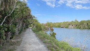
Near the white sand beaches of Lovers Key, a tranquil path weaves through forests of palms and sea grapes on berms and canals returned to nature after being saved from development.
Slated to become a condo complex, Black Island on Estero Bay was cut up into an odd series of artificial canals and berms before the state purchased it. Coastal vegetation has since reforested these narrow slices of land.
Lovers Key State Park established a system of scenic trails within these tropical landscapes. The Black Island Trail covers 2.7 miles on one peninsula.
The Eagle Trail traverses 1.5 miles on a separate stretch of land accessible from a service road leading to the north end of the island.
 Walkway along interior canal
Resources





Disclosure: As authors and affiliates, we receive earnings when you buy through our links. This helps us provide public information on this website.
Overview
Location: Bonita Springs
Length: 5.5 miles
Trailhead: 26.394583, -81.876472
Address: 8700 Estero Blvd, Bonita Springs
Fees: $8 per vehicle
Restrooms: Restroom at the Discovery Center and tram stations
Land manager: Florida State Parks
Phone: 239-707-6328
Open 8 AM to sunset. Leashed dogs welcome. Expect mosquitoes.
Directions
From Interstate 75 exit 116, Bonita Beach Rd, drive west on Bonita Beach Rd for 5.5 miles until it turns north at the coast, becoming Hickory Blvd. Continue straight on Hickory Blvd. for 2.1 miles. Cross Big Hickory Pass and it becomes Bonita Beach Causeway. In 2.5 miles, the park entrance is on the left side of the road. Follow the main park drive for 0.8 mile to a large parking lot.
Hike
At the northwest corner of the parking area, look for a small park sign indicating the start of the Black Island Trail.
Follow a wide corridor northward for a tenth of a mile, then turn right to remain on the trail.
 Black Island trailhead
Cabbage palms and sea grapes line the winding pathway, casting patches of shade on white sandy soils.
Unique copper tinted gumbo limbos with peeling bark stand out among a forest of green leaved trees with predominantly gray trunks.
 Gumbo Limbo tree
An intriguing agave known as false sisal seems to creep across the ground at the trail’s edges, searching for sunlight under a spotty canopy of sea grape trees.
Reaching a fork at 0.4 mile, turn right to begin an elongated loop portion of the trail.
 Sea grapes and false sisal
In less than a tenth of a mile, the first of several covered benches sits alongside the trail, overlooking the cloudy blue water of a canal teeming with aquatic wildlife.
Passing one of three numbered shortcut trails, the path begins to climb a tall mound with a prominent stranger fig near the top.
 Covered bench
The trail curves to the left at the next bench, following a thin slice of land between canals. Meander towards the end of the peninsula.
Iguanas skitter across the path and jump from trees to make an escape by plunging into the brackish waters.
 Basking iguana
The trail cuts across to the other side at 1.5 miles, passing a short side spur leading to the northernmost point before tracing along an edge of the canal.
Mangroves hug contoured banks of the berm alongside clusters of sea oxeye sporting showy yellow flowers.
 Sea oxeye
At 2.7 miles, the Black Island Trail ends near the starting point. From here, make a left turn to return to the trailhead or continue straight for 100 feet to follow a service road to the Eagle Trail.
The service road continues north for 0.4 mile to the trailhead and the Eagle Trail explores the innermost peninsula along a 1.5-mile loop.
 Waterfront path on the Eagle Trail
Trail Map

Explore More!
Learn more about Lovers Key State Park
Video
A walk through the Black Island Trail
Nearby Adventures
 Koreshan State Park When Dr. Cyrus Teed founded a commune along the banks of the Estero River in 1894, he envisioned a utopia in the tropics. Koreshan State Park preserves that slice of history.
 Estero River Scrub Skirting the edge of a tidal marsh alongside Estero Bay, the loop trails at Estero River Scrub are incredibly unique and a challenge to hike.
 Delnor-Wiggins Pass State Park Swift tides rolling through Wiggins Pass define the northernmost beach of Naples, a spread of sun-drenched sand within sight of a line of condos that stretch southward.
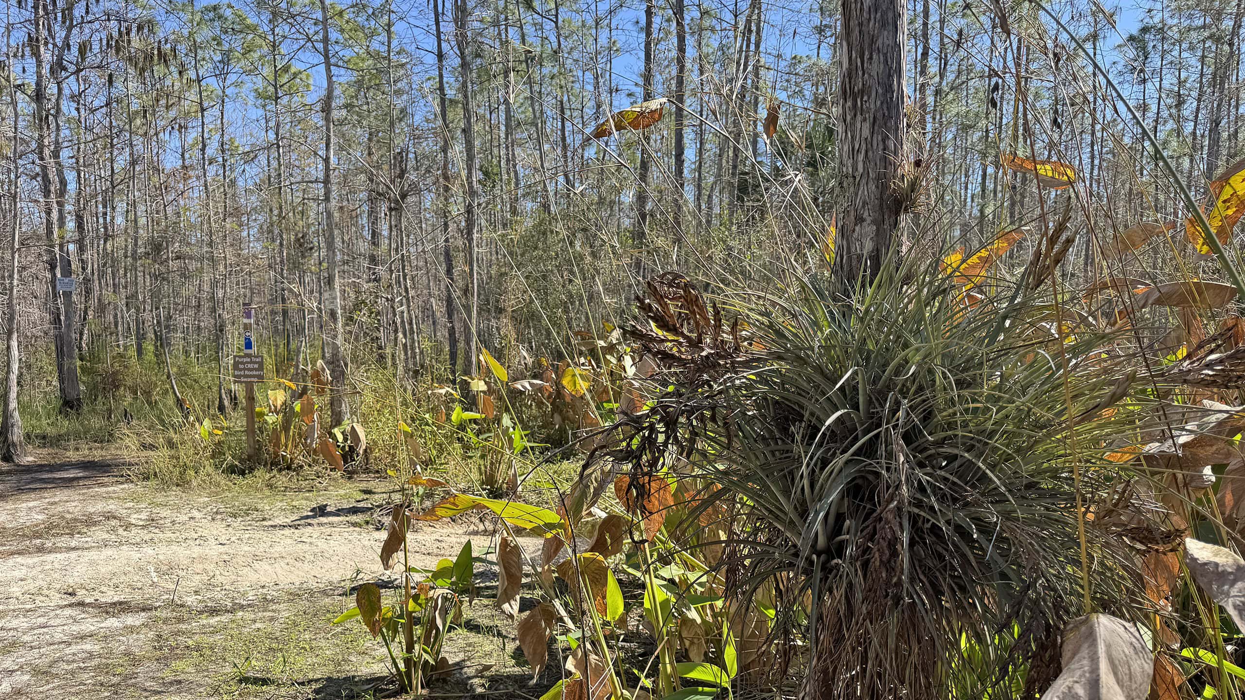 CREW Flint Pen Strand Just four miles east of Interstate 75, get your feet wet in one corner of the vast the Corkscrew Regional Ecosystem Watershed on the trails of Flint Pen Strand.

- Oscar Scherer Green Trail - November 11, 2026
- Sandhill Preserve - November 9, 2026
- Calusa Heritage Trail - November 5, 2026