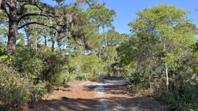
Seminole Ranch Snake Creek Levee
Mims 1.4 milesAt the north end of Seminole Ranch Conservation Area, this 1.4-mile round-trip leads to an observation tower with an extensive panorama across Loughman Lake and Salt Lake.

Florida Hikes
Hike Bike Paddle Camp Florida with authors Sandra Friend and John Keatley as your guides

Outdoor recreation on lands managed by Florida’s Water Management Districts
At the north end of Seminole Ranch Conservation Area, this 1.4-mile round-trip leads to an observation tower with an extensive panorama across Loughman Lake and Salt Lake.
Accessed via a trailhead along SR 52, the 6,533-acre Serenova Tract of Starkey Wilderness Preserve is the "wild space" to the north of J.B. Starkey Wilderness Park in New Port Richey. An effort is underway to try to put a road through the preserve, and …
Boardwalks and trails venture alongside Shingle Creek and into a mosaic of pine flatwoods and cypress swamps at the headwaters of the Everglades.
Built to showcase the Cross Florida Greenway, the Silver River Connector is a 3-mile round-trip between the former Ocklawaha Visitor Center and Ray Wayside Park.
At Ralph E. Simmons State Forest, the Yellow and Red Trails provide a 3.6 mile figure-eight hike with a picturesque view of the St. Marys River and the state of Georgia beyond.
A series of three loops tied together across Little Manatee River Southfork Tract and South Fork State Park explore progressively wilder scrub communities along the South Fork of the Little Manatee River.
On a 1.4 mile loop south of Vero Beach, wind through a blend of natural landscapes near the Indian River, from coastal hammocks to scrub and mesic pine flatwoods.
At Spruce Bluff Preserve, 2.3 miles of trails lead to the site of a pioneer settlement and the largest Ais mound in South Florida amid scrub and wetlands in Port St. Lucie.
The widest waterfall in Florida and a scenic stop in the Big Bend, Steinhatchee Falls is both geologically intriguing and an important piece of Florida history.
Follow the 3.3-mile Steinhatchee Trail through wildflower-rich uplands for a spectacular finish at Steinhatchee Falls, Florida's broadest waterfall.
Fronting a vast estuary along the Tolomato River basin, Stokes Landing Conservation Area contrasts deeply shaded maritime hammock and marsh rims with panoramic views.
A linear path along the channelized Ocklawaha River, the Levee Trail at Sunnyhill Restoration Area stretches 7.5 miles from SR 42 north to Moss Bluff.