

Who can resist climbing Mount Cockroach? At Cockroach Bay Nature Preserve, home to more than 500 acres of restored wetlands, this promontory offers a unique perspective on Tampa Bay.
A joint effort between Hillsborough County and the Southwest Florida Water Management District, the Cockroach Bay Ecosystem Restoration Project commenced in 1991.
Completed nearly 21 years later, it is a popular spot for birders. In addition to hiking, it provides boat launch access to Cockroach Bay.
 Strangler fig at Cockroach Bay Nature Preserve
Resources





Disclosure: As authors and affiliates, we receive earnings when you buy through our links. This helps us provide public information on this website.
Overview
Location: Ruskin
Length: 1.8 mile loop
Trailhead: 27.69134, -82.50167
Address: 3839 Gulf City Rd, Ruskin
Fees: Free
Restrooms: None
Land manager: Hillsborough County
Phone: 813-671-7754
Open sunrise to sunset. Leashed dogs permitted.
Directions
From Interstate 75, head west on College Ave for 2.7 mile, and turn left onto US 41. Continue for three miles, then turn right onto Cockroach Bay Rd. In 1.9 mile, turn right onto Gulf City Rd. The preserve entrance will be on the left in 0.3 mile.
Hike
From the parking area, head west on the service road to an intersection with a post marked red and blue. Mount Cockroach will become visible in the distance behind a stand of pines.
Follow the Red Trail towards this distinct rise in elevation, stopping for a moment at a highly informative kiosk on the left side of the trail.
 Post at the intersection of red and blue trails
A full map of the property is displayed, alongside descriptions of wintering songbirds in the preserve.
In a few hundred feet, a curious old block building decorated with murals stands at the next intersection.
 Block building
Turn right, climbing the mound on a crushed shell path lined with gardens of native plants. The trail ascends quickly to a sheltered picnic bench.
The view from the top is spectacular, overlooking restored marshes in all directions.
 Ascending Mount Cockroach
A distant city skyline emerges from the horizon: St. Petersburg’s tall buildings are clearly visible across Tampa Bay.
Another kiosk accompanies the bench, displaying images of dozens of bird species that inhabit the area.
 View from atop Mount Cockroach
Continue across the rise, descending on the other side to an intriguing strangler fig wrapped around a cabbage palm.
At a red and blue post marked with the number two, stay straight to head towards the south loop.
 At the #2 post
After a little dip in the road, the pathway opens to a verdant meadow dotted with oaks and cabbage palms.
Turn right at a blue post marked with a three to begin the counterclockwise loop around a restored palustrine marsh along the Blue Trail.
 Beginning the blue loop
Follow the well-defined blue blazed trail to an intersection about a tenth of a mile to the west.
Turning left cuts through a field of tall grasses and palmettos. Turning right skirts a tidal marsh, then quickly rejoins the main trail in a few hundred feet.
 Split pathway
In 0.2 mile, the trail takes a ninety degree turn to the south. Moderately tall cabbage palms line the grassy passage, their trunks charred from past burns.
A pond at the center of the loop becomes visible through gaps in the thick surrounding vegetation to the left.
 Charred cabbage palms
The trail continues to the south end of the loop, then turns left at a fence line along Cockroach Bay Rd.
Rounding the corner, you may hear the distinctive call of coots while approaching an edge of the pond. Small and black with little white bills, these waterfowl typically gather in large groups.
 Coots floating on the pond
This section of the trail offers several views of the pond to the north while it follows the fence line for a quarter mile.
It then makes a sharp turn to the left, heading north. You can see the shelter on top of Mount Cockroach, which rises above the pines, palms, and tall grasses.
In a quarter mile, turn right at the blue post marked with a three.
 Mount Cockroach in the distance
The trail heads east for 0.2 mile along golden fields interspersed with stands of pine. It then reaches a blue post marked with an arrow indicating a left turn.
After another 200 feet, the Blue Trail rejoins the Red Trail, and the parking area can be seen directly to the east.
 Final turn on the blue trail
Trail Map

Explore More!
Nearby Adventures
 Golden Aster Scrub Nature Preserve Protecting uplands immediately east of Tampa Bay, Golden Aster Scrub Nature Preserve immerses hikers within oak scrub habitat along a sandy loop trail.
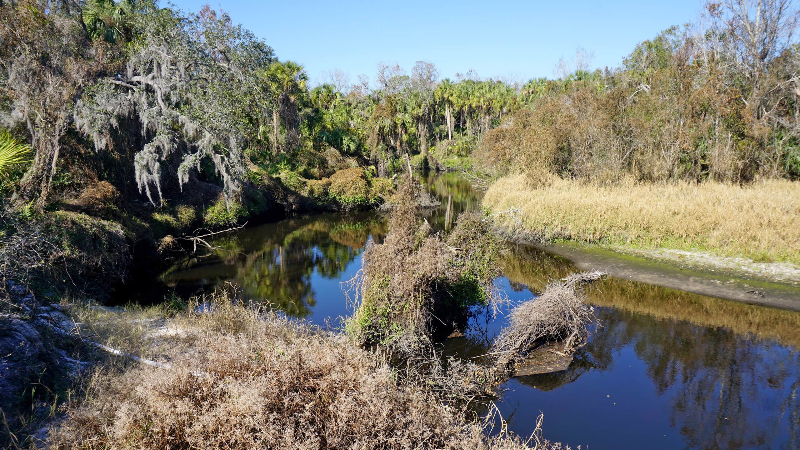 Little Manatee River State Park With sandy shores around every bend and a canopy of trees overhead, Little Manatee River State Park provides a beautiful destination for a family getaway.
 E.G. Simmons Park E.G. Simmons Park in Ruskin offers a campground along with its beaches and mazy mangrove-lined waterways for paddlers and anglers along Tampa Bay.
 Apollo Beach Nature Preserve Encompassing 63 acres along Tampa Bay, Apollo Beach Nature Preserve offers a natural waterfront and scenic views from an accessible observation tower.

- Calusa Heritage Trail - November 5, 2026
- Scherer Thaxton Preserve - October 21, 2026
- Little Awesome Preserve - October 19, 2026