

Winkler Point Trails CLOSED indefinitely due to damage from Hurricane Ian.
Buffering the heavily developed Gulf Coast between Fort Myers and Estero, Estero Bay Preserve State Park protects ten miles of shoreline.
Mangrove forests and tidal flats dominate, delicate estuaries that serve as nurseries for the aquatic life of the region.
But a smattering of upland communities also provide a home for displaced wildlife in this heavily urbanized area.
 Mangroves and salt grasses along a mud flat
Resources




Disclosure: As authors and affiliates, we receive earnings when you buy these through our links. This helps us provide public information on this website.
Overview
Length: 16 miles in two trail networks
Trailheads: 26.479860, -81.898348 (Winkler Point) or 26.442232, -81.834292 (Estero Scrub)
Addresses: 17981 Winkler Rd, Fort Myers, and 4940 Broadway Ave W, Estero
Fees: $2 per vehicle
Restroom: None
Land manager: Florida State Parks
Phone: 239-992-0311
Open 8 AM until sunset. Leashed dogs welcome. Expect mosquitos and prepare for them before you step out of the car. Trails may be muddy or entirely a wade, depending on tides.
Directions
From Interstate 75 exit 128 in Fort Myers, use Alico Rd west to reach US 41. For Estero Scrub, drive south on US 41 to Broadway Ave, just south of Estero Pkwy. Turn right and follow the road almost to its end. The trailhead is on the right under the power lines.
For Winkler Point, follow US 41 north to Gladiolus Dr. Turn left and follow it around Lakes Park, making a left on Summerlin Rd. Turn left again onto Winkler Point Rd and follow the road to its very end to reach the trailhead.
About the Park
Established in 1966 as Florida’s first aquatic preserve, Estero Bay Preserve is largely wet.
Much of it includes mangrove islands in the shallow bay between the mainland, Fort Myers Beach, and Lovers Key.
The park’s edge along the mainland is a puzzle of tidal marshes edged with mangrove forest, with wet flatwoods behind them.
 Mangroves building new ground atop the rocky coastline
Trails
Estero Bay Preserve has two distinct hiking loops, accessed from two different entrances: Estero Scrub near the south end and Winkler Point at the north end.
From our personal experience tackling these trails, despite being flat they aren’t easy. Expect slippery mud, long wades in salt water, and lots of mosquitoes.
 Tidal influx across a trail at Estero Scrub
Estero Scrub
By the name, you’d expect uplands. So it was a surprise just how wet the trails are along the 4.8 mile loop we documented for 50 Hikes in South Florida.
Additional and shorter hikes are feasible, including a 2.5 mile loop on the Fiddler Crab Trail or a 2 mile round-trip on the often-wet Blue Trail.
Also open to off-road bikes, the Pine Flatwoods Loop leads to the scrub, which transitions into scrubby flatwoods before dropping to a lower, wetter elevation.
Tides make all the difference here. Trails along the mud flats disappear under water at certain times of day. Cyclists should not ride into the marsh.
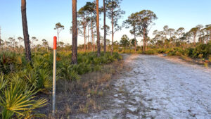 Estero River Scrub Skirting the edge of a tidal marsh alongside Estero Bay, the loop trails at Estero River Scrub are incredibly unique and a challenge to hike.
Winkler Point
At Winkler Point, the trail network had three stacked loops which allowed up to 6 miles of hiking, with a 1.1 mile loop on the Orange Trail a slosh through wet pine flatwoods.
Given the destructive force of Hurricane Ian across this landscape, it is unclear whether the pre-existing trails will be re-established or the trail network abandoned entirely.
It is unlikely any of the infrastructure, including observation decks and boardwalks, survived.
The 2.3 mile Blue Trail led to the edge of Hell Peckney Bay along tidal flats and had an overlook on a large pond.
The 1.6 mile Yellow Trail traversed the eastern edge of the tidal marsh, making for a mucky, wading walk.
 Winkler Point trailhead in 2002
Paddling
Paddlers can join the Great Calusa Blueway through the preserve from several launch points.
Hurricane Ian destroyed access to many boat ramps on the barrier islands, so your best launch would be at Koreshan State Park, where kayak and paddleboard rentals are available.
 Koreshan State Park When Dr. Cyrus Teed founded a commune along the banks of the Estero River in 1894, he envisioned a utopia in the tropics. Koreshan State Park preserves that slice of history.
Trail Map

Explore More!
Nearby Adventures
More worth exploring while you’re in this area.
 Mound Key Archaeological State Park Launch your kayak from either Koreshan Historic State Park or Lovers Key State Park for a paddle into Estero Bay to see Mound Key, a significant Calusa archaeological site.
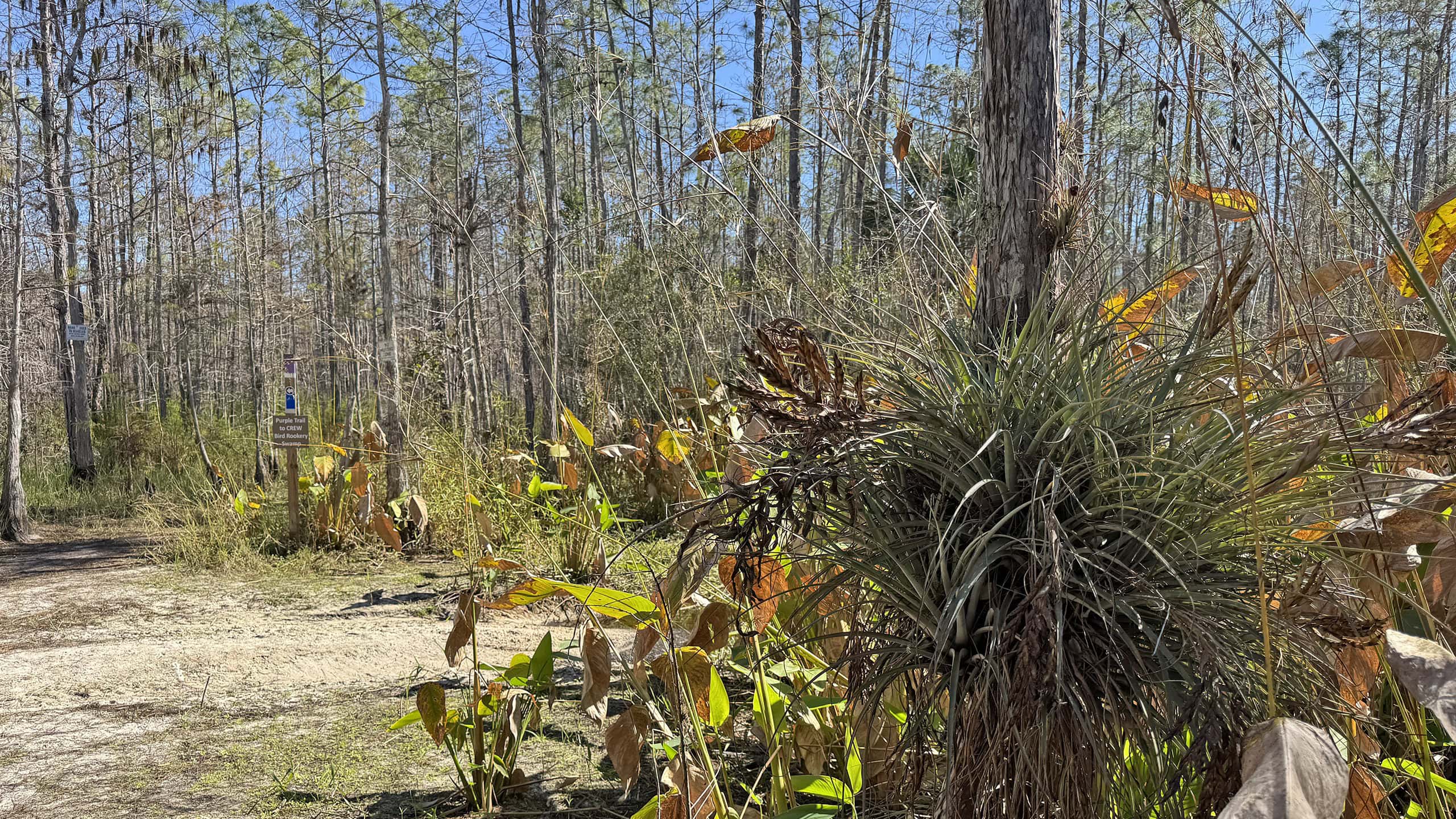 CREW Flint Pen Strand Just four miles east of Interstate 75, get your feet wet in one corner of the vast the Corkscrew Regional Ecosystem Watershed on the trails of Flint Pen Strand.
 CREW Cypress Dome Trails On this 4.4 mile loop, experience an impressive array of habitats in Florida panther habitat - from sandy flatwoods to flooded cypress swamps - in the Corkscrew Regional Ecosystem Watershed.
 Wild Turkey Strand Preserve Historic and natural landscapes come together along impressively accessible trails at this picturesque conservation area on a WWII-era training base.

- Michael Crotty Bicentennial Park - November 3, 2026
- A.J. Henry Park - November 1, 2026
- Okeeheelee Nature Center Trails - October 22, 2026