

Buffered by adjacent properties of protected land to the north and south, Faver-Dykes is an especially quiet destination for outdoor wandering.
Named after the individual who donated the original parcel of land to create this state park, the Hiram Faver Trail heads out to Hemming Point, a scenic location rich with history.
 Trailside bench
Located near the ranger station, this trail is easily accessible from the campground and is divided into two routes.
The Red Trail traces a 0.4 mile loop though a pair of distinctly different habitats, while the longer Green Trail continues to Pellicer Creek for a 2.5 mile round trip.
 Hemming Point on Pellicer Creek
Resources





Disclosure: As authors and affiliates, we receive earnings when you buy through our links. This helps us provide public information on this website.
Overview
Location: St. Augustine
Length: 2.5 miles
Trailhead: 29.670417, -81.252056
Address: 1000 Faver-Dykes Rd, St. Augustine
Fees: $5 per vehicle
Restrooms: Near the ranger station.
Land manager: Florida State Parks
Phone: 386-931-4124
Open 8 AM to sunset. Leashed dogs welcome. Insect repellent is recommended, as ticks can be numerous in this area.
Directions
At the interchange of US 1 and Interstate 95 between Palm Coast and St. Augustine, head north on US 1 for a tenth of a mile. Turn right onto Faver Dykes Rd. Follow the road for 3.1 miles to the trailhead parking next the ranger station at the end of the road.
Hike
Starting at the parking area, follow an inviting sidewalk across a quaint memorial garden to an interpretive display about Hiram Faver and early inhabitants of the region.
Beyond the display, a pair of pathways lead into the woods. Swing right to begin the southern half of the loop trail.
 Trailhead and memorial
Red and green blazes indicate the route along a wide sandy corridor flanked by saw palmetto, magnolia, and sand live oak.
Coonties dot a leaf strewn forest floor as the trail winds through the dappled shade of a maritime hammock community, passing a few benches along the way.
 Maritime hammock habitat
Reaching a junction at 0.3 miles, stay to the right, following green blazes south. Several trailside signs identify native vegetation along the path.
Venture toward the creek, where cabbage palms increase in number and oaks grow noticeably taller.
 Interpretive signage
Expansive salt marshes come into view between trees covered with Spanish moss near the half mile mark.
The trail bends to the east, revealing little evidence of its proximity to the water until it opens to a scenic vista at Hemming Point.
A creekside bench and picnic table encourages visitors to take a rest and soak in the scenery.
 Picnic table overlooking Pellicer Creek
Next to the picnic table, an informative kiosk describes some of the people who have resided at this spot throughout history, from Native Americans to a short-lived plantation owner.
An exposed patch of brick and mortar reveals a tiny portion of historic structures that have been reclaimed by nature over time.
 Building remnants
From this point, retrace your steps west to the bend in the trail and continue north. At 2.1 miles, start the other half of the loop trail.
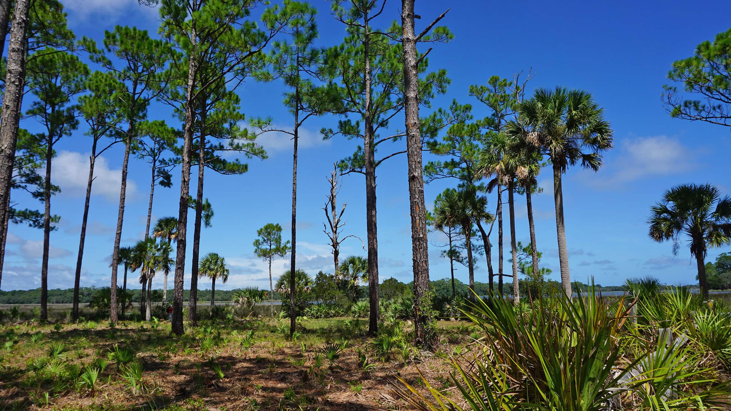
Red blazes lead out of the maritime hammock into an open pine forest as the path explores the edge of a mesic flatwoods community before reaching the trailhead in 0.4 mile.
 Flatwoods bench
Trail Map

Explore More!
Learn more about Faver-Dykes State Park
 Faver-Dykes State Park At Faver-Dykes State Park, explore the estuaries of the Matanzas River and the uplands above Pellicer Creek.
Video
Hiking the Hiram Faver Trail
Nearby Adventures
 Faver-Dykes Pine Loop Nestled in oak hammocks along Pellicer Creek, the Pine Loop Trail at Faver-Dykes State Park lets landlubbers trace the route of the creek through old-growth pines.
 Princess Place Preserve Explore wild spaces and cultivated grounds along eight different trails at Princess Place Preserve, an 1880s homestead at Cherokee Grove on Pellicer Creek.
 Moses Creek Conservation Area Follow a system of wide trails across pine forests, hammocks, scrub, and sandhill habitats to a scenic overlook and campsite along tidally-influenced Moses Creek.
 Matanzas State Forest A system of linear and loop trails connected to a primitive campground offers scenic views of flatwoods, hammocks, and marshes alongside the Matanzas River.

- Calusa Heritage Trail - November 5, 2026
- Scherer Thaxton Preserve - October 21, 2026
- Little Awesome Preserve - October 19, 2026