
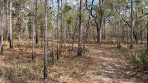
Sandhills are the central feature the Fire and Water Trail circles as it stays at the ecotone between this high, dry forest and lowlying habitats.
Among the water-dependent features are baygalls, bogs, and a slope forest descending into a ravine. A narrow plank bridge crossing over a creek is a highlight.
One of the first trails created at Jennings State Forest more than two decades ago, this interpretive Trailwalker Trail now connects to the larger Sandridge Trail complex.
 One of the highlights of this hike
Resources





Disclosure: As authors and affiliates, we receive earnings when you buy through our links. This helps us provide public information on this website.
Overview
Location: Middleburg
Length: 1.9 miles
Trailhead: 30.136294, -81.882306
Address: 900 Live Oak Ln, Middleburg
Fees: $2 per person
Restroom: None
Land Manager: Florida State Forests
Phone: 904-406-6390
Open sunrise to sunset. Leashed dogs welcome. No bicycles allowed. There are picnic tables at the trailhead. Reserve campsite online.
Hunting is permitted in the forest; review hunt dates in advance and wear bright orange if you plan to hike during hunting season.
Directions
From SR 21 in Middleburg, follow Long Bay Rd north 2.5 miles. Turn left on Old Jennings Rd and continue a mile. Turn right on unpaved Live Oak Ln. Drive 0.6 mile to reach Old Jennings Recreation Area, home to the Sandridge Trail. Continue north another mile to the circle at the end of the road for the Fire and Water Trail. Park along the circle.
Hike
Stop at the kiosk in the picnic area to pick up a map. Proceed straight ahead along the lime green blazes, passing a pair of benches.
The trail follows a forest road into the sandhills. To the north, a ribbon of baygall parallels the path.
 Start of the hike
The first large interpretive marker explains the transition zone between these two habitats and how fire helps maintain it.
Slash pines stand tall over a low ground cover of short saw palmetto and patches of wiregrass with chinquapin oaks.
 Transition zone
The next marker explains the effects of fire in the baygall. Reach a junction for the loop at 0.2 miles, bearing right to walk it counterclockwise.
The pathway narrows, palm fronds and young loblolly bay crowding in. At a quarter mile, a turnoff is marked with a binoculars sign.
 Sign for spur trail
This spur leads to a wildlife viewing blind set in a stand of oaks. It was falling apart on our visit.
Returning to the paved path, follow the straightaway as it gains a little elevation.
 Split in the trail
A double blaze denotes bearing left where the trail splits in two as it enters sandhills with a very open understory.
This is one of the most immersive portions of the trail, gently meandering past Marker 3. At a half mile, spiky Spanish bayonets rise trailside.
The open understory enables a long view across the forest, making its rolling hills obvious.
 Nice view across the sandhills
A double blaze marks a curve downhill along a seepage slope, where Marker 4 stands beside a sign on this unique habitat, which hosts pitcher plants.
The likelihood of seeing any varies with whether the habitat burned last season. The seepage coaleses into a bog which the trail circles.
 Seepage slope
After rising into a plateau of pines and low palmetto, the path slips down to the ecotone on its edge.
Below it, the forest is a dense tangle of oaks and bays; above, a hillside of sandhills.
 Along the ecotone
Taller pines and deeper shade thanks to a transition to slope forest signal a sharper dropoff into slope a ravine carved by a blackwater stream.
At 0.9 miles, a fenced overlook above the ravine is adjoined by an interpretative sign.
 Fence at dropoff
Rise up from this low point to skim along the sandhills again, the obvious drop of the landscape still visible through the open understory.
This comparison of habitats persists on the walk to Marker 6, where the sign talks about the longleaf pine at Jennings State Forest.
 A downhill curve
Curving downhill past an old worn track at 1.2 miles, descend into a ravine to cross a plank bridge with a wire handhold.
It hovers over a tributary flowing vigorously towards the far deeper ravine with the blackwater stream.
 Plank bridge
Ascend the leaf-strewn path into sandhills on its far side. Follow the arrow and blazing at a junction of forest roads, coming to a marker about a former homestead.
The sandhills open up again, with long views across the understory. The next interpretive sign talks about the effects of hurricanes on forests.
 Sandhills
Reaching a T junction at 1.5 miles, bear left. We believe the path to the right connects to the Sandridge Trails but no signage confirmed it.
A drainage across the forest road requires a little tricky footwork to pass it on the left. Native bamboo grows in this low spot.
 Soggy spot
Ascend into the sandhills. A large turkey oak arches over the trail. At the double blaze at 1.7 miles, complete the loop.
Turn right to exit along the straightaway back to the picnic area to finish up a 1.9 mile hike.
 Final straightaway
Trail Map

Explore More!
Learn more about Jennings State Forest
 Jennings State Forest Protecting the headwaters of Black Creek, one of the northernmost freshwater tributaries of the St. Johns River, Jennings State Forest spans almost 24,000 acres west of Jacksonville.
Video
Hiking the Fire and Water Trail
Slideshow
See our photos from the Fire and Water Trail
Nearby Adventures
 Jennings Sandridge Trails Extraordinary quiet awaits west of Jacksonville on a 4.1 mile immersion into a healthy pine savanna on a central loop within the Sandridge Trails at Jennings State Forest.
 Jennings Dunns Farm Trail A highlight of Jennings State Forest, this 3.5 mile loop traverses healthy longleaf pine habitat and showcases a series of cascades above the North Fork of Black Creek.
 Jennings Pioneer Trail With elevation changes, streams, and cascades, the Pioneer Trail is as close as you can get to the Appalachian Trail experience without leaving the Florida peninsula.
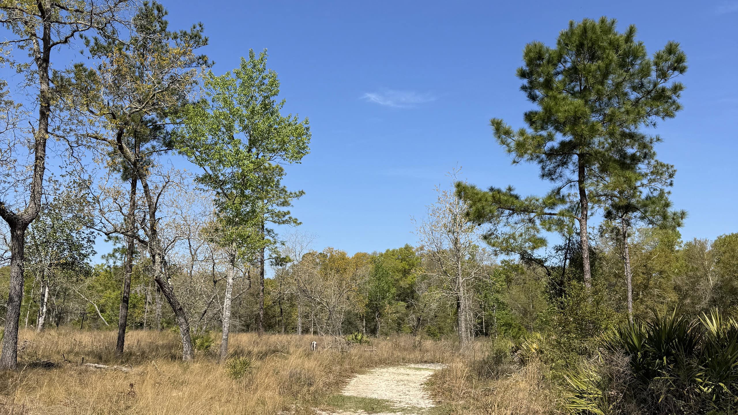 Black Creek Ravines Conservation Area Perched on high ground above Black Creek downstream from Middleburg, this 6.5 mile hike showcases upland forests, seepage slopes, bluffs and the transitional habitats between them.

- Michael Crotty Bicentennial Park - November 3, 2026
- A.J. Henry Park - November 1, 2026
- Okeeheelee Nature Center Trails - October 22, 2026