
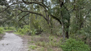
A vast green space east of New Port Richey, Starkey Park offers a variety of opportunities for outdoor recreation.
With a large playground and pavilion area, the park is popular among locals, who also jog and ride bikes along the paved Starkey Trail, a section of the Florida Coast to Coast Trail.
 One of the hiking-only loops
For hikers, a trio of loop trails span an expansive mosaic of natural landscapes, ranging from 1.6 miles to a nearly 14 mile trip.
Deeper ventures into the preserve can be turned into overnight backpacking trips, using one of three primitive campsites along the route.
 Sheltered benches make nice rest stops at trail junctions
Resources





Disclosure: As authors and affiliates, we receive earnings when you buy through our links. This helps us provide public information on this website.
Overview
Location: New Port Richey
Length: 13.8 miles
Trailhead: 28.252833, -82.640306
Address: 10500 Wilderness Park Blvd, New Port Richey
Fees: Free
Restrooms: Four restrooms throughout the day use areas
Land manager: Pasco County and Southwest Florida Water Management District
Phone: 727-834-3247
Open sunrise to sunset. Leashed dogs welcome. Campers must have reservations for backcountry sites. Call the park in advance.
Directions
From the the Suncoast Parkway east of New Port Richey, head west on SR 54 for 6.6 miles before turning right onto Starkey Blvd. In 4.4 miles, make a right onto Wilderness Park Blvd. Follow the main park road for 0.6 miles, passing the nature center before turning right onto a dirt road that ends at the trailhead in another tenth of a mile.
Hike
Starting at the shared trailhead for the equestrian and hiking loops, head eastward across a grassy clearing.
Pass a group of benches before following a sandy access road into the woods. In a tenth of a mile, turn left at a fork in the trail.
Follow orange and blue blazes around a group tent campsite.
 Main Trailhead
Nearing a quarter mile, take a short detour along the McNeil Homestead interpretive trail through the remains of a pioneer homestead.
A series of signs along the short loop describe historic remnants of this 1880s homestead.
 McNeil Homestead
At a trail junction in 0.8 mile, continue following orange blazes eastward where blue blazes branch off to form the shortest loop.
Oaks give way to sand pines as the surrounding landscape transitions to a xeric scrubby flatwoods.
The halfway point on the 3 Mile Loop is marked with a sign next to a covered bench.
 Covered bench
Turning left to follow a connector trail to the next loop, use a small boardwalk to navigate around a dip between two cypress strands.
The path emerges onto an open pine forest. Stay to the right at the next fork.
Follow the wide pathway across prairies covered in saw palmetto dotted with pines and a scattering of oaks.
 Scrubby flatwoods
Approaching 3.3 miles, a side spur leads to Campsite #1, a cozy spot with a picnic table, fire ring, and grill tucked into a small hammock.
In less than a tenth of a mile, the trail takes a couple of sharp turns before crossing a potentially wet section where a narrow cypress strand intersects the trail.
 Campsite #1
Reaching the eastern side of the second loop near the five-mile mark, join the next connector trail leading to the final loop.
At 5.8 miles, turn right onto the paved Starkey Trail. In a few hundred feet, a side trail leads to Campsite #2.
This tiny grassy clearing in the flatwoods is shared with long-distance cyclists following the Florida Coast to Coast Trail.
 Campsite #2
Continue eastward over the dark tannic waters of Cross Cypress Branch and turn right at the next hiking trail sign, leaving the pavement.
The trail then follows a sweeping arc across wet flatwoods between cypress domes and the Anclote River, reaching the Starkey Trail again at 7.8 miles.
 Cross Cypress Branch
An inviting covered bench awaits at the far end of the trail, providing a resting spot before heading back towards the trailhead.
From this point, follow the paved trail westward, spanning Cross Cypress Branch again.
Turn right after ten miles to begin the northern half of the middle loop.
 Starkey Trail
Shortly after crossing a wet area between two cypress domes, the trail passes Campsite #3, an open spot with the same amenities as the other two primitive sites.
Orange blazes continue to the west as the path traverses sandhill and flatwoods communities before closing the loop.
 Sandhill habitat
Stay to the left at the next fork as the trail cuts through a patch of rosemary scrub and winds northward past a few basin marshes.
The largest features a side trail leading to an impressive elevated bird blind.
Close the final loop shortly after the bird blind, and cross the clearing once again, ending at the trailhead.
 Florida rosemary
Trail Map

Explore More!
Learn more about Starkey Wilderness Park
 Jay B. Starkey Wilderness Park Explore an expansive landscape of pine flatwoods, prairies, scrubby flatwoods, and open scrub along over 16 miles of hiking trails east of New Port Richey.
Video
Hiking the Starkey Wilderness Loop
Slideshow
See our photos from the Starkey Wilderness Loop
Nearby Adventures
 Werner-Boyce Salt Springs State Park Home to one of Florida's deepest springs, at 320 feet deep, Werner-Boyce Salt Springs State Park protects crucial coastal estuaries along the Gulf Coast.
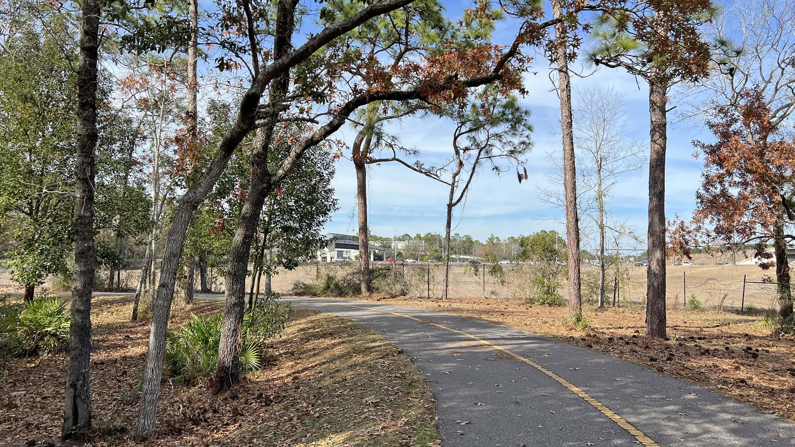 Suncoast Trail Stretching 41.3 miles from the Tampa metro to north of Brooksville, the Suncoast Trail is one of the longest continuous paved bike paths in Florida
 James E Grey Preserve Hugging the shores of the winding Pithlachascotee River, James E. Grey Preserve follows its natural shorelines with an extensive accessible boardwalk.
 Anclote Key Preserve State Park A place to play Robinson Crusoe for a day or overnight, Anclote Key Preserve State Park is an offshore gem in the Gulf of Mexico made up of four islands within sight of Tarpon Springs

- Calusa Heritage Trail - November 5, 2026
- Scherer Thaxton Preserve - October 21, 2026
- Little Awesome Preserve - October 19, 2026