
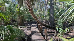
An immersive 1.3 mile hike, the Nature Trail extends from the day use area through lush hardwood hammocks into the Pithlachascotee River floodplain.
A spur trail leads to the river, but may be impossible to follow to the water’s edge depending on how wet the floodplain is.
 This hike’s goal
From a trailhead at Parking Lot 7, it’s now signposted the Sasquatch Trail. Our route starts at the original access point behind Shelter 5 at Parking Lot 8.
This starting point enables you to easily continue on to the Bluebird Trail to incorporate this loop into a much longer hike.
 Start at the paved path
Resources





Disclosure: As authors and affiliates, we receive earnings when you buy through our links. This helps us provide public information on this website.
Overview
Location: New Port Richey
Length: 1.3 miles
Trailhead: 28.25967, -82.63386
Address: 10500 Wilderness Park Blvd, New Port Richey
Fees: Free
Restroom: At the trailhead
Land manager: Pasco County
Phone: 727-834-3247
Open daily dawn to dusk. Leashed dogs welcome; pick up after your pet. Cyclists not permitted.
Directions
From the Suncoast Parkway, follow SR 54 west to Little Rd (CR 1). Drive north 2.2 miles. Turn right on River Crossing Blvd and go 1.3 miles, then make a left on Starkey Blvd. Continue a quarter mile to make a right on Wilderness Road, which leads into the park and loops at the very back of the park near the parking areas by the Nature Trail. Parking Area
Hike
Blazed in orange and blue, the paved path leading into the oak hammock adjoining Shelter 5 also has a sign pointing out it’s the connector to the bike trail.
At a blue-blazed post, the Bluebird Trail turns left. Just past it, turn left on an unmarked footpath towards a rounded prairie.
 Turn off the paved path towards the prairie
Circle the prairie on its right side, coming to a gap in the old ranch fence. Walk into the shade of the oaks along the pond and turn right.
Both ends of the nature trail start here. One is marked with a Nature Trail sign. For a counterclockwise loop, make a right on the closer footpath that is not.
 Start of the loop counterclockwise
Follow a well-defined corridor in the saw palmetto under the pines. Lime green blazes lead the way.
Pass another gap in the fence before curving away from it towards towering oaks, pines, and cypress. Cabbage palms quickly claim the understory.
 Cabbage palms begin to dominate
Enter a bottomland forest, reaching a footbridge over a blackwater stream a quarter mile in from the bike path.
It’s a tricky crossing, requiring ducking under a cabbage palm trunk. Narrowing and rooty, the footpath beyond also requires attention to avoid tripping.
 Tricky crossing
Wild coffee grows in patches below stately pines rising well above a thicket of palm fronds. Cypress knees jut from pine needles.
Nourished by the nearby Pithlachascotee River, the understory becomes a riotous jungle of moisture-loving vegetation, including both marlberry and bay trees.
 Watch your step!
Gaining a little elevation, walk beneath a high canopy defined by ancient live oaks, tall cabbage palms, and huge southern magnolias.
A well-anchored bald cypress spreads its roots across the footpath. Bromeliads thrive in this outstanding canopy, the limbs of the live oaks furry in resurrection fern.
 The impressive canopy above
A half mile in, the sign at a trail junction points to the river to the right. Ending at the banks of the Pithlachascotee, this spur can be an adventure.
A cutout silhouette of Bigfoot lurked at the junction on our visit. Turn right for a round-trip into this bottomland forest.
 Trail junction
The footpath slips under and past the imposing trunks of enormous live oaks and into a patch of forest dense with magnolias.
After a few curves, a narrow straightaway may have muddy patches between tree roots.
 One of the largest live oaks
The high canopy ahead is mainly cypress trees, signaling the river is near. How close you can get depends on water levels, as the footpath may become deep mud.
Green blazes and a puzzle of beaten paths lead to the river’s edge at 0.7 miles.
 Entering the river floodplain
Rising from the marshes to the east within Starkey Wilderness and Serenova Preserve, it isn’t very wide, but tannic and clear within its banks.
Return along this often-muddy spur to the trail junction and turn right to continue the loop.
 Pithlachascotee River
The wide path quickly leads to a long boardwalk crossing a feeder stream.
Ascend to the higher ground of the pine flatwoods, the winding path through the columns of pines blazed but obvious up to a double blaze.
 Boardwalk
A “Trail” sign confirms the correct route. Pine flatwoods yield to sand pines and oak scrub on a gradual ascent.
Within sight of the park road at 1.1 miles is a junction with two potential routes back to Shelter 5 and Parking Area 8.
 Approaching the junction
By crossing the road, which has a sponsored sign facing the way you came calling it the Sasquatch Trail, enter an island of forest between parking areas and picnic shelters.
At first the blazes stay lime green, then become pale purple. There are numerous unmarked junctions, one of which leads to a StoryWalk loop for children.
Puzzling a route through, emerge into a parking lot at 1.3 miles within sight of Shelter 5.
 Along the pathways of the island
Alternatively, the footpath next to the Nature Trail Ends sign continues your loop back to the round prairie behind Shelter 5.
Green blazes lead through a thicket of scrub edged by skinny slash pines. After a few turns, immerse in the pine flatwoods once more.
 Continue the original loop behind this sign
Exit the footpath along the shoreline of the round prairie at a Nature Trail sign pointing the way you came.
A left takes you back through the fence gap to the two-track around the prairie to the bike path, with a right to exit to the trailhead after 1.3 miles.
Or turn right to walk past Shelter 5, a large picnic pavilion, and the restrooms near it to return to Parking Area 8.
 Emerging at the round prairie
Trail Map

Explore More!
Learn more about Starkey Wilderness Park
 Jay B. Starkey Wilderness Park Explore an expansive landscape of pine flatwoods, prairies, scrubby flatwoods, and open scrub along over 16 miles of hiking trails east of New Port Richey.
Video
Hiking the Starkey Wilderness Nature Trail
Slideshow
See our photos from the Starkey Wilderness Nature Trail
Nearby Adventures
 Starkey Wilderness Loop At popular Starkey Wilderness Park, string three loop trails together for a truly wild 13.8 mile backcountry trek across scrub, sandhill, flatwoods, and cypress swamps.
 Werner-Boyce Salt Springs State Park Home to one of Florida's deepest springs, at 320 feet deep, Werner-Boyce Salt Springs State Park protects crucial coastal estuaries along the Gulf Coast.
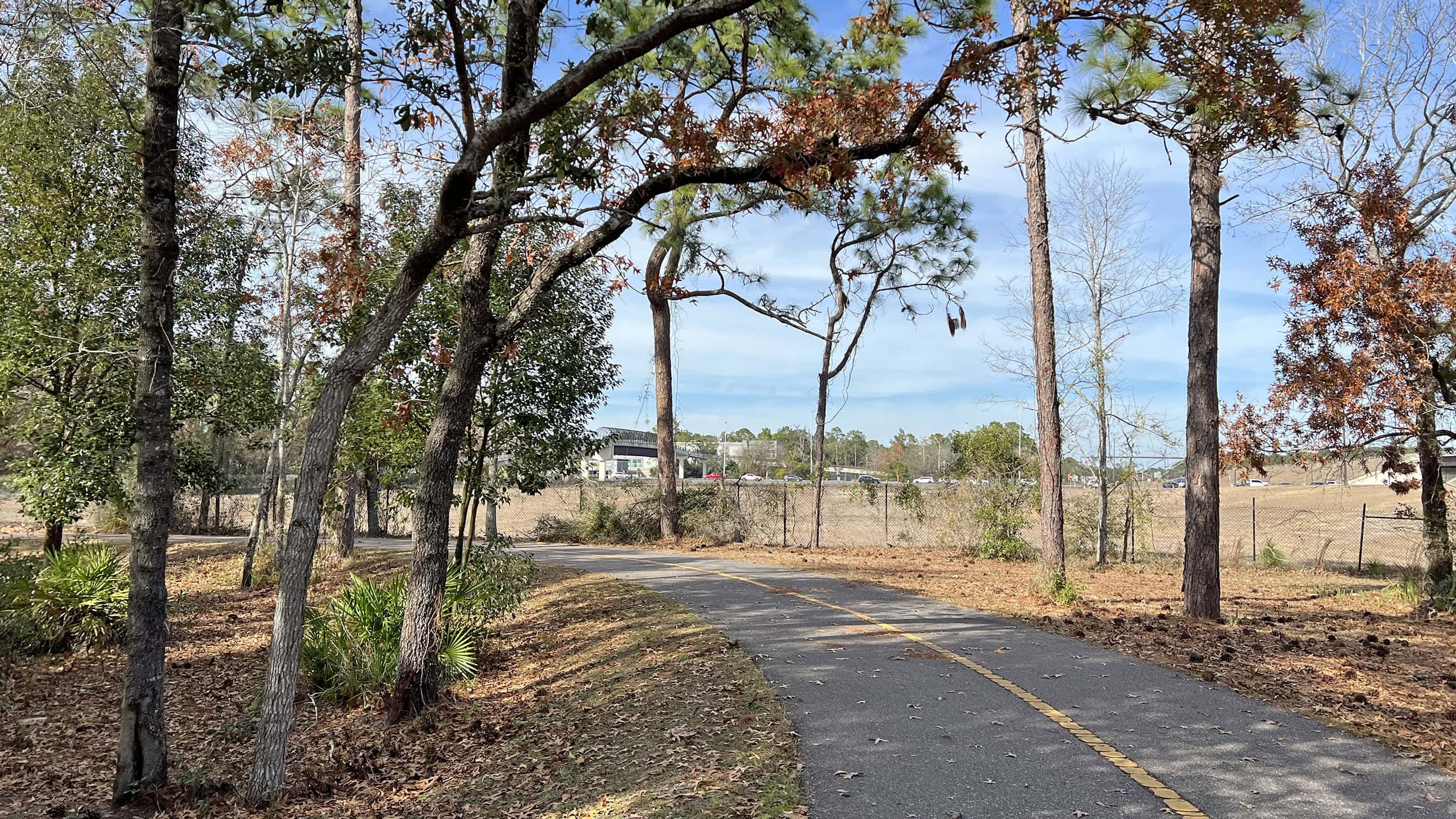 Suncoast Trail Stretching 41.3 miles from the Tampa metro to north of Brooksville, the Suncoast Trail is one of the longest continuous paved bike paths in Florida
 James E Grey Preserve Hugging the shores of the winding Pithlachascotee River, James E. Grey Preserve follows its natural shorelines with an extensive accessible boardwalk.

- Michael Crotty Bicentennial Park - November 3, 2026
- A.J. Henry Park - November 1, 2026
- Okeeheelee Nature Center Trails - October 22, 2026