
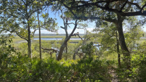
Separated from Little Talbot Island by an expanse of estuary surrounding Simpson Creek, Big Talbot Island is at its breeziest atop its forested bluffs.
Showcasing a view of the estuary at its end, this gentle footpath burrows deep into the shade of the forest before emerging at the panorama.
 Beauty of the forested bluff
Resources



Disclosure: As authors and affiliates, we receive earnings when you buy through our links. This helps us provide public information on this website.
Overview
Location: Big Talbot Island
Length: 0.7 mile round trip
Trailhead: 30.469085, -81.439524
Address: Buccaneer Trail, Jacksonville
Fees: $3 per vehicle
Restroom: South along A1A at Simpson Creek
Land manager: Florida State Parks
Phone: 904-251-2320
Open 8 AM to sundown. Leashed dogs welcome. Expect copious mosquitoes.
Directions
From Jacksonville, drive north via I-295E over the Dames Point Bridge and exit at Heckscher Dr (SR 105). Drive east. After the highway passes the St. Johns River ferry dock 9 miles into the drive, the road becomes A1A. Continue another 9 miles, driving through Little Talbot Island State Park before crossing a causeway and bridge over Simpson Creek to Big Talbot Island State Park. The trailhead for the Big Pine Trail comes up quickly on the right.
Hike
Follow the paved Timucuan Trail north to the entry point to the Big Pine Trail, where a small park sign marks the footpath.
Enter the coastal hammock, curving past a large split oak, its trunk splayed in several segments, two resting on the forest floor.
 The footpath starts
Live oaks knit the canopy above, with tall pines visible in the distance where the sky opens up. Saw palmetto crowds the understory.
Turning towards the pines, the leafy footpath leads past American holly and red bay. Sunlight glistens through streamers of Spanish moss.
 Archway of oaks
Live oak limbs form archways above before the corridor tightens, entering a tunnel framed by cabbage palm fronds.
Vines swarm the tall trunks of lone pines poking out of this crazy quilt of dense understory.
 Tunnel of fronds
Emerge into a sunny spot at a quarter mile and seek the shade afforded by the oaks above a bench perfectly positioned to take in the Simpson Creek panorama.
Anglers drift by in the maze of estuary. The treeline on the far side is Little Talbot Island.
 Bench with a view
Continue a little further to a bluff sitting lower to the expanse of marsh. The path once went downslope but has been abandoned.
Take in this closer perspective of the Simpson Creek estuary through a screen of trees. Turn around and retrace your route, reaching the trailhead at 0.7 miles.
 End of the trail
Trail Map

Explore More!
Learn more about Big Talbot Island State Park
 Big Talbot Island State Park Wind and water perpetually reshape the landscape along this rugged Atlantic shoreline with tidal pools, black rock beaches, and a boneyard of sand-scoured trees.
Video
Hiking the Big Pine Trail
Slideshow
See our photos from the Big Pine Trail
Nearby Adventures
 Timucuan Trail Connecting a series of state parks north of the St. Johns River in Jacksonville, the Timucuan Trail is a delightfully scenic segment of the East Coast Greenway.
 Big Talbot Black Rock Trail An unusual and picturesque geologic anomaly, Blackrock Beach at Big Talbot Island is covered with formations that look like black lava rocks but are made of sand.
 Dune Ridge Trail Expect some elevation change along the Atlantic Coast on this traverse of coastal habitats that includes the tall oceanfront dunes and the beach itself.
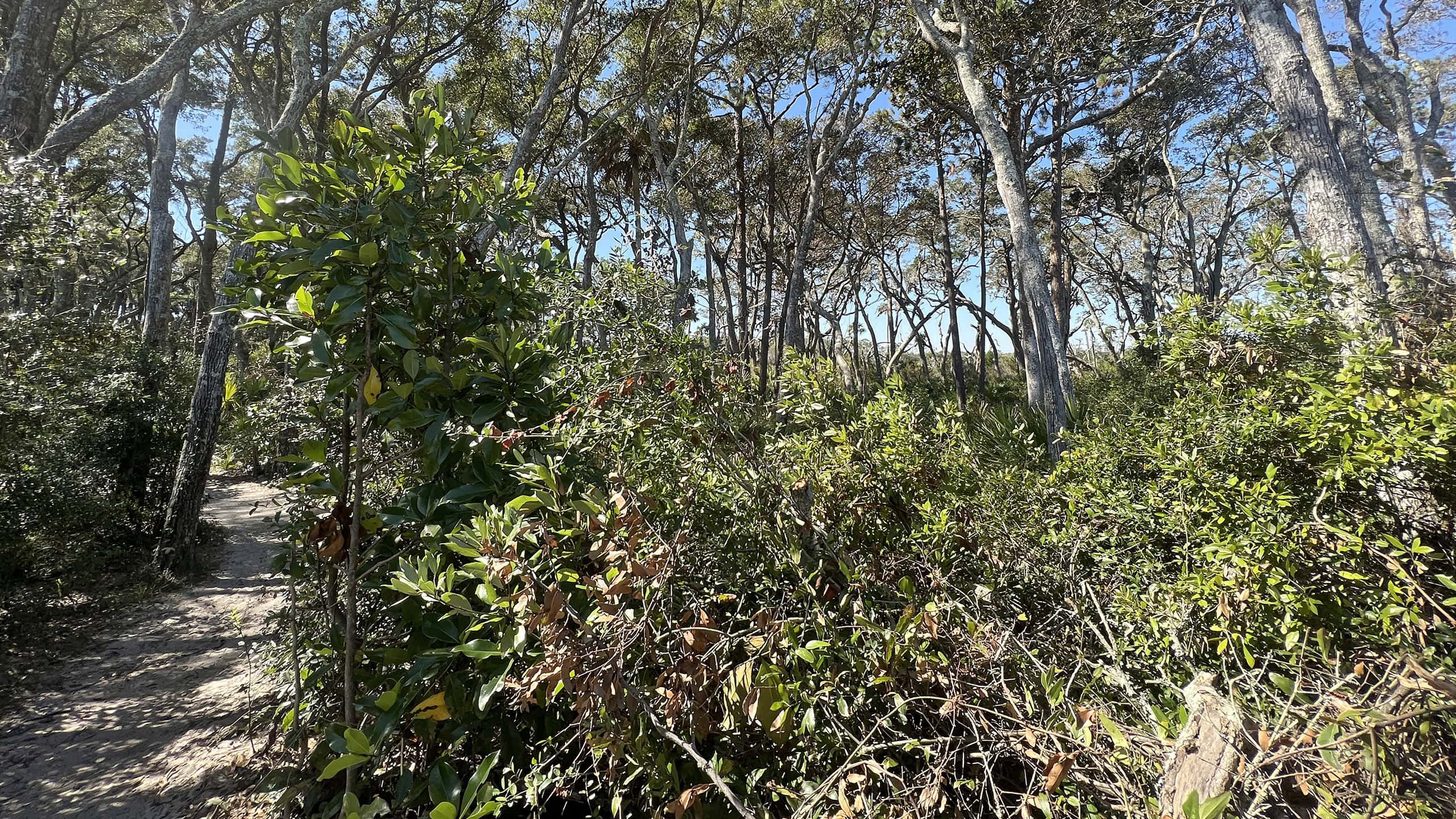 Big Talbot Shoreline Access Trail Slipping through coastal habitats on the bluffs of Big Talbot Island, this linear path keeps extending as erosion forces shifts in shoreline access.

- Michael Crotty Bicentennial Park - November 3, 2026
- A.J. Henry Park - November 1, 2026
- Okeeheelee Nature Center Trails - October 22, 2026