• Skip to main content
  • Skip to header right navigation
  • Skip to after header navigation
  • Skip to site footer
Florida Hikes logo

Florida Hikes

Hike Bike Paddle Camp Florida with authors Sandra Friend and John Keatley as your guides

  • Trails
  • Maps
  • Guidebooks
  • Hike
    • Scenic Hikes
    • Loop Trails
    • Dog-friendly Hikes
    • Hikes for Kids
    • National Parks in Florida
    • Florida State Parks
  • Bike
    • Major Bike Trails
    • Paved Bike Trails
    • Off Road Biking
    • Biking Articles
  • Paddle
    • Canoe & Kayak Rentals
    • Paddling Destinations
    • Paddling Articles
  • Camp
    • Cabin Rentals
    • Car Camping
    • Primitive Camping
  • Florida Trail
    • Plan your Hike
    • Best Scenic Hikes
    • Best Backpacking
    • Section Hiking
    • Thru-Hiking
    • Trail Updates
  • Travel
Stone monument in hammock behind stone bridge

Dade Battlefield Historic State Park

The Second Seminole War sparked amid the longleaf pines in these woods near Bushnell, where Federal troops and Seminole warriors met on December 28, 1835.

Bushnell (28.65139, -82.12595)   1.7 miles  

On December 23, 1835, Major Francis Dade left Fort Brooke (in what is now downtown Tampa) and led his troops north towards Fort King, Ocala.

This longstanding historic site interprets what happened when Federal troops and Seminole warriors clashed in these piney woods.

Kiosk with battle details Interpretive kiosk at Visitor Center


Quiet except during special events, the grounds include several picnic pavilions with enormous live oaks nearby. A nature trail loops a patch of pine flatwoods.

The Visitor Center incorporates museum exhibits and a movie to provide a backdrop for the sequence of battle along the historic military road.

Museum exhibits on Dade Battlefield Exhibit space


A more visceral way to experience the battlefield is its annual reenactment in late December, the drama unfolding as narrated by the ghost of Ransom Clark.

“This is where they killed us all,” he says, striding out of the woods before the first shot is fired. “And I got to keep coming back.”

Wooden sign with fort names Sign along the historic military trail where the battle occurred


Resources

Resources for exploring the area
Hikers Guide to the Sunshine State book cover 50 Hikes in Central Florida Central Florida Orlando Explorers Guide book cover Paddlers Guide Florida
 
Disclosure: As authors and affiliates, we receive earnings when you buy through our links. This helps us provide public information on this website.

Overview

Location: Bushnell
Length: 1.7 mile loop
Trailhead: 28.65139, -82.12595
Address: 7200 Battlefield Parkway, Bushnell
Fees: $3 per vehicle
Restroom: At the Visitor Center and picnic area
Land manager: Florida State Parks
Phone: 352-793-4781

Open 8 AM to sunset. Leashed dogs welcome. Reserve picnic pavilions in advance. Check ahead regards festival and reenactment dates.


Directions


From US 301 in Bushnell, take CR 476 west for 0.5 mile. Turn left on Battlefield Drive, which leads into the park. After paying your entrance fee, bear left, following signs to the Visitor Center. Park next to it.

Hike

From the kiosk in front of the Visitor Center, cross the park road to a large triangular log structure, an example of a log breastworks or redoubt.

Bear right to walk south along the Fort King Road in the direction of Fort Brooke. This path under the ancient live oaks ends at a back gate into the park.

A triangle of logs under ancient oaks Log breastworks along the Fort King Road


Turn around and walk more slowly, imagining five days of walking through the wilds of Florida in a winter chill under a heavy load.

Dade’s troops were headed to Fort King to bolster the inadequate forces there against the assumption of an Indian uprising.

In fact planning to kill the Federal agent at Fort King in response to the government’s Indian removal policy, the Seminoles tracked their movement.

Sand path under large oaks At the time, this was an open flatwoods


Pass the milepost towards Fort King to follow in their footsteps. A progression of small interpretive markers walks you through the battle.

The soldiers resumed their march the morning of December 28. They stepped into a trap. At least 180 Seminole warriors participated in the ambush.

From behind the oaks and pines, a deadly rain of fire killed half of Major Dade’s command. He did not survive the first attack.

Interpretive marker by a large pine Interpretive marker along the path


Crossing a stone footbridge from the 1920s, note the memorial markers ahead for the fallen officers, including Major Dade.

His troops regrouped, tending to the wounded, building a hurried breastworks for protection.

Within six hours, a second attack sealed their fate. Of 108 troops, only three soliders escaped with their lives, including Ransom Clark. They returned to Fort Brooke.

Stone bridge with markers like inverted white cannons beyond Stone bridge


The fallen soldiers were not buried until seven months later, when General Gaines brought in troops to do so.

In 1842, Army officers and enlisted men raised funds to have them reburied in the St. Augustine National Cemetary.

Pass the memorials, which mimic the cannon originally used to mark the cemetery here.

markers like inverted white cannons under oaks Memorial markers


Eighty years later, Judge James Koonce was instrumental in preserving this property as a state memorial.

The trail ends at the park road. A quick tenth of a mile round trip to the front gate lets you inspect the unique archway up close.

Metal arch between stone towers Ornate entrance arch


Continue along the park road along its right-hand branch towards the picnic area, heading under the pines to the parking area by the restrooms.

Reaching the Nature Trail sign at 0.6 miles, follow these details to hike the Pine Flatwoods Trail, an interpretive walk in the woods.

Stone monument in hammock behind stone bridge Dade Battlefield Historic State Park The Second Seminole War sparked amid the longleaf pines in these woods near Bushnell, where Federal troops and Seminole warriors met on December 28, 1835.

Completing it by 1.4 miles, walk straight ahead into open green space, passing an enormous live oak with benches beneath it.

Aim for the Chief Jumper picnic pavilion. On its east side, discover a deeply catfaced longleaf pine trunk on a towering pine.

Catfaced pine and picnic pavilion Catfaced pine


Cross the parking area and head towards the enclosed pavilion sheltered under a canopy of live oaks.

Go behind it. Beyond the picnic tables, a brown sign points towards a small stone bridge over a ditch.

Picnic tables with brown sign beyond Picnic area behind the pavilion


Returning towards the Visitor Center on this path, bear right at the sign for the Ancient Oak Tree.

This broad path within a dense understory under large live oaks opens up into a clearing with the biggest oak of them all.

Sign for ancient oak Ancient Oak turnoff


Given its size, it may have been young when the battle occurred. Walk around its impressive base. Its thick limbs are furred with resurrection fern.

Bear right in front of it to continue a short loop under the oak canopy back to your starting point, exiting to the Visitor Center after a 1.7 mile hike.

Massive oak with woman in colorful coat for size The Ancient Oak, with Sandra for size


Trail Map

Dade Battlefield Trail Map
Green: Pine Flatwoods Trail. Yellow: Ancient Oak Trail. Red: Fort King Trail. Blue: connectors

Explore More!

Video

Hiking Dade Battlefield


Slideshow

See our photos from Dade Battlefield


Nearby Adventures

Citrus Trail at Lizzie Hart Sink Withlacoochee State Forest With more than 155,000 acres spread over several counties, Withlacoochee State Forest is Florida’s second largest state forest, and arguably the most popular for outdoor recreation
Cypress swamp Hog Island Nature Trail For a dip into primordial wilderness along the Withlacoochee River, walk the Hog Island Nature Trail at Hog Island Recreation Area in Withlacoochee State Forest.
Long stretch of bike path in forest Withlacoochee State Trail Tracing 44 miles of railroad history down forested corridors, past big lakes and city parks, and through quaint communities, the Withlacoochee State Trail is one sweet ride
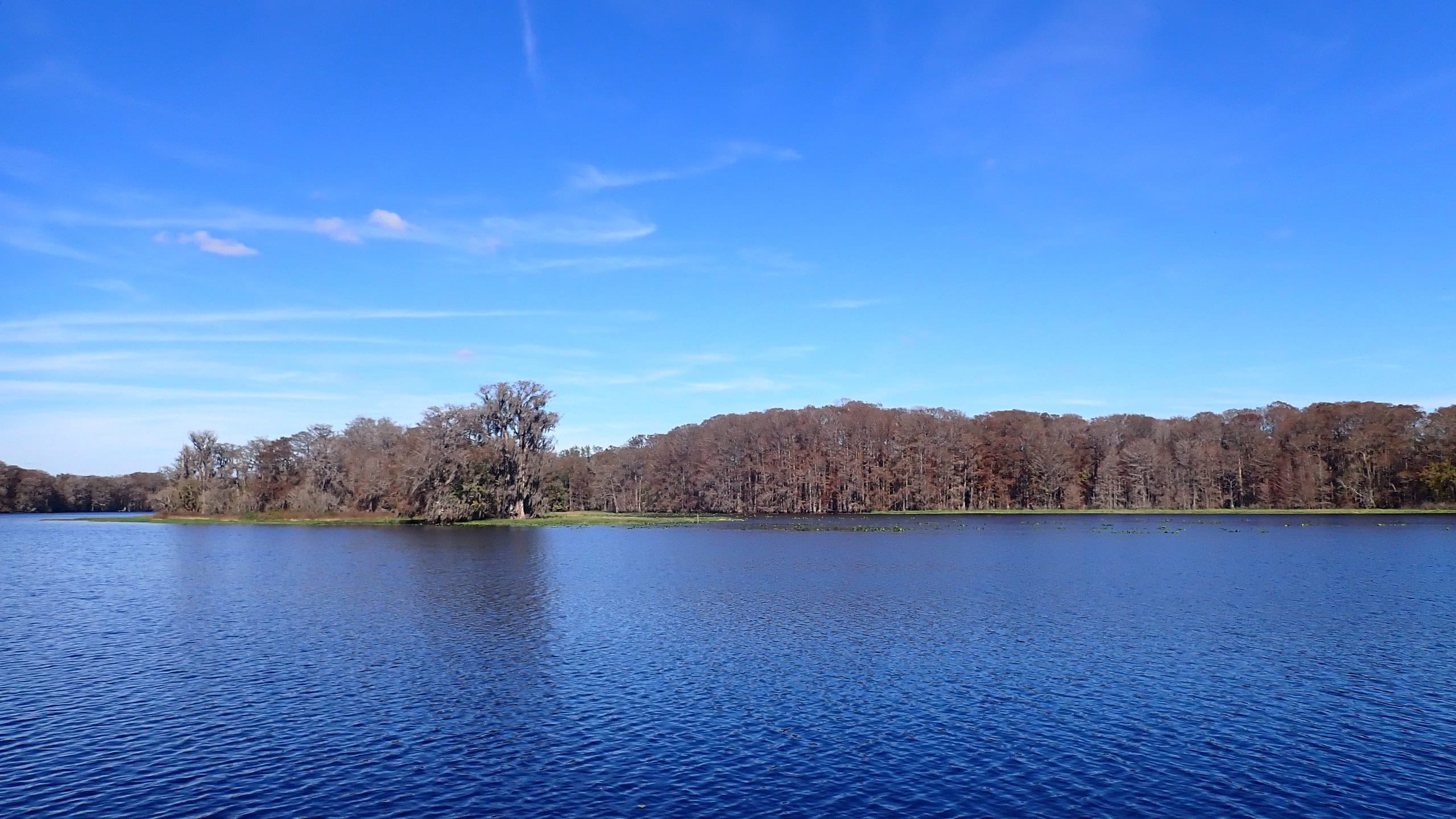
Expanse of blue walk Lake Townsen Preserve Offering access to the Withlacoochee River and the Withlacoochee State Trail while protecting a swath of environmentally sensitive lands west of Nobleton, Lake Townsen Preserve is the gateway to miles of trails.

Trail Map (PDF) Official Website

  • Author
  • Recent Posts
Sandra Friend & John Keatley
Articles jointly researched, written, and photographed by Sandra Friend & John Keatley, authors and publishers of FloridaHikes.com.
Sandra Friend & John Keatley
Latest posts by Sandra Friend & John Keatley (see all)
  • Fort Matanzas National Monument - November 21, 2026
  • Carney Island Conservation Area - November 19, 2026
  • Hal Scott Red Trail - November 13, 2026
Category: Central Florida, Florida State Parks, Museums, Nature Trails, Parks, TrailsTag: Archaeological Sites, Big Trees, Birding, Bushnell, Dade Battlefield State Park, Dog-friendly, Family-Friendly, Florida State Parks, Historic Sites, Inverness, Leesburg, Picnic, Reenactments, Seminole Wars

Sidebar

FarOut Guides

Our comprehensive trail logistics presented on offline maps:

Florida National Scenic Trail (1,500 miles)
Florida Keys Overseas Heritage Trail (108 miles)
Eastern Continental Trail in Florida (92 miles)


We earn a small commission on sales through these links. Thanks for your support!


Our Florida Guidebooks

We’ve written Florida guidebooks for over 25 years. These include Central Florida destinations.

Book cover with woman hiking through palms with baby carrier
Book cover of Florida Trail Hikes
The Florida Trail Guide fifth edition
50 Hikes in Central Florida 3rd edition

Explore More

Newest Articles for Central Florida

Lush mossy canopy Carney Island Conservation Area
Hiking trail rounding sinkhole with bench nearby Kelly Park
Sandy footpath through wiregrass Wekiwa Springs Hiking Trail
Path through pine flatwoods Hal Scott Red Trail

  • Facebook
  • Flickr
  • Instagram
  • Pinterest
  • Substack
  • Vimeo

FIND A TRAIL OR PARK

METROS: Bradenton. Clearwater. Crestview. Daytona Beach. Destin. Fort Lauderdale. Fort Myers. Fort Walton Beach. Gainesville. Jacksonville. Kissimmee. Lakeland. Melbourne. Miami. Naples. Ocala. Orlando. Panama City Beach. Pensacola. Port St. Lucie. Punta Gorda. St. Petersburg. Sanford. Sarasota. Sebring. Stuart. Tallahassee. Tampa. Vero Beach. West Palm Beach.

MULTI-REGION: Atlantic Coastal Ridge. Atlantic Coast. Bartram Trail. Big Bend. East Coast Greenway. Everglades National Park. Florida National Scenic Trail. Gulf Coast. Lake Wales Ridge. WATERWAYS: Indian River Lagoon. Intracoastal Waterway. Kissimmee River. St. Johns River. Withlacoochee River.

NORTHWEST FLORIDA: Altha. Apalachicola. Apalachicola National Forest. Big Bend Scenic Byway. Blackwater River State Forest. Blountstown. Bonifay. Bristol. Bruce. Cantonment. Cape San Blas. Carrabelle. Chattahoochee. Chipley. Crawfordville. DeFuniak Springs. Eastpoint. Ebro. Eglin Air Force Base. Freeport. Fountain. Gulf Breeze. Gulf Islands National Seashore. Holt. Madison. Marianna. Milton. Monticello. Mossy Head. Munson. Navarre. Navarre Beach. Newport. Niceville. Panacea. Panama City . Perdido Key. Ponce De Leon. Port St. Joe. Quincy. Santa Rosa Beach. Sopchoppy. South Walton. St. George Island. St. Marks. St. Marks NWR. Sumatra. Vernon. Wakulla. Wewahitchka. Woodville. WATERWAYS: Apalachicola River. Blackwater Bay. Blackwater River. Chipola River. Choctawhatchee Bay. Choctawhatchee River. Coastal Dune Lakes. Ochlockonee Bay. Perdido River. St. Marks River. Wacissa River. Wakulla River. Yellow River.

NORTH FLORIDA: Alachua. Amelia Island. Archer. Baldwin. Branford. Bronson. Bunnell. Callahan. Cedar Key. Chiefland. Crescent City. Cross City. Cross Creek. Dowling Park. Ellaville. Fanning Springs. Fernandina Beach. Flagler Beach. Fort White. Glen St. Mary. Green Cove Springs. Hawthorne. High Springs. Inglis. Jacksonville Beaches. Jacksonville Northshore. Jasper. Jennings. Keystone Heights. Lake Butler. Lake City. Live Oak.Macclenny. Mandarin. Mayo. Mayport. Micanopy. Middleburg. Old Town. Olustee. Orange Park. Osceola National Forest. Palatka. Palatka-Lake Butler Trail. Palm Coast. Palm Valley. Perry. Ponte Vedra. Rodman. Salt Springs. St. Augustine. Starke. Steinhatchee. Suwannee. Suwannee River Wilderness Trail. Suwannee Springs. Talbot Islands. Timucuan Preserve. Trenton. Waldo. Welaka. White Springs. Williston. Worthington Springs. Yankeetown. WATERWAYS: Santa Fe River. St. Marys River. Suwannee River. Tolomato River. Upper Withlacoochee River.

CENTRAL FLORIDA: Altamonte Springs. Apollo Beach. Apopka. Astatula. Astor. Auburndale. Bartow. Babson Park. Bayport. Belleview. Bithlo. Brandon. Brooksville. Bushnell. Canaveral National Seashore. Cassadaga. Christmas. Chuluota. Citrus Springs. Clearwater Beach. Clermont. Coast to Coast Trail. Cocoa. Cocoa Beach. Cross Florida Greenway. Crystal River. Dade City. De Leon Springs. DeBary. Deland. Deltona. Dunedin. Dunnellon. Edgewater. Enterprise. Eustis. Ferndale. Fort Meade. Frostproof. Geneva. Gibsonton. Haines City. Hernando. Hernando Beach. Holopaw. Homosassa. Inverness. Kenansville. Kissimmee. Lake Mary. Lake Wales. Largo. Leesburg. Lithia. Longwood. Lutz. Maitland. Malabar. McIntosh. Melbourne Beach. Merritt Island. Merritt Island NWR. Mims. Mount Dora. Narcoossee/Lake Nona. New Port Richey. New Smyrna Beach. Nobleton. Oak Hill. Oakland. Ocala National Forest. Ocklawaha. Ocoee. Oldsmar. Orange City. Ormond Beach. Osteen. Oviedo. Paisley. Palm Bay. Plant City. Poinciana. Polk City. Ponce Inlet. Port Orange. Ridge Manor. Riverview. Ruskin. Safety Harbor. Silver Springs. Sorrento. Spring Hill. St. Cloud. Tarpon Springs. Thonotosassa. Titusville . Umatilla. Viera. Walt Disney World. Weeki Wachee. Weirsdale. Wimauma. Windermere. Winter Garden. Winter Haven. Winter Park. Winter Springs. Withlacoochee State Forest. Withlacoochee State Trail. Yeehaw Junction. Zephyrhills. WATERWAYS: Alafia River. Halifax River. Hillsborough River. Lake Apopka. Little Manatee River. Ochlawaha River. Rainbow River. Tampa Bay. Wekiva River. Wekiva River Basin.

SOUTHWEST FLORIDA: Alva. Boca Grande. Cape Coral. Charlotte Harbor. Ding Darling NWR. Ellenton. Englewood. Estero. Immokalee. Marco Island. North Port. Osprey. Palma Sola. Palmetto. Pine Island. Port Charlotte. Sanibel Island. Venice. WATERWAYS: Caloosahatchee River. Manatee River. Myakka River. Pine Island Sound.

SOUTH FLORIDA: Arcadia. Basinger. Big Cypress National Preserve. Big Cypress Seminole Reservation. Big Cypress Swamp. Bowling Green. Clewiston. Everglades City. Indiantown. LaBelle. Lake Okeechobee Scenic Trail. Lake Placid. Lakeport. Moore Haven. Okeechobee. Ortona. Pahokee. Palmdale. Port Mayaca. South Bay. Wauchula. Zolfo Springs. WATERWAYS: Fisheating Creek. Lake Okeechobee. Peace River.

SOUTHEAST FLORIDA: Biscayne Bay. Biscayne National Park. Boca Raton. Boynton Beach. Coconut Creek. Coral Gables. Coral Springs. Davie. Delray Beach. Fellsmere. Flamingo. Fort Pierce. Hobe Sound. Hollywood. Homestead. Indrio. Jensen Beach. Juno Beach. Jupiter. Jupiter Farms. Key Biscayne. North Hutchison Island. Ocean to Lake Greenway. Palm Beach. Palm Beach Gardens. Pompano Beach. Redland. Sebastian. South Hutchinson Island. WATERWAYS: Florida Bay. St. Lucie River.

FLORIDA KEYS: Big Pine Key. Islamorada. Key Largo. Key West. Marathon. Overseas Heritage Trail.


©2006-2026, Sandra Friend & John Keatley | Disclosure | Site Index | Work with Us | Advertise with Us | Terms of Service and Privacy Policy

Florida Hikes PO Box 93 Mims FL 32754 | Contact