• Skip to main content
  • Skip to header right navigation
  • Skip to after header navigation
  • Skip to site footer
Florida Hikes logo

Florida Hikes

Hike Bike Paddle Camp Florida with authors Sandra Friend and John Keatley as your guides

  • Trails
  • Maps
  • Guidebooks
  • Hike
    • Scenic Hikes
    • Loop Trails
    • Dog-friendly Hikes
    • Hikes for Kids
    • National Parks in Florida
    • Florida State Parks
  • Bike
    • Major Bike Trails
    • Paved Bike Trails
    • Off Road Biking
    • Biking Articles
  • Paddle
    • Canoe & Kayak Rentals
    • Paddling Destinations
    • Paddling Articles
  • Camp
    • Cabin Rentals
    • Car Camping
    • Primitive Camping
  • Florida Trail
    • Plan your Hike
    • Best Scenic Hikes
    • Best Backpacking
    • Section Hiking
    • Thru-Hiking
    • Trail Updates
  • Travel
Path under pines and magnolias

Graham Swamp West

On a mile hike within sand pine scrub and a lush swamp forest, circle two placid blackwater ponds on the western side of Graham Swamp.

Palm Coast (29.53766, -81.20580)   1.0 miles   Graham Swamp Preserve

Making two loops around two ponds within the floodplain of Graham Swamp, the Red Trail existed well before the Graham Swamp Trail came into being.

Now Graham Swamp West serves as a trailhead for both. The hardpacked bike path loops the north end of the swamp to connect to a network of paved paths.

Signage with bike path Trailhead observation deck


The Red Trail delves into the swamp itself, dropping through a gradient of sand pine scrub through hardwoods to the floodplain.

Old-growth trees tower over the basin of a stream dividing the pair of loops in a jungle-like habitat.

Footpath under large trees in swamp forest Hiking in the floodplain


Resources

Resources for exploring the area
Hikers Guide to the Sunshine State book cover 50 Hikes in North Florida book cover North Florida Panhandle Explorers Guide book cover Paddlers Guide Florida
 
Disclosure: As authors and affiliates, we receive earnings when you buy through our links. This helps us provide public information on this website.

Overview

Location: Palm Coast
Length: 1 mile loop
Trailhead: 29.53766, -81.20580
Address: 1125 Old Kings Hwy, Palm Coast
Fees: Free
Restroom: None
Land manager: Flagler County
Phone: 386-313-4020

Open daylight hours. Leashed pets permitted. Expect mosquitoes.

Venomous snakes have been spotted here. If either alligators or snakes are on or near the trail, turn back if possible rather than bushwhack around them.


Directions


From Interstate 95 exit 289, Palm Coast, drive east on Palm Coast Pkwy and turn right on Old Kings Rd. Continue south 1.4 miles to the Graham Swamp West trailhead on the left.

Hike

Starting in front of the trailhead observation deck, turn to the right of the kiosk adjoining the overlook to find the entry point for the Red Trail.

Begin by following the south edge of a large blackwater pond. Beautiful sand bluffs on the far shore host a forest of sand pines.

Boardwalk overlooking pond View from second deck


Pause to take in the view from a second observation deck, this one giving a better look at open water and the habitats surrounding the pond.

Descend from sand pine scrub into dark hammock of sweetgum and loblolly bay, meeting a trail junction at 0.2 mile at a bed of netted chain fern. Bear right.

Junction of two footpaths Trail junction


Dropping into a floodplain forest, rise onto a small ridge under the shade of southern magnolias.

Parallel a tannic creek from which cypress knees protrude. Squishy dark soil is a reminder the trail can flood.

Bridge with slats missing spans a creek Wooden bridge


Look for an ancient cypress with a massive double-width trunk. Near a large cypress stump, a wooden bridge that’s seen better days spans a creek in a low floodplain.

Continue through a mucky swale, gaining elevation by leaving the creek behind. Yaupon holly crowds the understory.

Mixed xeric hammock Ascending from the floodplain


Emerge into an oak hammock with clusters of saw palmetto. The forest floor is dotted with coontie, a native cycad with bright red seeds.

Transition into sand pine scrub, with silk bay along the needle-strewn footpath. The sky opens up ahead over the second pond.

Tilted sand pine at trail junction along pond rim The second pond


At 0.3 mile turn left to follow a loop clockwise around the pond. Under cedars and oaks draped in Spanish moss, parallel the pond’s rim.

Within a scrim of young red maples and wax myrtle, the water laps uncomfortably close to the footpath.

Sheen of green on pond at photographer's feet Nearness of the edge


About a third of the way around the pond, the corridor shifts a little further into the coastal hammock.

There appears to be a junction at a clearing, but it is unmarked. For lack of blazing, pass it by and stay with the path along the pond.

Fallen pine with pond beyond Sand pine shoreline


Transition into sand pine scrub around the two-thirds mark of this loop, with more open views across the water.

The sky opens to the left, revealing another pond beyond the pines. At a curve a half mile into the hike, a worn side path leads left for a quick look at it.

Pond glimpsed through trees The third pond


Their shape and lack of a rim of marsh make us think this trio of ponds were quarries dug into the limestone bedrock of Graham Swamp.

The Portland Cement company had a plant nearby in the 1950s and 1960s, so it’s highly probable.

Pond view framed by vegetation West side of the pond


Beneath the sand pines, continue around the rim of the pond to complete the loop around it. Returning to the junction, turn left to retrace the connector.

A gradual descent through dry habitats leads to the damp soil of the hammock. The large, showy oaks, magnolias, and palms are more obvious from this direction.

Enormous trees amid a mixed hardwood hammock Massive trees in the floodplain


Cross the wooden bridge and continue between the cypress and bay trees to ascend to the initial junction at the first pond at 0.7 mile. Turn right.

Squeeze through a corridor of saw palmetto adjoining a baygall where sweetbay tower overhead. Framed by oaks, the first of several panoramas open up.

Panorama of pond framed by trees Pond view


Treading close to the water’s edge, cross a bridge over the outflow of the pond. Bridged by a plank in the past, it was a trio of logs on our visit.

Hemmed in by dense vegetation, the footpath narrows substantially. Royal and cinnamon ferns line a shaded opening onto the lake beneath the bay trees.

Trio of logs along footpath next to pond Log bridge


Crossing uneven terrain, climb out of this bayhead into a sand pine scrub above the north end of the pond.

Curving left, follow a straightaway under tall sand pines with a dense understory of scrub oaks. From this high bluff, catch a couple glimpses of the pond.

Tall sand pines along footpath Sand pine scrub


At 0.9 mile, meet the well-trammeled surface of the Graham Swamp Trail. Turn left.

Skirt mud puddles on the hard-packed pathway under the pines. Sand pine scrub frames one final look at the pond from the trail.

Puddle in hard packed path among sand pines Graham Swamp Trail


Just past the Bike Route sign, the Graham Swamp Trail emerges at the Graham Swamp East trailhead, completing this mile hike.

If you didn’t take the time to walk out on the observation deck at the trailhead before the hike, do so now for its sweeping perspective on the pond from its west side.

Pond view beyond deck Observation deck at trailhead


Trail Map

Graham Swamp Preserve West Trail Map
Red: Red Trail. Purple: Graham Swamp Trail.

Explore More!

Learn more about Graham Swamp Preserve

Pine ridge with floodplain forest below Graham Swamp Preserve A freshwater swamp forest less than two miles from the Atlantic Ocean, Graham Swamp Preserve is where Bulow Creek rises to flow south.

Video

Hiking Graham Swamp West


Slideshow

See our photos from Graham Swamp West


Nearby Adventures

Hard packed sand path through old growth hammock Palm Coast Linear Park A city park, Linear Park is centrally located yet hidden within an ancient hardwood hammock bounded by the eastbound and westbound sides of Palm Coast Parkway.
Steep climb past a tree with a red blaze Graham Swamp East Hiking Trail A surprisingly rugged hike along a ridgetop threads between two sides of a mountain bike loop on the eastern side of Graham Swamp Preserve.
Bluffs above a waterway with a path snaking along it Palm Coast Waterfront Park On bluffs along the west shore of the Intracoastal Waterway, a sunny ribbon of paved path provides scenic views on a 1.9-mile round trip connected to a larger loop of 3.7 miles.
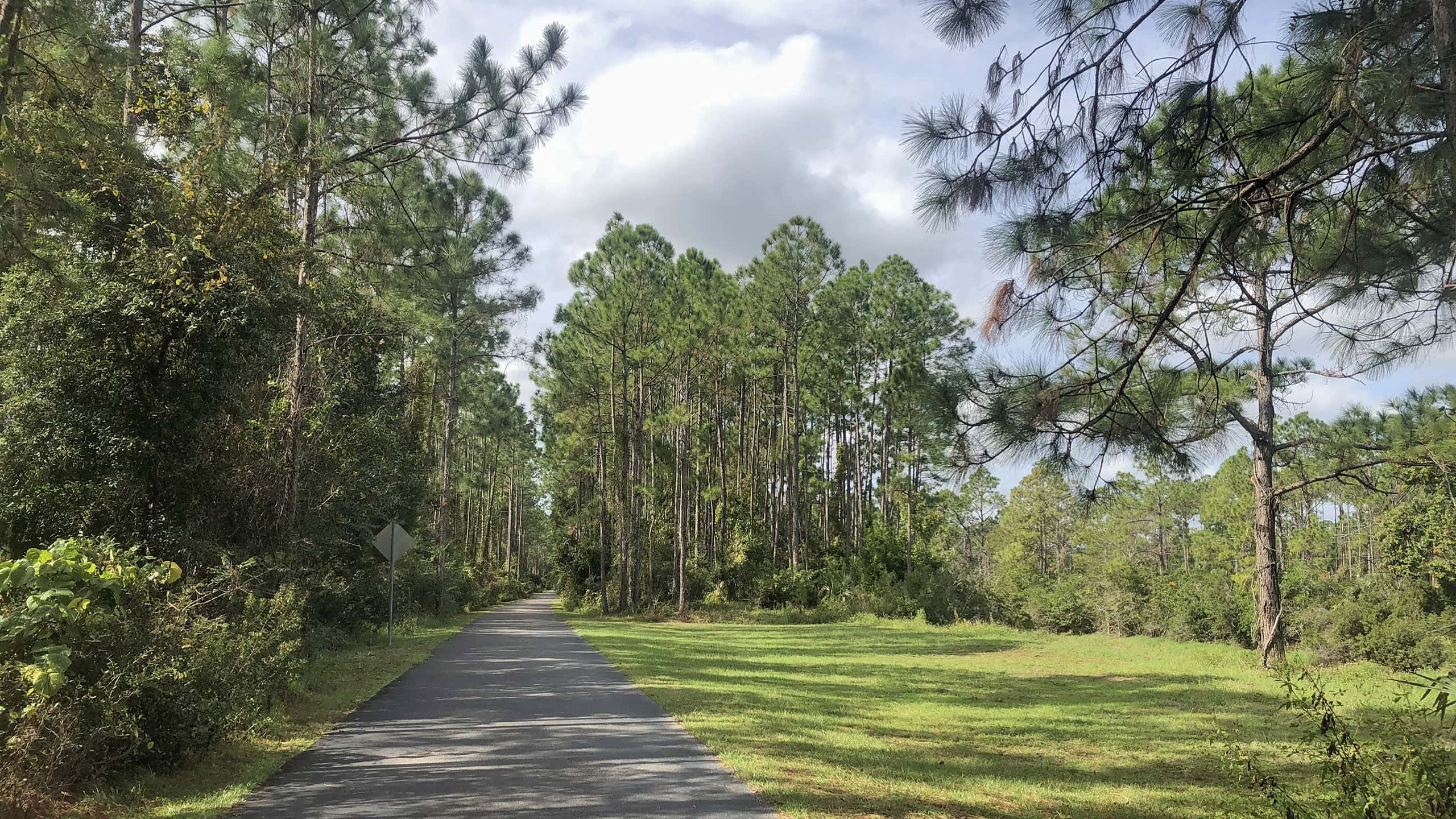
Paved bike path surrounded by pines and grassy slope Lehigh Trail A dedicated corridor insulates most of the 6.7 mile linear route of the paved Lehigh Trail within the surrounding expanse of Palm Coast, allowing up to a 13.4 mile trip.

Official Website

  • Author
  • Recent Posts
Sandra Friend & John Keatley
Articles jointly researched, written, and photographed by Sandra Friend & John Keatley, authors and publishers of FloridaHikes.com.
Sandra Friend & John Keatley
Latest posts by Sandra Friend & John Keatley (see all)
  • Hal Scott Red Trail - November 13, 2026
  • Baseline Trails - November 7, 2026
  • Hal Scott Yellow Trail - November 3, 2026
Category: County Parks, Day Hikes, Hikes, Loop Hikes, North Florida, Trails, Water Management AreasTag: Big Trees, Birding, Botanical, Dog-friendly, Fishing, Graham Swamp, Observation Decks, Palm Coast, Wildlife Viewing

Sidebar

FarOut Guides

Our comprehensive trail logistics presented on offline maps:

Florida National Scenic Trail (1,500 miles)
Florida Keys Overseas Heritage Trail (108 miles)
Eastern Continental Trail in Florida (92 miles)


We earn a small commission on sales through these links. Thanks for your support!


Our Guidebooks

We’ve written Florida guidebooks for over 25 years. These include North Florida destinations.

Book cover with woman hiking through palms with baby carrier
Book cover of Florida Trail Hikes
The Florida Trail Guide fifth edition
Explorer's Guide North Florida & The Panhandle guidebook

Explore More

Newest Articles for North Florida

Deep water-filled crevices Little Awesome Preserve
Longleaf pine forest LEAFS Preserve South
Paved bike path surrounded by pines and grassy slope Lehigh Trail
Aqua blaze on pine trunk next to footpath in flatwoods Dahoma Historic Trail

  • Facebook
  • Flickr
  • Instagram
  • Pinterest
  • Substack
  • Vimeo

FIND A TRAIL OR PARK

METROS: Bradenton. Clearwater. Crestview. Daytona Beach. Destin. Fort Lauderdale. Fort Myers. Fort Walton Beach. Gainesville. Jacksonville. Kissimmee. Lakeland. Melbourne. Miami. Naples. Ocala. Orlando. Panama City Beach. Pensacola. Port St. Lucie. Punta Gorda. St. Petersburg. Sanford. Sarasota. Sebring. Stuart. Tallahassee. Tampa. Vero Beach. West Palm Beach.

MULTI-REGION: Atlantic Coastal Ridge. Atlantic Coast. Bartram Trail. Big Bend. East Coast Greenway. Everglades National Park. Florida National Scenic Trail. Gulf Coast. Lake Wales Ridge. WATERWAYS: Indian River Lagoon. Intracoastal Waterway. Kissimmee River. St. Johns River. Withlacoochee River.

NORTHWEST FLORIDA: Altha. Apalachicola. Apalachicola National Forest. Big Bend Scenic Byway. Blackwater River State Forest. Blountstown. Bonifay. Bristol. Bruce. Cantonment. Cape San Blas. Carrabelle. Chattahoochee. Chipley. Crawfordville. DeFuniak Springs. Eastpoint. Ebro. Eglin Air Force Base. Freeport. Fountain. Gulf Breeze. Gulf Islands National Seashore. Holt. Madison. Marianna. Milton. Monticello. Mossy Head. Munson. Navarre. Navarre Beach. Newport. Niceville. Panacea. Panama City . Perdido Key. Ponce De Leon. Port St. Joe. Quincy. Santa Rosa Beach. Sopchoppy. South Walton. St. George Island. St. Marks. St. Marks NWR. Sumatra. Vernon. Wakulla. Wewahitchka. Woodville. WATERWAYS: Apalachicola River. Blackwater Bay. Blackwater River. Chipola River. Choctawhatchee Bay. Choctawhatchee River. Coastal Dune Lakes. Ochlockonee Bay. Perdido River. St. Marks River. Wacissa River. Wakulla River. Yellow River.

NORTH FLORIDA: Alachua. Amelia Island. Archer. Baldwin. Branford. Bronson. Bunnell. Callahan. Cedar Key. Chiefland. Crescent City. Cross City. Cross Creek. Dowling Park. Ellaville. Fanning Springs. Fernandina Beach. Flagler Beach. Fort White. Glen St. Mary. Green Cove Springs. Hawthorne. High Springs. Inglis. Jacksonville Beaches. Jacksonville Northshore. Jasper. Jennings. Keystone Heights. Lake Butler. Lake City. Live Oak.Macclenny. Mandarin. Mayo. Mayport. Micanopy. Middleburg. Old Town. Olustee. Orange Park. Osceola National Forest. Palatka. Palatka-Lake Butler Trail. Palm Coast. Palm Valley. Perry. Ponte Vedra. Rodman. Salt Springs. St. Augustine. Starke. Steinhatchee. Suwannee. Suwannee River Wilderness Trail. Suwannee Springs. Talbot Islands. Timucuan Preserve. Trenton. Waldo. Welaka. White Springs. Williston. Worthington Springs. Yankeetown. WATERWAYS: Santa Fe River. St. Marys River. Suwannee River. Tolomato River. Upper Withlacoochee River.

CENTRAL FLORIDA: Altamonte Springs. Apollo Beach. Apopka. Astatula. Astor. Auburndale. Bartow. Babson Park. Bayport. Belleview. Bithlo. Brandon. Brooksville. Bushnell. Canaveral National Seashore. Cassadaga. Christmas. Chuluota. Citrus Springs. Clearwater Beach. Clermont. Coast to Coast Trail. Cocoa. Cocoa Beach. Cross Florida Greenway. Crystal River. Dade City. De Leon Springs. DeBary. Deland. Deltona. Dunedin. Dunnellon. Edgewater. Enterprise. Eustis. Ferndale. Fort Meade. Frostproof. Geneva. Gibsonton. Haines City. Hernando. Hernando Beach. Holopaw. Homosassa. Inverness. Kenansville. Kissimmee. Lake Mary. Lake Wales. Largo. Leesburg. Lithia. Longwood. Lutz. Maitland. Malabar. McIntosh. Melbourne Beach. Merritt Island. Merritt Island NWR. Mims. Mount Dora. Narcoossee/Lake Nona. New Port Richey. New Smyrna Beach. Nobleton. Oak Hill. Oakland. Ocala National Forest. Ocklawaha. Ocoee. Oldsmar. Orange City. Ormond Beach. Osteen. Oviedo. Paisley. Palm Bay. Plant City. Poinciana. Polk City. Ponce Inlet. Port Orange. Ridge Manor. Riverview. Ruskin. Safety Harbor. Silver Springs. Sorrento. Spring Hill. St. Cloud. Tarpon Springs. Thonotosassa. Titusville . Umatilla. Viera. Walt Disney World. Weeki Wachee. Weirsdale. Wimauma. Windermere. Winter Garden. Winter Haven. Winter Park. Winter Springs. Withlacoochee State Forest. Withlacoochee State Trail. Yeehaw Junction. Zephyrhills. WATERWAYS: Alafia River. Halifax River. Hillsborough River. Lake Apopka. Little Manatee River. Ochlawaha River. Rainbow River. Tampa Bay. Wekiva River. Wekiva River Basin.

SOUTHWEST FLORIDA: Alva. Boca Grande. Cape Coral. Charlotte Harbor. Ding Darling NWR. Ellenton. Englewood. Estero. Immokalee. Marco Island. North Port. Osprey. Palma Sola. Palmetto. Pine Island. Port Charlotte. Sanibel Island. Venice. WATERWAYS: Caloosahatchee River. Manatee River. Myakka River. Pine Island Sound.

SOUTH FLORIDA: Arcadia. Basinger. Big Cypress National Preserve. Big Cypress Seminole Reservation. Big Cypress Swamp. Bowling Green. Clewiston. Everglades City. Indiantown. LaBelle. Lake Okeechobee Scenic Trail. Lake Placid. Lakeport. Moore Haven. Okeechobee. Ortona. Pahokee. Palmdale. Port Mayaca. South Bay. Wauchula. Zolfo Springs. WATERWAYS: Fisheating Creek. Lake Okeechobee. Peace River.

SOUTHEAST FLORIDA: Biscayne Bay. Biscayne National Park. Boca Raton. Boynton Beach. Coconut Creek. Coral Gables. Coral Springs. Davie. Delray Beach. Fellsmere. Flamingo. Fort Pierce. Hobe Sound. Hollywood. Homestead. Indrio. Jensen Beach. Juno Beach. Jupiter. Jupiter Farms. Key Biscayne. North Hutchison Island. Ocean to Lake Greenway. Palm Beach. Palm Beach Gardens. Pompano Beach. Redland. Sebastian. South Hutchinson Island. WATERWAYS: Florida Bay. St. Lucie River.

FLORIDA KEYS: Big Pine Key. Islamorada. Key Largo. Key West. Marathon. Overseas Heritage Trail.


©2006-2026, Sandra Friend & John Keatley | Disclosure | Site Index | Work with Us | Advertise with Us | Terms of Service and Privacy Policy

Florida Hikes PO Box 93 Mims FL 32754 | Contact
