
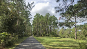
Following what was once a spur off the Florida East Coast Railroad, the Lehigh Trail begins on the eastern rim of Graham Swamp.
Extending due east across Palm Coast as a paved bike path, it ends 6.7 miles later at US 1 north of Bunnell.
 Eastern end of the Lehigh Trail
Unlike most rail-trails in residential areas, trailheads are few. In part, that’s thanks to the railroad corridor being largely within its own greenway.
Buffers of swamp and forest make for a walk or ride that feels “in the woods” while traversing this massive planned community.
 Trail bridge near the western end of the corridor
Resources



Disclosure: As authors and affiliates, we receive earnings when you buy through our links. This helps us provide public information on this website.
Overview
Location: Palm Coast
Length: Up to 13.4 miles round-trip
Trailhead: 29.50168, -81.15919
Address: 5875 Colbert Ln, Palm Coast
Fees: Free
Restroom: Both official trailheads
Land manager: Flagler County
Phone: 386-313-4020
Open 7 AM to 7 PM. Leashed dogs welcome. Be mindful of the many signs warning about alligators.
Adjoining Southern Recreation Center, the centrally located Belle Terre Trailhead has direct access to a dog park.
Trailheads
Colbert Trailhead, 5875 Colbert Ln
Old Kings Rd parking area, Old Kings Rd N of Town Center Blvd
Belle Terre Trailhead, 1350 Belle Terre Pkwy
About the Trail
Purchased from the Florida East Coast Railroad in 2001, this former rail spur off the mainline through Bunnell terminated at the Lehigh Portland Cement Company.
Remnants of that complex, which operated from 1952 to 1965, are across Colbert Lane from where the Lehigh Trail begins its traverse of Graham Swamp.
 Old trackage near a boardwalk
It took nearly a decade to complete this 12-foot-wide paved trail, developed mainly for residents across Palm Coast for biking and exercise.
Connections north and south with the Graham Swamp Trail open up extensive mileage for cyclists along the network of bike paths east of Interstate 95.
 Junction with the southern spur of the Graham Swamp Trail
From its east end, hikers can enjoy a 4.6 mile round-trip across the swamp on the boardwalks and causeway.
Expand on that up to 3.6 more miles with a round-trip south on the Graham Swamp Trail to its bridge over SR 100.
 Long boardwalk through Graham Swamp
Trail Details
Established by Flagler County, the Colbert Trailhead sits a little north of the Lehigh Trail, so a short connector on sidepath is necessary.
Leaving the parking area, a brown sign points the way south via the Graham Swamp Trail southbound adjoining Colbert Ln.
 Colbert Trailhead
At 0.2 miles, make a right at the brown “Lehigh Trail Route” sign, passing a bench and a map of the trail.
A wide wooden boardwalk slips under the shade of an oak to traverse a section of Graham Swamp.
 Boardwalk over Graham Swamp
At the curve where the boardwalk ends, a piece of the original railroad trackage sits on the left. Pass a bench.
A broad paved straightaway under a welcome canopy of oaks, the railroad corridor sits on a causeway above the swamp.
 On the causeway
Streamers of Spanish moss flutter in the breeze off the open swamp north of the live oaks along this strip of land.
Past another bench, exit the shade, paralleling power lines on the left and oaks on the right. Occasional concrete mileposts remain from the railroad days.
 Live oaks over the path
A road sign alerts you to a junction ahead. At 1.5 miles, meet the junction, where a southbound trail joins at a T.
This is a new southern extension of the Graham Swamp Trail, which continues south for 1.8 miles over boardwalks and causeways to a showy trail bridge over SR 100.
 Graham Swamp Trail junction
The forest on the right becomes denser, a palm hammock deeply shaded by the live oaks. Pines rise in a drier habitat on the left.
A clearing on the right invites inspection of the waterway beyond. It’s the Lehigh Canal, only occasionally visible but paralleling the length of this trail.
 The Lehigh Canal
Reach the traffic light at Old Kings Rd at 2.3 miles; use the pedestrian crossing to trigger a green. Now the path parallels Town Center Blvd
Pass under the Interstate 95 overpass. At the next traffic light, use the crosswalk to rejoin the railroad corridor westbound.
 First road crossing
A Lehigh Trail map and a bench mark the start of this next straightaway at 2.5 miles.
Beyond an electrical substation, the tree-lined corridor resumes, providing a mix of shade and sun.
 Pleasant corridor
Tall pines make up the ribbon of forest, a thicket of cabbage palms, shrubs, and the occasional cedar below them.
A stop sign warning sign provides a heads-up of the T intersection facing a bench and behind it, Belle Terre Pkwy, at 4.1 miles.
 Approaching the T
To the left, the paved path goes to the Belle Terre Trailhead. To continue along the Lehigh Trail, turn right.
Cross a bridge over the Lehigh Canal. Facing Royal Palms Pkwy, make a left to cross Belle Terre Pkwy at the traffic light.
 Bridge to busy intersection
Be very cautious of right turn traffic from both directions. Reaching the west side of Belle Terre Pkwy turn left.
The concrete path adjoins the highway bridge over the Lehigh Canal, a floodgate visible nearby.
 Crossing Belle Terre Pkwy
At the signposted entrance, turn right to start the final segment of the Lehigh Trail, passing a map and a bench.
A pleasant corridor buffered from the parkway and subdivisions by a swath of pines, it narrows to cross a bridge at 4.5 miles.
 Start of the final segment
Lined with rows of planted pines, the path isn’t quite a straightaway, making mild jogs along the way.
Cross the next bridge at 5.4 miles, a power line and easement perpendicular to its west side.
 Bridge
A bench sits beneath the shade of an oak soon after. Along this pine-lined passage, a trail junction comes up at 6.2 miles.
A spur to the south crosses a bridge over the Lehigh Canal to access a neighborhood bike path on the opposite side of Royal Palms Pkwy.
 Spur to neighborhood
Amid the planted pines, continue another half mile, a slight curve before US 1 revealing the four-lane highway ahead at 6.7 miles.
A repair station and map are at this finale of the trail, but no trailhead.
The trail curves northbound to end at the traffic light for Royal Palms Pkwy. Return the way you came for a 13.4 mile round-trip.
 Readying for the return ride at the western terminus
Mileage
0.0 Colbert Ln trailhead
0.2 Lehigh Trail begins
1.5 Jct Graham Swamp Trail southbound
2.3 Old Kings Rd
2.4 Interstate 95 overpass
2.5 Town Center Blvd crossover
2.8 Substation
4.1 Belle Terre Pkwy trailhead
4.1 Belle Terre Pkwy crossover
4.2 Resume Lehigh Trail
4.5 Canal bridge
5.4 Canal bridge
6.2 Spur to Royal Palms Pkwy
6.7 US 1
 Trail’s end at US 1 and Royal Palms Pkwy
Connections
Graham Swamp Trail
Extending north and south of the Lehigh Trail trailhead on Colbert Ln, the Graham Swamp Trail interconnects to a network of paved paths throughout Palm Coast.
Southbound, a 1.8 mile segment crosses boardwalks through Graham Swamp to reach a high bridge over SR 100.
 Southbound towards SR 100
Along SR 100, sidepath provides a ride eastbound towards a trailhead at Wadsworth Park, and towards Flagler Beach.
Northbound, it splits. Due north, it meets the St. Joe Walkway at Palm Coast Linear Park. Westward, it traverses boardwalks to Graham Swamp West Trailhead.
 Signage is clear at trail junctions
Before the split, a crosswalk leads to a connecting trail into Palm Coast Waterfront Park, enabling a loop at its north end using the St. Joe Walkway.
 Palm Coast Linear Park A city park, Linear Park is centrally located yet hidden within an ancient hardwood hammock bounded by the eastbound and westbound sides of Palm Coast Parkway.
 Graham Swamp West On a mile hike within sand pine scrub and a lush swamp forest, circle two placid blackwater ponds on the western side of Graham Swamp.
 Palm Coast Waterfront Park On bluffs along the west shore of the Intracoastal Waterway, a sunny ribbon of paved path provides scenic views on a 1.9-mile round trip connected to a larger loop of 3.7 miles.
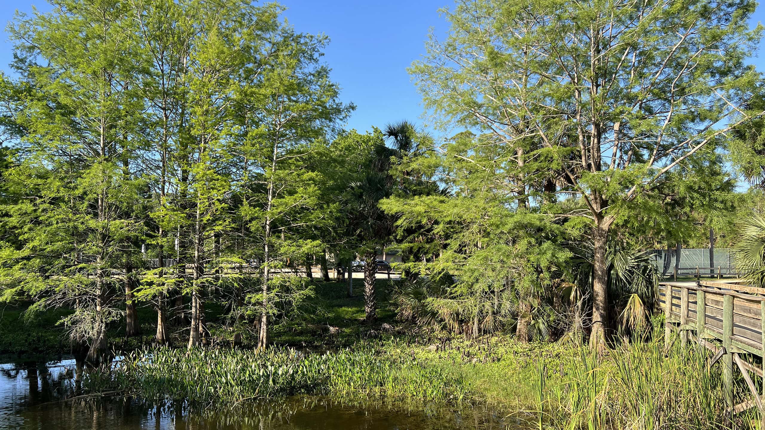 Wadsworth Park Edging a tidal creek flowing towards the Intracoastal Waterway, this recreational park has a showy boardwalk and a short walk through a coastal hammock.
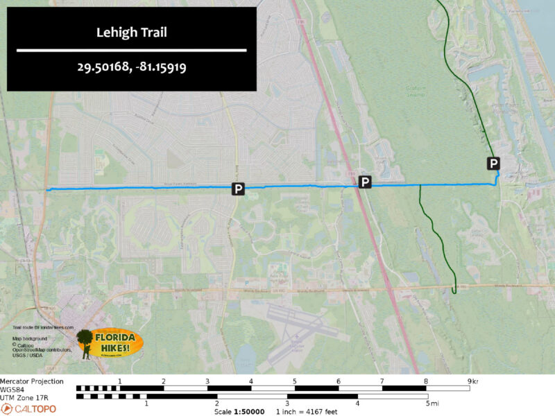
Trail Map
Explore More!
Slideshow
See our photos from the Lehigh Trail
Nearby Adventures
 Graham Swamp East Hiking Trail A surprisingly rugged hike along a ridgetop threads between two sides of a mountain bike loop on the eastern side of Graham Swamp Preserve.
 Betty Steflik Preserve Betty Steflik Memorial Preserve protects 320 acres of mangrove marsh, mud flats, and coastal uplands fronting downtown Flagler Beach.
 Mala Compra Greenway Loop a delightful slice of the dense old-growth coastal forest of Hammock using the East Coast Greenway and the Mala Compra Greenway Trail along A1A north of Marineland.
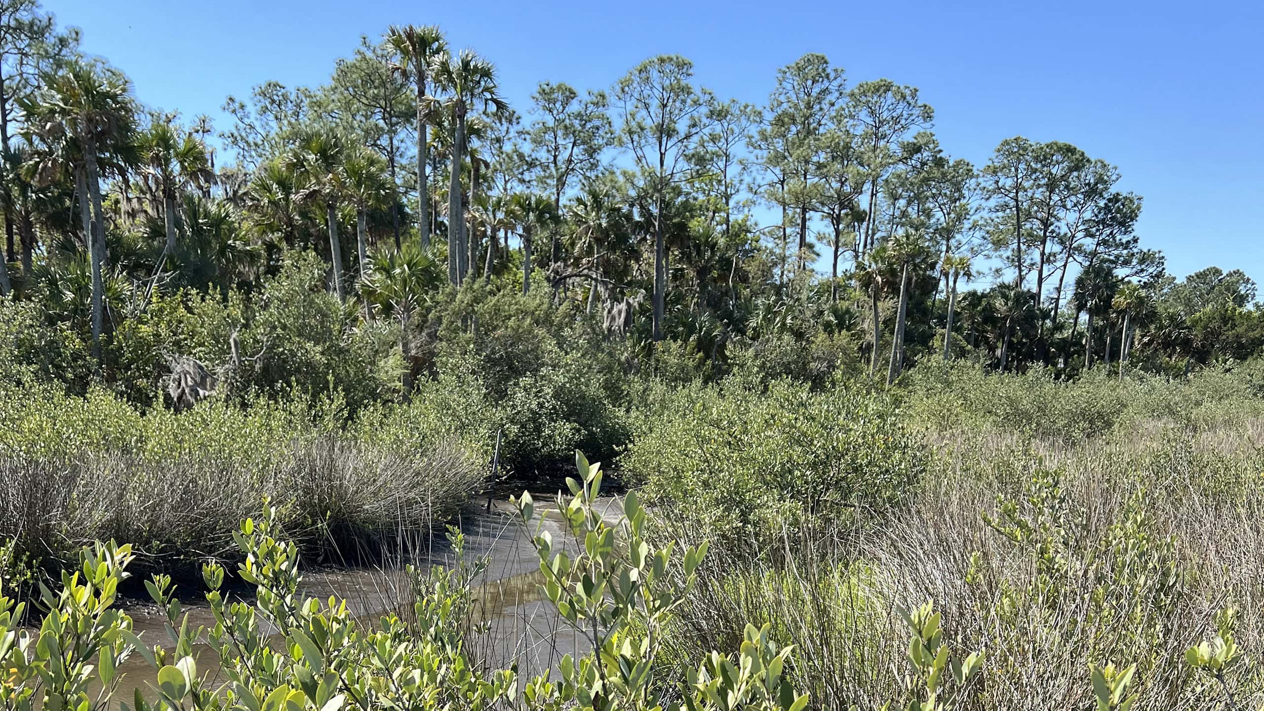 Long Creek Nature Preserve Spanning between College Waterway and Long Creek in Palm Coast, this nine acre nature preserve offers paddlers access to both as well as an accessible loop between the two.

- Hal Scott Yellow Trail - November 3, 2026
- Hal Scott Preserve - October 28, 2026
- Tradewinds Park - October 27, 2026