

Hillsides, swamps, and ravines are all a part of the Lake Trail, one of two loops within the Lake Overstreet Addition at Alfred B. Maclay Gardens State Park.
Drawing close enough to the Maclay Home that you can see the house through the trees, it follows well-worn tracks that feel like wagon roads.
 Glimpse of Lake Overstreet
To tackle it on its own, start from the Lake Overstreet Trails trailhead near the gardens. This approach trail enables a 4 mile hike, 3.4 miles of which loops the lake.
You can also pair this hike with the Ravine Trail, a much flatter loop to the west, to expand the hike to 6.1 miles.
 The two trails meet 0.8 miles clockwise from the trailhead
Resources


Disclosure: As authors and affiliates, we receive earnings when you buy through our links. This helps us provide public information on this website.
Overview
Location: Tallahassee
Length: 4 miles
Trailhead: 30.52139, -84.26101
Address: 3540 Thomasville Rd, Tallahassee
Fees: $4-6 entrance fee at gate
Restroom: Portable toilet
Land Manager: Florida State Parks
Phone: 850-487-4556
Open 8 AM to sunset. Leashed dogs welcome; pick up after your pet.
Directions
From Interstate 10 exit 203, head north on Thomasville Rd (US 319) to a left on Maclay Rd. For the trailhead within the gardens, turn in at the park entrance. After paying the entrance fee, follow the park road through the parking area for the gardens to its very end to a dirt road leading to the Lake Overstreet Trails trailhead.
Hike
Begin at the primary trailhead for the Lake Overstreet Trails next to the map posted by the fence.
Take a photo of the map for orientation but ignore the understated mileage.
Blue blazes lead through a upland forest of mixed oaks, southern magnolia, American beech, and a stand of loblolly pine.
 Lake Overstreet Addition trailhead
One immense spruce pine towers overhead. Massive grapevines dangle from the canopy.
Emerge onto a dirt road under a power line, the junction with the singletrack South Bike Extension for mountain bikers.
 Powerline junction
Next to a trail map sign, an arrow points right. Follow this straight-line road through the woods, the blazes on the trees now red.
After a mild curve, meet an important trail junction at 0.3 miles, Kiosk #2 (Bridge Kiosk).
 Kiosk #2 junction
It offers information on archaeology and marks the south end of the 3.4 mile Lake Trail loop. Turn right to hike it counterclockwise.
Canopied by the upland forest, the broad path gains elevation slowly as it passes beneath massive live oaks.
 Start of the Lake Trail
Less than a tenth of a mile from the junction, the sole potable water source along the trail system has a lower basin for dogs.
It was made possible by volunteer organizations and its proximity to the garden grounds, visible through the woods in winter.
 Water fountain
Flanked by oaks and pines with sizable trunks, the footpath stays within sight of the grassy lawn and buildings at the Maclay House for a stretch.
The character of the trail shifts to what feels like an old wagon road leaving the homestead.
 Straightaway
Immersion in the upland forest follows, sunlight making the leaves of the magnolias glisten.
Approaching a significant curve to the trail around 0.8 miles, open skies beyond the trees hint at Lake Overstreet beyond.
 Gnome Oak
Signs flank the entrance to a picnic spot within sight of the lake. An ancient live oak is its centerpiece. As promised by the signs, it’s a gnome home.
Past this turnoff, the trail begins paralleling the lakeshore within sight of it, reaching an observation deck and Kiosk #5 (Overlook Kiosk)
 Kiosk #5 turnoff
At a mile, built-in benches on the deck provide a perfect panorama of open water and near marshes for birding.
For hikers who don’t want to commit to the full loop, this scenic overlook makes a good turn-around point for a 2 mile hike.
 Lake view from deck
Passing a bench, the pathway mirrors the curves of the lakeshore, slowly descending. Its erosion into the landscape gives a clue to its age.
In the 1800s, wagon roads connected the plantations surrounding young Tallahassee with each other and nearby towns like Thomasville, Havana, and Bainbridge.
 Well-trodden path
Meet the junction with the High Grove Trail at 1.3 miles. The spur to the right leads to a walk-in trailhead from a neighborhood adjoining the state park.
If you haven’t encountered cyclists on the Lake Trail thus far, expect to start seeing them along the next half mile of trail.
 High Grove Trail junction
Curving as it descends for the next quarter mile, the pathway enters a low spot where it’s reinforced with gravel.
A perched marsh to the right occasionally tips its overflow into this basin to drain into Lake Overstreet.
 Low spot with marsh
Ascend to higher ground, the surroundings more open along the next straightaway.
Peeled back by a past tornado, part of the canopy is gone, the remaining trees ragged.
Drenched in sunlight, opportunistic young trees compete in a thicket choking the understory.
 Sunny stretch
At 1.8 miles, the trail curves sharply left, away from the service road straightaways flanking the corner of a boundary fence.
Soon after, a map and green post mark the junction for the North Bike Extension, the eastern access point to the singletrack trail system.
 Curving to the north side of the lake
Continue downhill, the lake a blue streak on the left through a screen of forest. After a slight curve, open water is visible through a gap in the forest.
A bench provides a welcome rest stop in mottled shade at 2 miles. At this halfway point, take that opportunity, since the trail soon leaves its gentle nature behind.
 Descent to a bench
Begin a gradual ascent. As the path climbs and curves through the upland forest, steeper grades become the norm.
The promised picnic area with restroom shown on the map is to the left at 2.6 miles. A picnic shelter adjoins a composting toilet. Frustratingly, its door was locked.
 Hillside nearing the picnic area
Follow a deeply eroded grade downhill for a far nicer rest spot, a bench near a picnic bench under the shade of a large live oak.
Near the shoreline of Lake Overstreet, the clearing has signage for a horse corral but there’s only a split rail fence to tie up on.
 Path to lakefront picnic table
The remains of what might have been an observation deck jut over the water. Scan for alligators before stepping to the edge.
This marshy shoreline offers the best view yet of the expanse of the lake and the final one of the hike.
 Lake Overstreet at the picnic area
Climb the eroded hillside, passing the picnic pavilion to rejoin the Lake Trail. The uphill trend continues.
The path becomes broader, curving into an approach to a trailside archaeological site, fenced off but not yet interpreted.
 Archaeological site
Inside are the ruins of what appears to have once been a dogtrot home including footers for the building and a fallen chimney.
This old road passes through a high tension power line easement immediately afterwards. Look left to spot an eagles’ nest atop one of the towers.
 Powerline easement with eagle nest on second pole
From this high point, the pathway descends rapidly, plummeting between deeply eroded roadcuts in the clay.
At the base of this steep hill, Kiosk #4 stands in front of Gum Pond, a marshy pond in a deep depression.
 Gum Pond
Fed by the outflow of the steephead along the Ravine Trail, it in turn flows into Lake Overstreet.
A strenuous climb out of the basin meets a major trail junction at 3.2 miles marked by Kiosk #3. Straight ahead is the connector to the Ravine Trail loop.
 Trail junction
To stay on the Lake Trail, turn left, walking through a reverse Y intersection where the connector also merges into the Lake Trail counterclockwise.
Bared patches of clay appear more often in the path, caused by the movement of pine needles and leaf litter after rains.
 Broad clay path
Tall, skinny loblolly pines dominate an understory of laurel oaks. Perhaps this patch of forest was logged within the past half century.
A quarter mile past the junction, what looks like the scoop from an old steamshovel rests against the fat base of an oak.
 Steamshovel scoop
Aiming down a long straightaway eroded through the woods, the feel of the trail resumes that of an old wagon road.
Ascend at a steady grade to another crossing beneath the high tension power lines.
 Descent to power line easement
Descending from this open green space, cross a very old wooden bridge over a narrow but deep ephemeral stream flowing towards the lake.
At the Bridge Kiosk, arrive at the south end of the loop after 3.7 miles, your entry and exit point.
 Bridge at the Bridge Kiosk
Turn right past the kiosk and retrace the well-worn path through the woods to the bike path junction.
Make a left on the blue blazes. Return to the trailhead on the winding path under the tall pines, completing a 4 mile hike.
 Exit through the pines
Trail Map

Explore More!
Learn more about Alfred B. Maclay Gardens
 Alfred B. Maclay Gardens State Park Explore a true Tallahassee treasure on gentle garden paths amid plantings dating back to 1923 or along well-trodden trails into wild woodlands along Lake Hall and Lake Overstreet.
 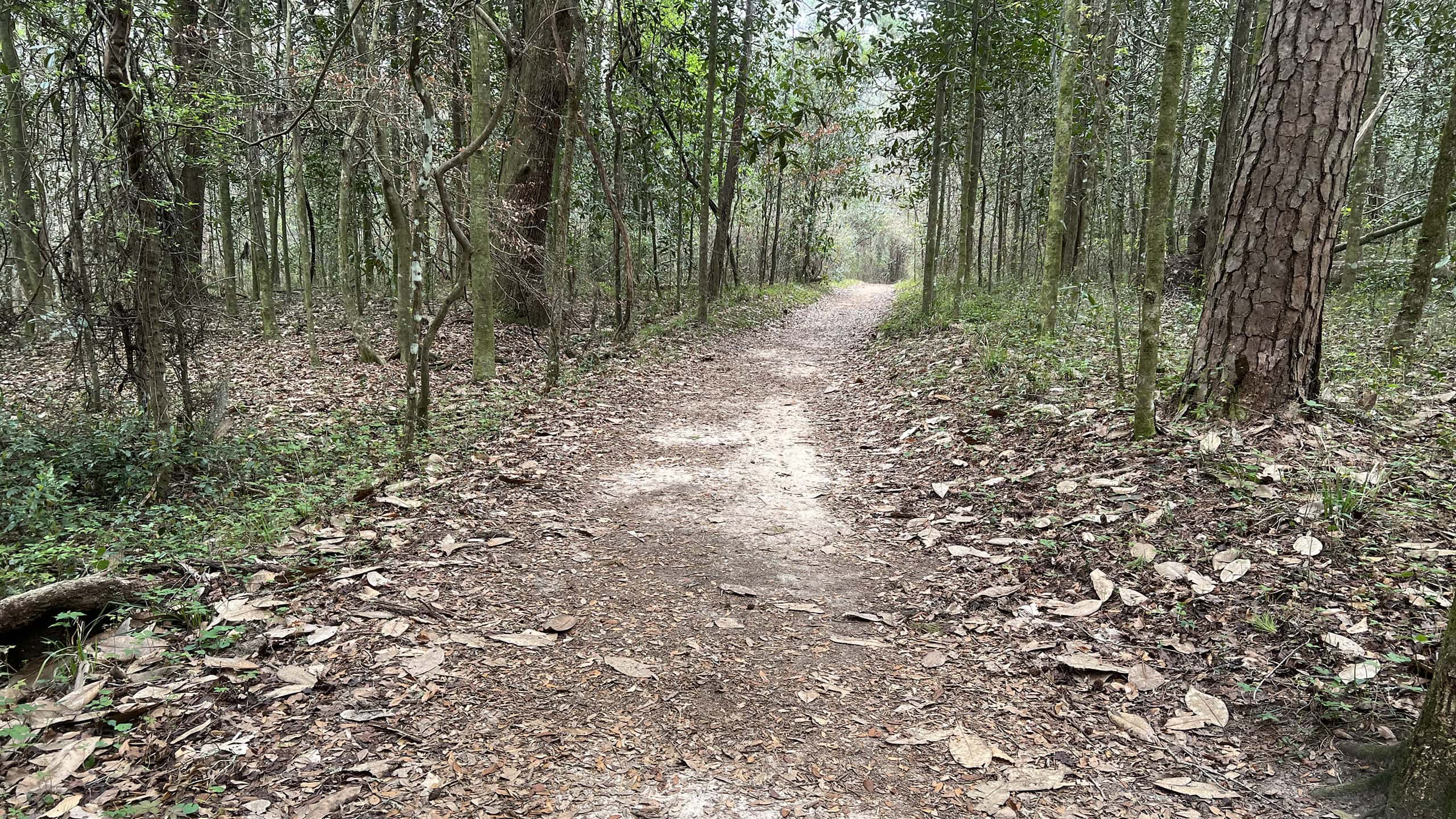 Maclay Gardens Ravine Trail Under a mature canopy of hardwood forest, the mostly-level Ravine Trail at MacLay Gardens Lake Overstreet Addition makes an easy 2.2 mile hike with stunning seasonal wildflowers.
 Video
Hiking the Lake Trail
Slideshow
See our photos from the Lake Trail
Nearby Adventures
 Elinor Klapp-Phipps Park A hiker's paradise in Tallahassee, Elinor Klapp-Phipps Park offers miles of trails exploring contoured terrain and winding streams under a tall, shady canopy of majestic trees.
  Fort Braden Trails Showcasing bluff forests and deep ravines above Lake Talquin, the Fort Braden Trails at Lake Talquin State Forest offer enough hiking along a tiered trio of trails for a weekend in the woods.
 Lafayette Heritage Trail Park Hike, bike, paddle, or fish along the well-marked trails of Lafayette Heritage Trail Park in a deeply wooded landscape east of downtown Tallahassee.
 Silver Lake Trail A popular spot in the Apalachicola National Forest near Tallahassee, Silver Lake Recreation Area offers a quiet hiking-only loop around glassy waters lined with stately cypress trees.
- Paynes Creek Peace River Trail - April 12, 2026
- Werner-Boyce Scenic Trail - April 10, 2026
- Maclay Gardens Ravine Trail - April 5, 2026