
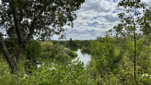
Once the site of an extensive phosphate mining operation, the land that became Tenoroc Public Use Area was turned over to the state in 1982.
The property takes its name from a backwards spelling of Coronet, a company that began mining the area in the early 1900s.
 Mine pond
Over time, the diggings filled with water and a new forest grew from the upturned soils.
Today, this popular public land provides opportunities for fishing, birding, paddling, hiking, horseback riding, and shooting sports.
 Birding spot
The Heartland Chapter of the Florida Trail Association maintains hiking trails throughout the property, designated with different colored blazes.
In addition to a large 8.9 mile loop combining all three trails, the Blue Trail forms a smaller loop, and the Red Trail continues south, connecting to adjacent Saddle Creek Park.
 Trail signage
Resources





Disclosure: As authors and affiliates, we receive earnings when you buy through our links. This helps us provide public information on this website.
Overview
Location: Lakeland
Length: 8.9 miles
Trailhead: 28.107333, -81.865139
Address: 3755 Tenoroc Mine Road, Lakeland
Fees: $3 per person
Restrooms: At the trailhead
Land manager: Florida Fish and Wildlife Commission
Phone: 863-606-0093
Open Fri – Mon 6 AM to 8 PM Daylight Saving Time, and 6 AM to 7 PM Eastern Standard Time.
Leashed dogs welcome. Hog hunting is allowed on select dates, check ahead before you make plans for outdoor recreation.
Directions
From Interstate 4 northeast of Lakeland, head south on SR 33 for 1.5 miles before turning left onto CR 33A. In 1.3 miles, make a left onto Tenoroc Mine Rd. Continue for 1.4 miles, then turn right at the entrance station to pay the entrance fee. Drive down the main road for 1.3 miles, then turn left at the Picnic Lake day use area parking lot.
Hike
Starting at the Picnic Lake parking area, walk to the boat ramp and look for a post with blue, yellow, and red blazes.
On top of the post, a metal box contains a laminated map of the trail system.
Cross a short bridge and follow the tri-colored blazes for a quarter mile before crossing a dirt road to reach the main loop.
 Map box at the trailhead
Turn left at this junction, descending towards a wooden bridge with a steep climb on the other side.
The trail takes a sharp left turn at the top, tracing the steep rim of a mine pit lake.
Gaps in dense vegetation lining the trail reveal glimpses of the water many feet below.
 High above the mine pit
At 1.3 miles, the Blue Trail branches off to the north before circling back to the trailhead.
Red and yellow blazes continue east as the path leaves an artificial ridge, winding down sloping terrain while entering a mix of mesic hammock and planted pine forest.
 Red and Yellow Trail
Emerging from the densely wooded corner of the loop at 2.5 miles, a grassy corridor leads into one of the most natural habitats on the property.
Sand live oaks and turkey oaks dot an open landscape of palmettos, wiregrass, and wildflowers in a sandhill community oddly devoid of pine trees.
 Wildflowers in the sandhills
Pines appear again at the edge of a successional hardwood forest, shortly before reaching an important trail junction.
Turn left at 3 miles, following a wide two-track around the eastern edge of a large mine pond.
At 4.2 miles, take another left where a yellow blazed pole indicates a turn to the south.
 Fishing pond
The southern stretch of the loop follows a deeply shaded, raised road flanked by ferns and wild coffee.
As the trail begins to parallel another mine lake, well-placed benches provide spots to rest while watching for migrating and resident birds.
 Wild coffee
A double yellow blaze indicates a turn off the road, where the trail crosses a ditch on Eileen’s Bridge before joining the Red Trail once again.
Turn right, following a narrow hiking-only corridor northward. The trail weaves across uneven terrain for the next 1.5 miles.
It traverses a forest that has grown from land that was scraped for phosphate many years ago.
 Eileen’s Bridge
Oaks give way to pines again at 7.5 miles, where the final stretch crosses relict pine flatwoods before closing the loop.
From this point, follow the approach trail for a quarter mile back to the trailhead.
 Pine forest
Trail Map

Explore More!
Video
Hiking Tenoroc
Nearby Adventures
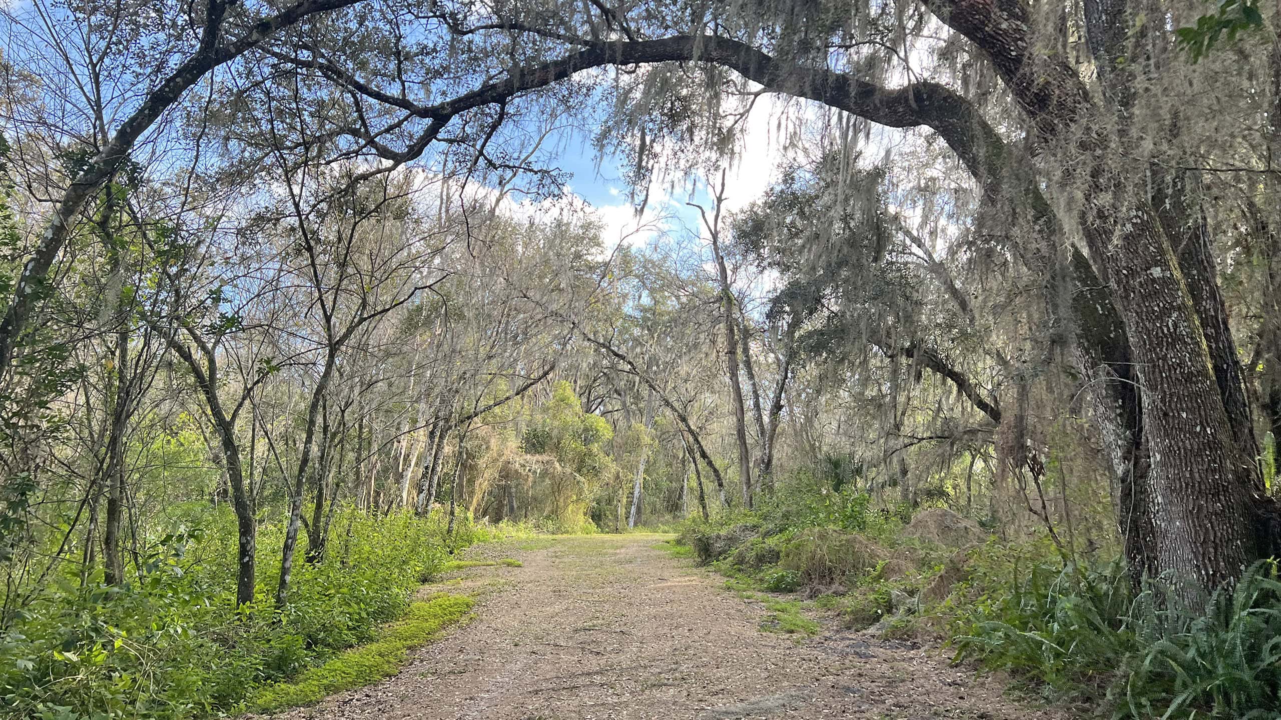 Saddle Creek Park East of downtown Lakeland, this urban county park makes use of old mine pits as lakes, with a campground and a 2.5 mile birding trail providing occasional panoramas.
 Circle B Bar Reserve For fabulous birding and more alligators than you can count, roam the marshy edge of Lake Hancock on miles of causeways through Circle B Bar Reserve in Lakeland
 Gator Creek Reserve A dip into a corner of the Green Swamp, Gator Creek Preserve north of Lakeland offers over 3 miles of easy loop trails for the whole family to explore.
 Green Swamp East Weekend Loop Connect the Florida Trail with a side loop through vast pine savannas, floodplain swamps, and cypress domes for a 15.5 mile loop to camp at Tillman Hammock in Green Swamp East.

- Kelly Park - November 18, 2026
- Wekiwa Springs Hiking Trail - November 17, 2026
- Black Lake Preserve - November 15, 2026