

While most visitors are here to fish or launch into the Apalachicola River near its source, Chattahoochee River Landing Park is notable for its archaeological site and its history.
A significant earthworks, a historic highway, and the location of an 1799 observatory are among the historic features explained on the many interpretive panels within the park.
 The park is an Apalachicola River Heritage Destination
Resources



Disclosure: As authors and affiliates, we receive earnings when you buy these through our links. This helps us provide public information on this website.
Overview
Trailhead: 30.69904, -84.856655
Address: 269 River Landing Road
Fees: Free
Restroom: At the picnic area
Land manager: City of Chattahoochee
Phone: 850-663-4475
Leashed dogs welcome. Registered campers only at the campground, which occupies a terraced area above the floodplain. Park restrooms were in sorry shape in summer 2023.

Directions
From downtown Chattahoochee, drive west on US 90. Watch for the turnoff for the Chattahoochee River Park and campground on the left. Follow the road downhill towards the river. Park either by the picnic area, pier, or playground.
About the Park
With an extensive natural shoreline along the Apalachicola River, Chattahoochee River Landing Park offers anglers a place to drop a line in from the riverbank or the floating dock.
The park entrance road leads directly to a boat ramp, the first one immediately south of the Woodruff Dam, which is visible upriver.
 Picnic table above the boat ramp and dock
This is where the Apalachicola River begins. Formed where the Flint and Chattahoochee Rivers meet, their confluence has been trapped behind the hydroelectric dam since 1957.
Behind the dam is Lake Seminole, popular for sport fishing. But back when that long bridge paralleling the entrance road was built, the rivers merged together naturally.
 Woodruff Dam above the two bridges
Completed in 1922, the Victory Bridge was an architectural marvel of its time and the first-ever highway span across the Apalachicola River.
Standing the test of time despite being intentionally dismantled mid-river when the US 90 bridge was built, it dominates the north side of the park.
 Floodwater marks on the Victory Bridge
Interpretive markers for the Victory Bridge and other sites of historic importance are peppered throughout the park. Most notable is the Chattahoochee Landing Mound.
Several state historic markers also commemorate this significant earthworks constructed over a thousand years ago by native peoples.
 Chattahoochee Landing Mound
A spur off the entrance road leads downriver, ending at a gate with private property to the south. Large live oaks cap the bluffs.
A parking area for a playground and the trailhead built for the Chattahoochee Nature Trails are along this road south of the earthworks.
 Playground and trailhead parking
Hiking
In May 2012, we announced the grand opening of the Chattahoochee Nature Trails, which combined boardwalk, improved footpath, and natural surface trails.
At the time, the design won an award from American Trails. However, we found the trailhead, which adjoins a spiffy new playground, roped off with caution tape in summer 2023.
The boardwalk has rotted through. Given the park is in the Apalachicola River floodplain, it’s unlikely it will be rebuilt.
Based on the kiosk map, we scouted for other access points to the trails but could find none blazed or signposted. For now, we have to consider trail access abandoned.
Visit Angus Gholson Nature Park at the top of the bluff instead to take a hike.
 Angus Gholson Nature Park Above the Apalachicola River, the community of Chattahoochee hides a natural treasure in its deep ravines—a park named for its native son, botanist Angus Gholson.
Camping
Along the entrance road into Chattahoochee River Landing Park, Chattahoochee RV Campground has RV sites with full service hookups with 50 amp service.
RV sites cost $35 per night or $175 a week. Tent sites are $10 per day. Pets welcome. A bathhouse is provided.
To make a reservation or ask questions, call 850-212-8365 or email camphost@chattahoocheefl.gov
 RV on a lower terrace of the campground
Paddling
Chattahoochee River Landing Park is the northernmost launch for the Apalachicola River Blueway, a designated state paddling route.
The 107-mile river is edged by tall bluffs at its northern end, floodplain forests in its middle, and estuary as it draws close to the city of Apalachicola.
Paddlers use established campgrounds and riverside campsites. Apalachicola Riverkeeper provides a data book and maps, and runs an annual paddle trip called the RiverTrek.
 Floating dock adjoining the boat ramp
Explore More!
Slideshow
See our photos of Chattahoochee River Landing Park
Nearby Adventures
More worth exploring while you’re in this area.
 Torreya State Park Perched on bluffs above the Apalachicola River, Torreya State Park is one of Florida’s first state parks, developed by the Civilian Conservation Corps in the 1930s
 Garden of Eden Trail Try one of Florida's toughest day hikes on for size: local legend has it this was the Garden of Eden, and from the lush forests and rare flora along this trek, they might be on to something.
 Three Rivers State Park Hugging the state line with Georgia at Lake Seminole, where the Flint and Chattahoochee Rivers form the Apalachicola, Three Rivers State Park offers hiking on hilly slopes.
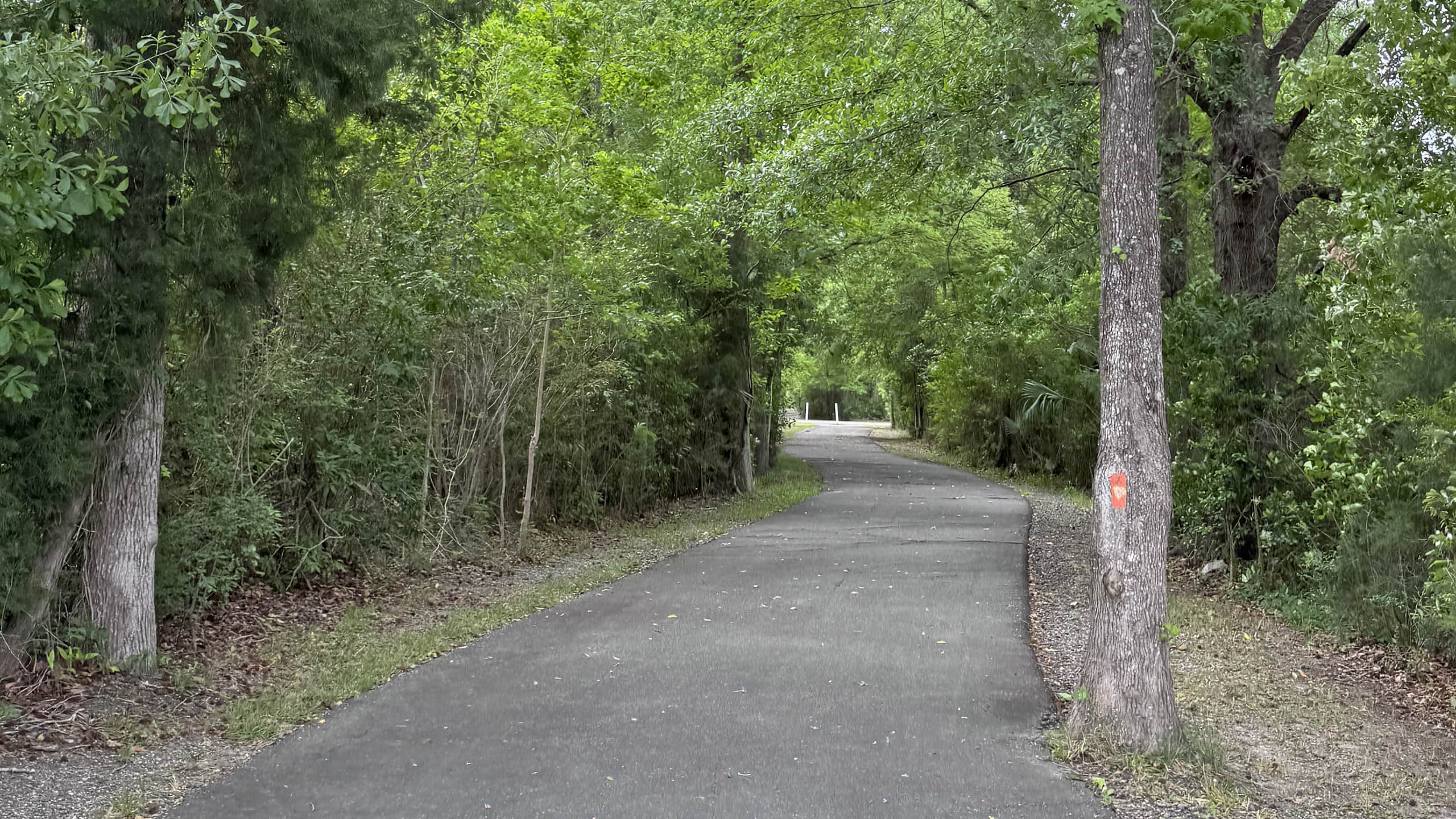 Blountstown Greenway Connecting neighborhoods, parks, and services within a historic Apalachicola River town, the 3.4 mile linear Blountstown Greenway incorporates a segment of the Florida Trail.

- Hal Scott Yellow Trail - November 3, 2026
- Hal Scott Preserve - October 28, 2026
- Tradewinds Park - October 27, 2026