

99.5 miles. Working its way to a sweep of public lands making up the Northwest Florida Greenway, considered one of America’s top biodiversity hot spots, the Florida Trail heads west from the Apalachicola River into the Central Time Zone.
West of the paved Blountstown Greenway, it uses connecting roadwalks to tack together footpaths in the Chipola River Greenway, Econfina Creek Water Management Area, Pine Log State Forest, and the privately owned Nokuse Plantation.
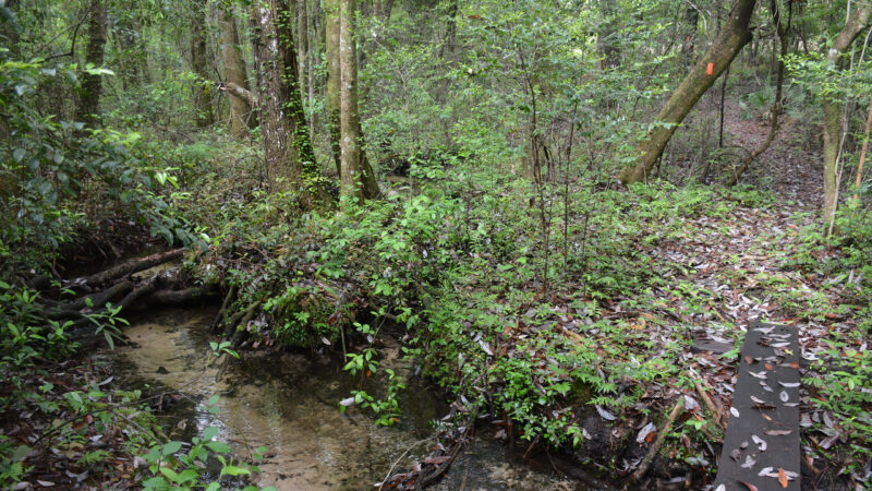
En route, marvel at the “Look and Tremble” rapids of the Chipola River and waterfalls and springs pouring into Econfina Creek. Explore steephead ravines and rolling sandhills whenever the trail makes its way onto public lands.
Our Florida Trail Books & Guides


Disclosure: As authors and affiliates, we receive earnings when you buy through our links. This helps us provide public information on this website.
Trip Planning
Camping and Lodging
This section is tricky logistically because there are long roadwalks between public lands with designated campsites. Westbound from the Apalachicola River bridge, you walk past the unassuming Airport Motel before reaching other services in Blountstown.
Beyond the end of a spur trail off the Blountstown Greenway, the Panhandle Pioneer Settlement has permitted long distance hikers to pitch a tent. This living history center is run by volunteers and they can always use an extra hand. Call ahead and be sure to stop in their office for instructions on where you can camp.
Centrally located on the Chipola West roadwalk between Altha and Econfina, Hillcrest Baptist Church welcomes hikers with a small hostel and camping on site as part of their ministry.
At Econfina Creek WMA, camping at recreation area sites requires a free permit in advance from Northwest Florida Water Management District. The trail also has backcountry campsites that do not require a permit.
There are two designated campsites at Pine Log State Forest, plus a nicely appointed campground with bathhouse. On the west bank of the Choctawhatchee River, Walton County maintains a first-come first-served set of three camping shelters at Cowford Landing.
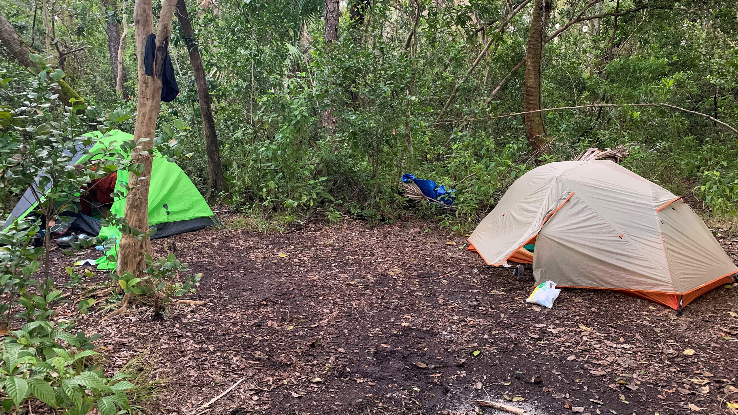
The Nokuse section caps off the Central Panhandle section at its western end with four designated campsites. Random camping is not permitted as it is private land.

Dogs
We are unaware of any restrictions on dogs along this section but they may not be welcome at lodgings. Keep in mind the roadwalks are tough on dogs, too.
Wildlife
Nokuse means “bear” in the Creek language. Hikers have spotted Florida black bears there as well as at Econfina Creek WMA and Pine Log. Use precautions for your food storage.
White-tailed deer are common. An uncommon species, fox squirrels may be seen in sandhill habitats. They are larger than a gray squirrel and chestnut brown to black.
Water
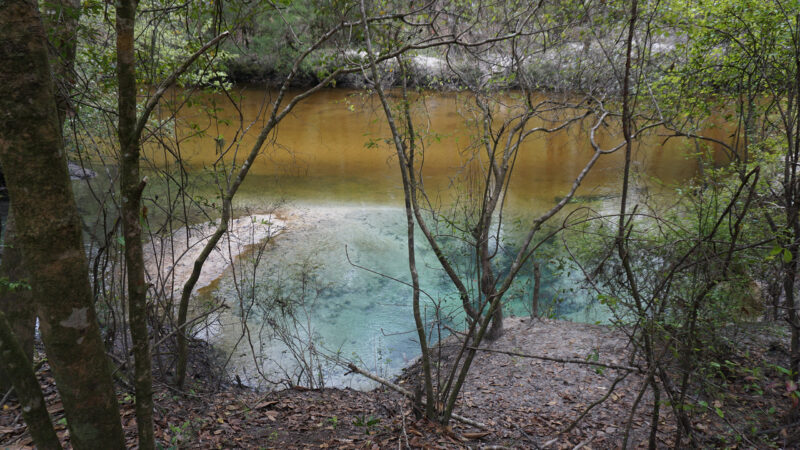
Access to water is mainly a problem along the roadwalks because of minimal to no services along rural roads. Our app points out water sources along the way. The Econfina Creek section has some excellent springs.
Resupply
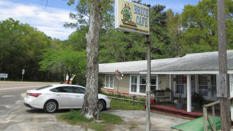
Stock up at a full service grocery when you start this section northbound from Blountstown. A Dollar General is near the US 231 crossing east of Econfina WMA, and another is in Ebro. One lone convenience store is a third of the way along the roadwalk from Econfina to Pine Log.
Parking & Shuttle
See our mileage chart for trailhead locations. Shuttles can be difficult in this region due to the distances involved between rural towns. Long distance hikers should join the Florida Trail Hikers Facebook group to request assistance. Be sure to compensate any shuttle volunteers for their gas and time.
Safety
Flooding
Flooding is frequently a problem in this region, as the trail enters several major floodplains. If you run into flowing water anywhere, turn around. Check water levels for the following waterways before tackling the following pieces of trail:
Chipola River WMA (Altha)
Econfina Creek WMA
Choctawhatchee River Section Nokuse
Lafayette Creek in Nokuse is notorious for overflowing its banks and is very dangerous when it does so. If you discover that basin flooded when you reach it, use the blue-blazed high water trail along the power lines to avoid the hike along the creek.

Hunting
Seasonal hunting occurs at Chipola River WMA, Econfina Creek WMA, Pine Log State Forest, and within Nokuse where the trail enters Choctawhatchee River WMA and Lafayette Creek WMA for brief stretches where the designated campsites are located.
Wear a bright orange shirt or vest during hunting seasons. Check the Florida Fish & Wildlife Conservation Commission website for the current year’s hunting seasons. They vary from year to year.
During general gun season (fall deer hunting), hikers may only camp at Sand Pond Campground (fee) in Pine Log State Forest.
Roadwalks
Although the roadwalks are lengthy along this section, you can often walk parallel to the highway on tracks laid down by utility trucks and ATVs.
Wear a bright shirt or safety vest so motorists see you. Walk against traffic. Be especially cautious crossing narrow highway bridges as large trucks barrel down these rural roads.
In cases where a sharp “no” doesn’t work with a loose dog, it doesn’t hurt to have pepper spray as a backup.
People
This is a rural farming and logging region that was economically devastated by Hurricane Michael in 2017. Expect some wrecked and abandoned buildings.
The people you meet are generally friendly and curious about your journey. Random acts of kindness sometimes surprise and delight hikers along this section. However, heed all “No Trespassing” signs. They mean it.
Trail Map

Mileages
Key mile markers south to north. For more detail including campsites see trail segments below or consult our guides or app.
0.0 – Apalachicola River highway bridge
2.9 – Depot Park BLOUNTSTOWN
4.3 – SR 71 trailhead
12.4 – Altha Trail, Upper Chipola WMA
13.3 – Look and Tremble Rapids
14.2 – Willis Bridge Park
15.8 – Shelton Park (0.2W)
20.3 – Hillcrest Baptist Church
31.0 – Scott Rd trailhead, Econfina WMA
38.8 – The Bluffs
39.9 – Devils Hole Recreation Area +*
40.9 – Walsingham Park (0.2W) +*
41.7 – Econfina Bluffs
50.0 – SR 20 trailhead Econfina WMA
64.3 – Pine Log State Forest boundary
68.3 – SR 79 bridge and underpass
68.6 – junction Dutch & Faye Trail
69.1 – junction Campground Trail
69.3 – Sand Pond Rec Area and Campground + $$
70.0 – Pine Log State Forest boundary
71.9 – Choctawhatchee River highway bridge
72.3 – Nokuse section begins
80.5 – Seven Runs trailhead (0.2E)
90.2 – Lafayette Creek trailhead (0.1W)
99.5 – Owls Head trailhead (0.1 N)
$$ fee charged. + designated campsite. * permit needed.
Trail Segments
Details about all segments of the Florida Trail in this section are in The Florida Trail Guide and app. The hikes below include some of our favorites for this section.
Each is described from the perspective of a day hiker, noting landmarks, water, and campsites along the way. Not all are oriented from south to north, but this is the order they are in northbound.
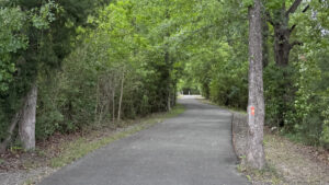 Blountstown Greenway Connecting neighborhoods, parks, and services within a historic Apalachicola River town, the 3.4 mile linear Blountstown Greenway incorporates a segment of the Florida Trail.
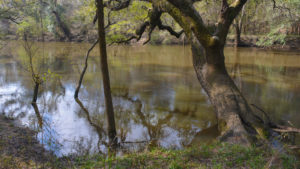 Florida Trail, Altha 1.7 miles. Following Bauldree Branch to the bluffs of the Chipola River, the Altha section of the Florida Trail is a fabulous destination for spring wildflowers.
 Florida Trail, Econfina Creek 18.4 miles. Winding along rolling hillsides north of Panama City, the Econfina Creek section of the Florida Trail offers a challenging hike with stunning views of its namesake creek.
 Florida Trail, Choctawhatchee River 8.5 miles. Crossing majestic longleaf pine forests in Nokuse, the Florida Trail along the Choctawhatchee River floodplain showcases natural beauty from Cypress Creek to Seven Runs.
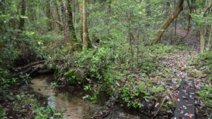 Florida Trail, Forgotten Creek 9.7 miles. Contrasting steephead ravines and sluggish creeks in gum swamps with longleaf pine restoration areas, the Forgotten Creek portion of the Florida Trail in Nokuse surprises with its challenges.
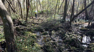 Florida Trail, Lafayette Creek 9.3 miles. From a tricky traverse of the floodplain of Lafayette Creek to a roller-coaster of steep dips through wooded ravines, this scenic and surprisingly hilly section of the Florida Trail will give you a serious workout.
Side Trails
Trails that interconnect with and sometimes share a portion of the Florida Trail route.
 Faye and Dutch Trail Looping six miles through Florida’s oldest state forest, the Faye and Dutch Trail can be tackled as a day hike or a short backpacking trip.
Public Lands
Some of the public lands this section of the Florida Trail crosses.
 Pine Log State Forest Florida's oldest state forest offers waterfront camping and a variety of loop trails for hikers, cyclists, and equestrians, plus a 5.7 mile linear segment of the statewide Florida Trail.
 Florida Trail, Nokuse 27.7 miles. Spanning from the Choctawhatchee River west to the boundary of Eglin Air Force Base, Nokuse is a compelling backpacker's destination in the Florida Panhandle.
Connections
Adjoining Florida Trail sections to the north and south.
 Florida Trail, Eglin One of the most compelling sections of the Florida Trail for backpackers, the 98.3 miles through Eglin offers rugged elevation changes and crystalline waterways.
 Florida Trail, Apalachicola In Florida’s largest national forest, this 78 mile segment of the Florida Trail through the Apalachicola means soggy feet and spectacular botanical diversity south of Tallahassee.
Suggested Articles
 Plan your Florida Trail Hike Thinking of section hiking, thru-hiking, or simply backpacking the Florida Trail? Plan ahead with this step-by-step guide of what to do in advance of hiking the Florida Trail.
 Florida Trail Backpacking Backpackers will appreciate the many places the Florida Trail provides a pleasant overnight, three-day-weekend, or multi-day hiking experience to escape to the outdoors.
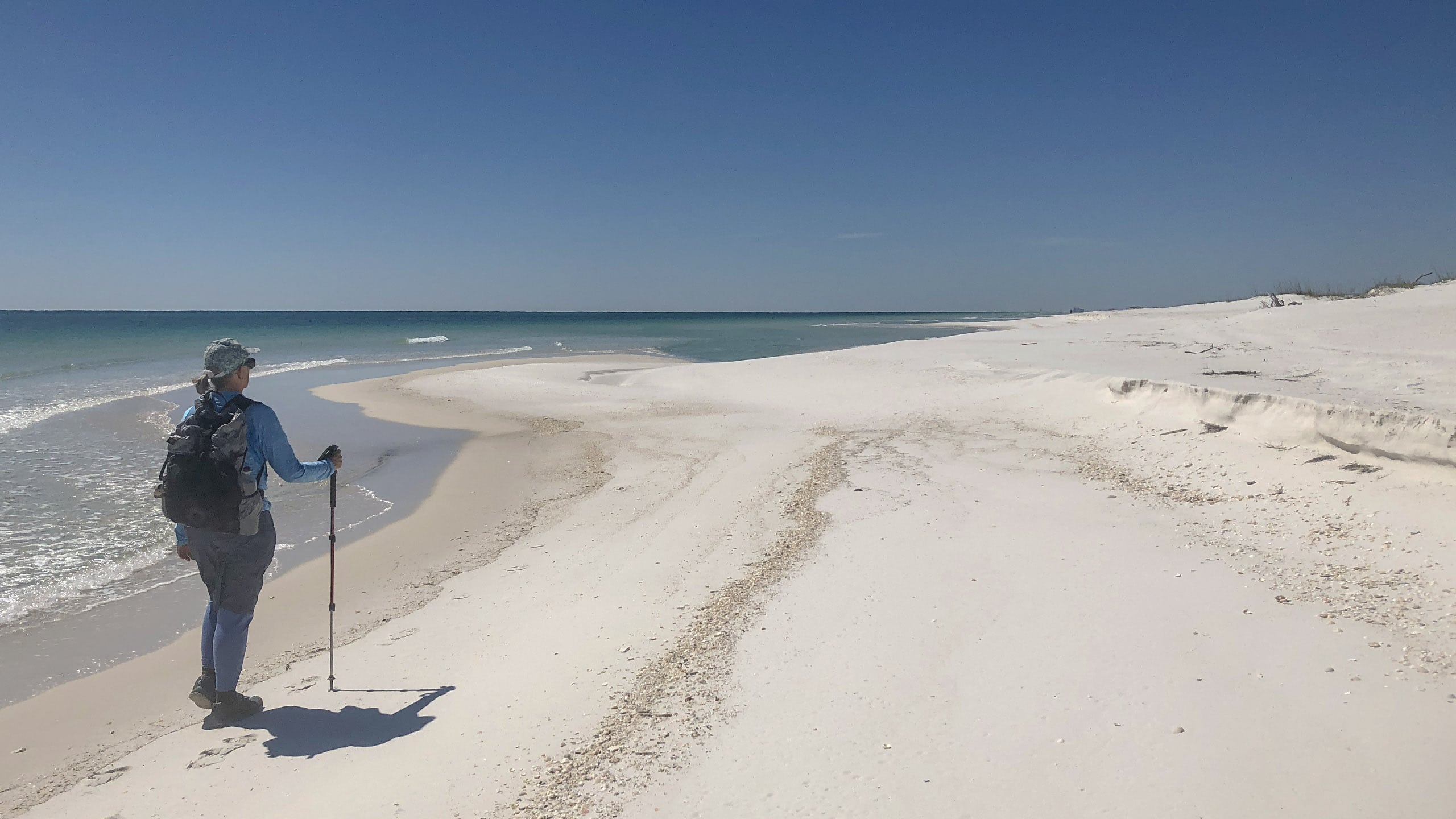 Section Hiking the Florida Trail Section hiking the Florida National Scenic Trail provides some logistical challenges, but a sense of satisfaction in being able to complete an 1,100-mile walk across Florida at your own pace.
 Thru Hike the Florida Trail A thru-hike in Florida takes sixty to ninety days across a surprising diversity of landscapes not found on other long distance trails in the United States.
 Best Hikes on the Florida Trail Explore our picks for the best scenic hikes along the Florida Trail. We've hiked the entire trail: these are pieces of the trail we'd be happy to hike again and again.
Recent Articles

- Baseline Trails - November 7, 2026
- Hal Scott Yellow Trail - November 3, 2026
- Hal Scott Preserve - October 28, 2026