• Skip to main content
  • Skip to header right navigation
  • Skip to after header navigation
  • Skip to site footer
Florida Hikes logo

Florida Hikes

Hike Bike Paddle Camp Florida with authors Sandra Friend and John Keatley as your guides

  • Trails
  • Maps
  • Guidebooks
  • Hike
    • Scenic Hikes
    • Loop Trails
    • Dog-friendly Hikes
    • Hikes for Kids
    • National Parks in Florida
    • Florida State Parks
  • Bike
    • Major Bike Trails
    • Paved Bike Trails
    • Off Road Biking
    • Biking Articles
  • Paddle
    • Canoe & Kayak Rentals
    • Paddling Destinations
    • Paddling Articles
  • Camp
    • Cabin Rentals
    • Car Camping
    • Primitive Camping
  • Florida Trail
    • Plan your Hike
    • Best Scenic Hikes
    • Best Backpacking
    • Section Hiking
    • Thru-Hiking
    • Trail Updates
  • Travel
Estuary with skinny cabbage palms

Florida Trail, Spring Creek

Discover magnificent salt marshes and pine forests where the Florida Trail traverses wild coastlines of the Big Bend in St. Marks National Wildlife Refuge.

Florida Trail, St. Marks West (30.098750, -84.327028)   5.5 miles   Florida Trail, Big Bend

For many years, one of the most scenic sections of the Florida Trail had been closed after a series of tidal surges damaged necessary infrastructure.

When the boardwalks washed away, using the route to cross these salt marshes was very hazardous, so a long road walk was established to circumnavigate.

Creek flowing through estuary Spring Creek


Plans to fix this segment were developed over time, including the use of grant funds stemming from the Deepwater Horizon oil spill.

In June of 2026, the trail reopened with a spectacular new bridge crossing over the tidal creek and its picturesque marshes.

Interpretive sign Interpretive sign next to the bridge (Jeff Glenn)


Hiking in from a nearby trail crossing at Spring Creek Hwy is the easiest way to reach the creek, with a 3 mile round trip to the bridge and back.

If shuttling is an option, more gorgeous scenery awaits along a 5.5 mile linear trek northbound to the Purify Bay Trailhead.

Man with daypack looking across mucky estuary Scouting Spring Creek before the new bridge was built (Sandra Friend)


Our Florida Trail Books & Guides

Florida Trail Hikes book cover The Florida Trail Guide book cover Florida Trail history book Florida Trail small coffee table book
 
Disclosure: As authors and affiliates, we receive earnings when you buy through our links. This helps us provide public information on this website.


Overview

Location: Medart
Length: 5.5 miles
Trailhead: 30.098750, -84.327028
Address: Spring Creek Hwy, Crawfordville
Fees: Free
Restrooms: None
Land manager: St. Marks National Wildlife Refuge
Phone: 850-925-6121

Open sunrise to sunset. Leashed dogs welcome, although it is dangerous due to the presence of alligators.

Arrange camping by permit at Marsh Point with St. Marks NWR in advance if you are backpacking the entire refuge.


Directions


From the intersection of SR 363 and US 319 south of Tallahassee, head south on SR 363 for 13.2 miles before turning right onto US 98. In 7.2 miles, make a left onto Spring Creek Hwy, continuing for three miles to the Florida Trail crossing, marked with small signs on the side of the road. There is room for a vehicle to pull off onto the grassy shoulder.

Hike

Starting at the signposted Spring Creek Hwy road crossing, orange blazes lead westward into the pine forest, passing a pretty pond to the south.

As the trail dips deeper into the floodplain, cabbage palms and magnolia appear alongside huge loblolly pines.

Large pond Flatwoods pond


The trail returns to high ground after crossing a small creek, where it turns to follow a winding forest road.

A mixed canopy of pine and oak casts dappled shade onto a wide pathway bordered with saw palmetto, blueberry bushes, and yaupon holly.

Footpath blazed along forest road Forest road


The forest opens up while rounding a bend at 1.4 miles and the bridge comes into view. Walk out onto the robust wooden walkway.

Ospreys chirp in the distance, and fiddler crabs skitter across dark, thick mud lining the waterway.

Lengthy bridge across estuary Spring Creek Bridge


From this point, continue across the bridge for a linear hike, or turn around to retrace your footsteps for 1.4 miles back to Spring Creek Hwy for a 3.3 mile round trip.

A concrete picnic table emblazoned with the Florida Trail logo sits at the opposite end of the bridge, where orange blazes continue northbound along a forest road.

Picnic bench in clearing next to bridge Bench on the west side of the bridge (Jeff Glenn)


The trail turns off the road at 2.3 miles, before delving into a shrubby pine flatwoods environment with a scattering of palms and large live oaks.

In another mile, pass the Marsh Point campsite, a designated camping area in a clearing with benches and a picnic table.

Campsite clearing with sign and picnic table Marsh Point Campsite


Past the campsite, the trail leads out to Marsh Point, where needlerush filled salt marshes stretch out as far as the eye can see.

The pathway then bends to the north, following alongside a scenic winding tidal creek. Returning to the flatwoods, follow the trail west.

Expanse of estuary to islands on horizon Marsh Point


Cross a series of seasonal streams before opening to a savanna covered with gallberry, lyonia, and a variety of colorful wildflowers.

Nearing 5.5 miles, turn left onto a blue blazed side trail, continuing for another tenth of a mile to finish at the Purify Bay trailhead.

Pine flatwoods with orange blaze on pine trunk Pine flatwoods


FLORIDA TRAIL NORTHBOUND: Purify Bay
FLORIDA TRAIL SOUTHBOUND: Porter Tract

Suggested Articles

Planning tools for the Florida Trail Plan your Florida Trail Hike Thinking of section hiking, thru-hiking, or simply backpacking the Florida Trail? Plan ahead with this step-by-step guide of what to do in advance of hiking the Florida Trail.
Hiking trail with backpack in foreground Florida Trail Backpacking Backpackers will appreciate the many places the Florida Trail provides a pleasant overnight, three-day-weekend, or multi-day hiking experience to escape to the outdoors.
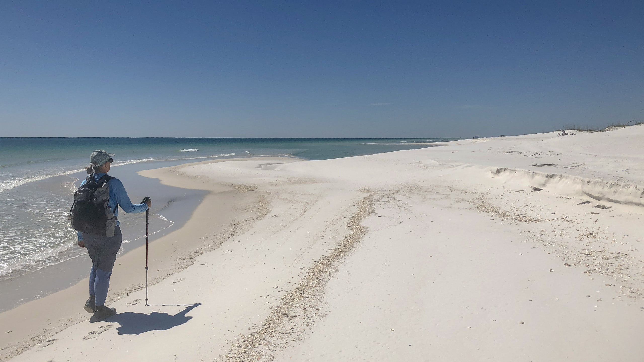
Woman with daypack walking along ocean Section Hiking the Florida Trail Section hiking the Florida National Scenic Trail provides some logistical challenges, but a sense of satisfaction in being able to complete an 1,100-mile walk across Florida at your own pace.
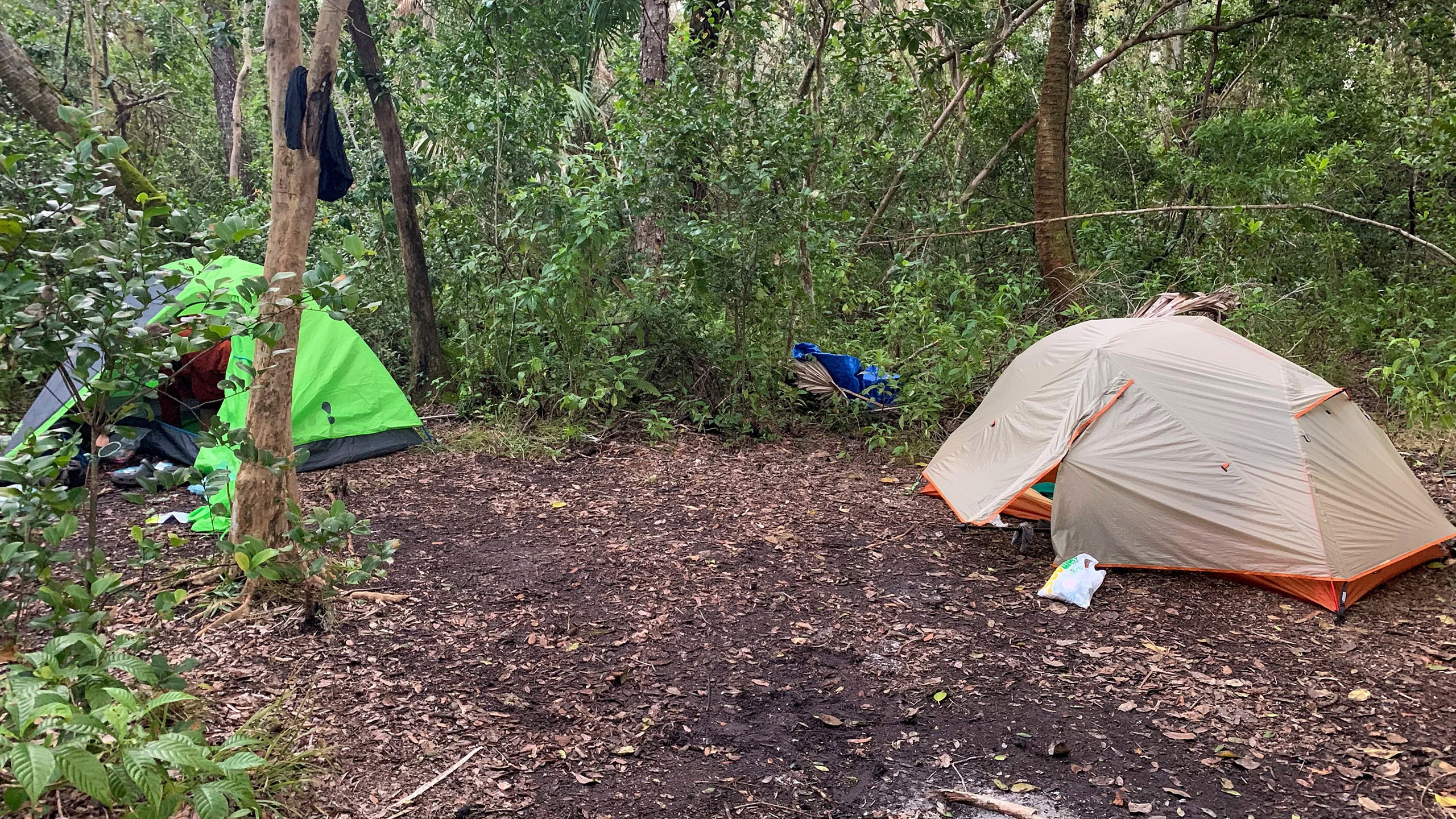
Tents pitched in a clearing in a tropical forest Thru Hike the Florida Trail A thru-hike in Florida takes sixty to ninety days across a surprising diversity of landscapes not found on other long distance trails in the United States.

Trail Map

Florida Trail Spring Creek Trail Map
Red: route described. Orange: Florida Trail northbound/southbound

Explore More!

Learn more about the Big Bend section of the Florida Trail

Words Florida Trail Big Bend over a lush marsh lined with palms and cypress on horizon Florida Trail, Big Bend Crossing rural farms and forests, this 116 mile segment of the Florida Trail reveals the secrets of the Aucilla River before tracing the Gulf coastline at St. Marks National Wildlife Refuge.

Learn more about St. Marks National Wildlife Refuge

Lighthouse with palm trees and white sand beach on marsh St. Marks National Wildlife Refuge Stretching across 86,000 acres in Florida's Big Bend, St. Marks National Wildlife Refuge protects one of Florida's longest wild shorelines, more than 43 miles in three counties.

Video

Hiking the Florida Trail at Spring Creek


Slideshow

See our photos from this section


Nearby Adventures

Rounded spring surrounded by forest Florida Trail, Shepherd Spring Visit a pair of natural treasures along the Forgotten Coast on this 6 mile hike along the Florida Trail within St. Marks National Wildlife Refuge.
Florida Trail, Sopchoppy Florida Trail, Sopchoppy 8.9 miles. Slipping through pine flatwoods and sandhills to the east of Sopchoppy, the Florida Trail plays tag with a network of forest roads that criss-crosses the southern portion of the Apalachicola National Forest.
Sweep of peninsula along a cove Bald Point State Park From its namesake point at the Gulf of Mexico to the sandy heights of St. Teresa Bluffs, Bald Point State Park protects miles of waterfront along Ochlockonee Bay while providing extensive trails to roam.
Expanse of blue water and pines Ochlockonee River State Park At Ochlockonee River State Park waters meet, the tidal bore of the estuary pushing upstream to meet two rivers draining the vast swamps of the Apalachicola National Forest.

Trail Map (PDF) Interactive App Hunt Dates (PDF) Official Website

  • Author
  • Recent Posts
Chris Stevens
Chris Stevens
Along with his wife Chelsey, Chris Stevens shares outdoor adventures on Instagram and Facebook as @sunshinestateseekers and is a co-host of a podcast about Florida's outdoors, The Florida Madcaps. An avid hiker and camper, Chris serves as a Trailmaster and a board member for the Florida Trail Association.
Chris Stevens
Latest posts by Chris Stevens (see all)
  • Sandhill Preserve - November 9, 2026
  • Calusa Heritage Trail - November 5, 2026
  • Scherer Thaxton Preserve - October 21, 2026
Category: Day Hikes, Florida Trail, Hikes, Northwest Florida, TrailsTag: Big Trees, Boardwalks, Crawfordville, Florida Trail, FT Big Bend, FT St Marks West, Gulf of Mexico, Scenic Hikes, Sopchoppy, St. Marks National Wildlife Refuge, Wildlife Viewing

Sidebar

FarOut Guides

Our comprehensive trail logistics presented on offline maps:

Florida National Scenic Trail (1,500 miles)
Florida Keys Overseas Heritage Trail (108 miles)
Eastern Continental Trail in Florida (92 miles)


We earn a small commission on sales through these links. Thanks for your support!


Our Florida Guidebooks

We’ve written guidebooks to Florida’s outdoors for over twenty years. These help you plan a hike on the Florida Trail.


The Florida Trail Guide

Book cover of forest with diminutive hiker among tall trees

FIND A TRAIL OR PARK

METROS: Bradenton. Clearwater. Crestview. Daytona Beach. Destin. Fort Lauderdale. Fort Myers. Fort Walton Beach. Gainesville. Jacksonville. Kissimmee. Lakeland. Melbourne. Miami. Naples. Ocala. Orlando. Panama City Beach. Pensacola. Port St. Lucie. Punta Gorda. St. Petersburg. Sanford. Sarasota. Sebring. Stuart. Tallahassee. Tampa. Vero Beach. West Palm Beach.

MULTI-REGION: Atlantic Coastal Ridge. Atlantic Coast. Bartram Trail. Big Bend. East Coast Greenway. Everglades National Park. Florida National Scenic Trail. Gulf Coast. Lake Wales Ridge. WATERWAYS: Indian River Lagoon. Intracoastal Waterway. Kissimmee River. St. Johns River. Withlacoochee River.

NORTHWEST FLORIDA: Altha. Apalachicola. Apalachicola National Forest. Big Bend Scenic Byway. Blackwater River State Forest. Blountstown. Bonifay. Bristol. Bruce. Cantonment. Cape San Blas. Carrabelle. Chattahoochee. Chipley. Crawfordville. DeFuniak Springs. Eastpoint. Ebro. Eglin Air Force Base. Freeport. Fountain. Gulf Breeze. Gulf Islands National Seashore. Holt. Madison. Marianna. Milton. Monticello. Mossy Head. Munson. Navarre. Navarre Beach. Newport. Niceville. Panacea. Panama City . Perdido Key. Ponce De Leon. Port St. Joe. Quincy. Santa Rosa Beach. Sopchoppy. South Walton. St. George Island. St. Marks. St. Marks NWR. Sumatra. Vernon. Wakulla. Wewahitchka. Woodville. WATERWAYS: Apalachicola River. Blackwater Bay. Blackwater River. Chipola River. Choctawhatchee Bay. Choctawhatchee River. Coastal Dune Lakes. Ochlockonee Bay. Perdido River. St. Marks River. Wacissa River. Wakulla River. Yellow River.

NORTH FLORIDA: Alachua. Amelia Island. Archer. Baldwin. Branford. Bronson. Bunnell. Callahan. Cedar Key. Chiefland. Crescent City. Cross City. Cross Creek. Dowling Park. Ellaville. Fanning Springs. Fernandina Beach. Flagler Beach. Fort White. Glen St. Mary. Green Cove Springs. Hawthorne. High Springs. Inglis. Jacksonville Beaches. Jacksonville Northshore. Jasper. Jennings. Keystone Heights. Lake Butler. Lake City. Live Oak.Macclenny. Mandarin. Mayo. Mayport. Micanopy. Middleburg. Old Town. Olustee. Orange Park. Osceola National Forest. Palatka. Palatka-Lake Butler Trail. Palm Coast. Palm Valley. Perry. Ponte Vedra. Rodman. Salt Springs. St. Augustine. Starke. Steinhatchee. Suwannee. Suwannee River Wilderness Trail. Suwannee Springs. Talbot Islands. Timucuan Preserve. Trenton. Waldo. Welaka. White Springs. Williston. Worthington Springs. Yankeetown. WATERWAYS: Santa Fe River. St. Marys River. Suwannee River. Tolomato River. Upper Withlacoochee River.

CENTRAL FLORIDA: Altamonte Springs. Apollo Beach. Apopka. Astatula. Astor. Auburndale. Bartow. Babson Park. Bayport. Belleview. Bithlo. Brandon. Brooksville. Bushnell. Canaveral National Seashore. Cassadaga. Christmas. Chuluota. Citrus Springs. Clearwater Beach. Clermont. Coast to Coast Trail. Cocoa. Cocoa Beach. Cross Florida Greenway. Crystal River. Dade City. De Leon Springs. DeBary. Deland. Deltona. Dunedin. Dunnellon. Edgewater. Enterprise. Eustis. Ferndale. Fort Meade. Frostproof. Geneva. Gibsonton. Haines City. Hernando. Hernando Beach. Holopaw. Homosassa. Inverness. Kenansville. Kissimmee. Lake Mary. Lake Wales. Largo. Leesburg. Lithia. Longwood. Lutz. Maitland. Malabar. McIntosh. Melbourne Beach. Merritt Island. Merritt Island NWR. Mims. Mount Dora. Narcoossee/Lake Nona. New Port Richey. New Smyrna Beach. Nobleton. Oak Hill. Oakland. Ocala National Forest. Ocklawaha. Ocoee. Oldsmar. Orange City. Ormond Beach. Osteen. Oviedo. Paisley. Palm Bay. Plant City. Poinciana. Polk City. Ponce Inlet. Port Orange. Ridge Manor. Riverview. Ruskin. Safety Harbor. Silver Springs. Sorrento. Spring Hill. St. Cloud. Tarpon Springs. Thonotosassa. Titusville . Umatilla. Viera. Walt Disney World. Weeki Wachee. Weirsdale. Wimauma. Windermere. Winter Garden. Winter Haven. Winter Park. Winter Springs. Withlacoochee State Forest. Withlacoochee State Trail. Yeehaw Junction. Zephyrhills. WATERWAYS: Alafia River. Halifax River. Hillsborough River. Lake Apopka. Little Manatee River. Ochlawaha River. Rainbow River. Tampa Bay. Wekiva River. Wekiva River Basin.

SOUTHWEST FLORIDA: Alva. Boca Grande. Cape Coral. Charlotte Harbor. Ding Darling NWR. Ellenton. Englewood. Estero. Immokalee. Marco Island. North Port. Osprey. Palma Sola. Palmetto. Pine Island. Port Charlotte. Sanibel Island. Venice. WATERWAYS: Caloosahatchee River. Manatee River. Myakka River. Pine Island Sound.

SOUTH FLORIDA: Arcadia. Basinger. Big Cypress National Preserve. Big Cypress Seminole Reservation. Big Cypress Swamp. Bowling Green. Clewiston. Everglades City. Indiantown. LaBelle. Lake Okeechobee Scenic Trail. Lake Placid. Lakeport. Moore Haven. Okeechobee. Ortona. Pahokee. Palmdale. Port Mayaca. South Bay. Wauchula. Zolfo Springs. WATERWAYS: Fisheating Creek. Lake Okeechobee. Peace River.

SOUTHEAST FLORIDA: Biscayne Bay. Biscayne National Park. Boca Raton. Boynton Beach. Coconut Creek. Coral Gables. Coral Springs. Davie. Delray Beach. Fellsmere. Flamingo. Fort Pierce. Hobe Sound. Hollywood. Homestead. Indrio. Jensen Beach. Juno Beach. Jupiter. Jupiter Farms. Key Biscayne. North Hutchison Island. Ocean to Lake Greenway. Palm Beach. Palm Beach Gardens. Pompano Beach. Redland. Sebastian. South Hutchinson Island. WATERWAYS: Florida Bay. St. Lucie River.

FLORIDA KEYS: Big Pine Key. Islamorada. Key Largo. Key West. Marathon. Overseas Heritage Trail.


©2006-2026, Sandra Friend & John Keatley | Disclosure | Site Index | Work with Us | Advertise with Us | Terms of Service and Privacy Policy

Florida Hikes PO Box 93 Mims FL 32754 | Contact