
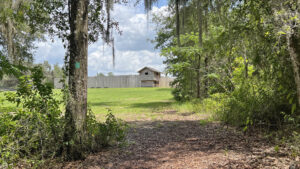
Raised in 1835, Fort King served as an outpost to push the indigenous Seminole out of lands desired by settlers.
After the war, the fort and its structures were turned over to newly-formed Marion County for its first county seat and courthouse.
 Replica fort and the original National Historic Landmark monument
Surprisingly roomy, a built-to-scale replica of the frontier fort now sits atop its original footprint.
A walk along the blazed trail through the woods to points of historic interest paired with a circuit of the fort interior totals a mile.
 There are many benches along the footpath
Resources





Disclosure: As authors and affiliates, we receive earnings when you buy through our links. This helps us provide public information on this website.
Overview
Location: Ocala
Length: 1 mile
Trailhead: 29.18669, -82.08214
Address: 3925 E Fort King St, Ocala
Fees: Free
Restrooms: Behind the Welcome Center
Land Manager: City of Ocala
Phone: 352-789-1133
Open sunrise to sunset. Welcome Center and Archaeological Resource Center open Fri-Sat 10-5. Leashed dogs welcome; pick up after your pet.
Directions
From Interstate 75 exit 352, follow US 40 east through Ocala 4.9 miles to SE 25th Ave. Turn right and make a left on E Fort King Street, passing the Ocala Public Library. Continue 1.1 miles east to the entrance on the left.
Hike
From the prominent trailhead adjoining the large chickee in front of the Welcome Center, take the sidewalk towards the center.
Turn downhill at the Trailhead sign, following the grassy slope past the Heritage Garden into the woods.
 Welcome Center
The main route through the mazy trails is marked with green blazes and occasional Trail signs.
At the first split in the path, bear right. Descend, curving through a hardwood hammock past a bench.
 Bench along a curve
Bear slightly left at the next trail sign, as the path on the right heads towards a clearing. A dense jungle-like understory permeates this ever-humid part of the forest.
Arriving at an intersection of trails, turn right. Cross a small bridge to a grassy area along the seep spring.
This guaranteed water source is why Fort King was sited where the replica now stands on the high ground.
 Bridge to the spring
Natural percolation within a low ravine creates this spring and the flowing waterway under the bridge.
Both are uncommon features for the Ocala Highlands, a region where surface streams are minimal.
Wildlife is attracted to its presence, so you may see raccoons or hear frogs barking along the marshy edges.
 Seep spring
Cross the bridge back past a bench to the trail junction and turn right. Descending slowly in the dappled shade of the hardwood hammock, pass a turnoff on the left.
Parallel the stream, which nourishes a vibrant forest with a high canopy of many towering trees.
Cabbage palms add texture below; sword ferns and bluestem palm poke from the leaf litter. Curve past a bench at a quarter mile, the forest becoming lusher.
 Hardwood hammock
Reaching a junction with a bench and a Trail sign pointing left, take a side trip to the right to look over the stream.
It isn’t much of one, but its shallow trickle of surface water nourishes a dense understory.
 The trail turns away from the stream
Following the sign, walk through another trail intersection at the next sign. As the broad path curves, the habitat shifts to a drier hammock.
The next trail crossing is a significant one. It’s the original Fort King military trail, which extended south to Fort Brooke in Tampa and north to Georgia.
It was used by both soldiers and settlers, and became known as “Military Road.” Stick with the green blazes for the perimeter hike.
 The historic Military Road leads straight uphill to the fort gates
Within the hardwoods, a bench faces an ancient live oak at 0.4 miles. The ascent begins in earnest, the path climbing through a richly textured understory.
There are occasional surprises: a magnolia here, a cedar there. The next bench faces a break in the forest framing one corner of the replica fort.
 Woodland canopy
Past a maintenance road, emerge onto the lawn below the fort. Keep to the forest edge to re-enter it on a curving path into relict sandhills.
Continue the ascent through laurel oaks and mounds of grapevine past a bench, reaching an intersection with a bench at 0.6 miles.
 Bench intersection
Turn right to walk uphill out of the forest to the site of the Fort King Cemetery. Soldiers who served at the fort between 1835 and 1842 were originally buried here.
They were re-interred in St. Augustine National Cemetery after the Second Seminole War concluded.
 Historic cemetery
Return to the junction with the bench and proceed through it. Descending through the laurel oaks, emerge on the grassy lawn again outside the fort.
Walk up to its corner and follow the front wall facing the downhill slope to enter the fort if the gates are open.
 Front of the fort
A circuit around its interior allows you to explore the two-story lookout posts in the corners.
Interpretive signs provide the context of this site in the greater picture of the Seminole Wars between 1816 and 1842.
All three wars were fought to expand the settlements of the United States into the homeland of the Seminoles.
 Interpretive signs along interior wall
The U.S. Army’s attempts to remove the Seminole from Florida to Oklahoma were met by force.
Having had two previous treaties broken as to the boundary of their lands in Florida, the Seminole never entered into an agreement to leave the Florida territory.
 An officer’s writing desk in one of the lookout posts
Exiting the fort, turn right to walk along its paved path to the parking area, with additional interpretation of the site.
Stop at the replica blacksmith shop as it would have existed during the fort’s existence. It wasn’t just about horseshoes.
 Blacksmith shop
Forging tools, the blacksmith was an absolute necessity: he made nails for the rest of the buildings, too.
Returning to the driving loop past the visitor center, swoop past the center to return to the trailhead, wrapping a mile walk.
 Trailhead as seen from a window in the fort
Trail Map

Explore More!
Video
Hiking Fort King National Historic Landmark
Slideshow
See our photos from this hike
Nearby Adventures
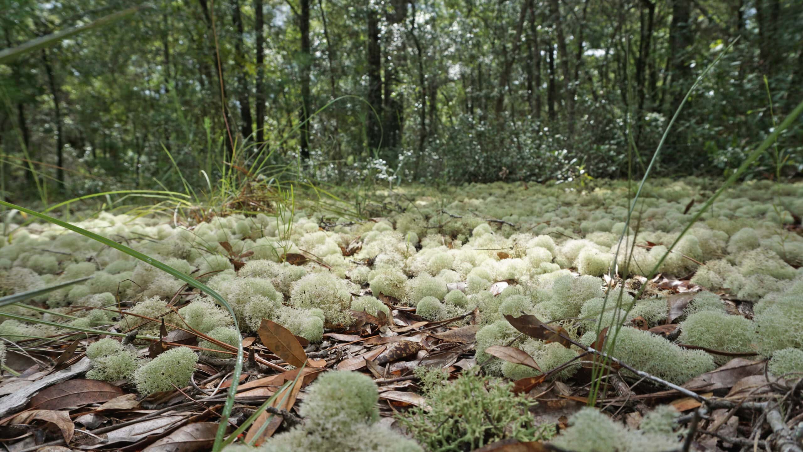 Silver Springs Conservation Area Silver Springs Conservation Area protects upland habitats crucial to recharge of Silver Springs. Two stacked loop trails (with a cross-trail on the upper loop) provide several options for hiking.
 Silver Springs State Park One of the world's largest and deepest springs, Silver Springs pours out more than 550 million gallons of water daily, forming the Silver River.
 Florida Trail, Marshall Swamp 3 miles. Marvel at towering trees in an ancient forest along this Florida Trail segment on the Cross Florida Greenway.
 Indian Lake Bear-N-Oak Trail The Bear-N-Oak Trail at Indian Lake State Forest provides a fascinating look at karst terrain centered on Indian Lake, a sinkhole lake that connects to Silver Springs via the Floridan aquifer.

- Hal Scott Yellow Trail - November 3, 2026
- Hal Scott Preserve - October 28, 2026
- Tradewinds Park - October 27, 2026