
Resources
Resources for exploring the area





Disclosure: As authors and affiliates, we receive earnings when you buy these through our links. This helps us provide public information on this website.
What is NENA?
A bold initiative to bring together two counties with vast wetlands along their border, the Northeast Everglades Natural Area (NENA) is a regional initiative to conserve significant watersheds between Lake Okeechobee and the Atlantic Coast.
In addition to its eastern and western shorelines, the area is bounded by water features to the north and south. The St. Lucie Canal – formerly the natural-flowing St. Lucie River – forms the upper boundary.
The West Palm Beach Canal stretching west to Canal Point is the south boundary.
Promoted by South Florida Water Management District as a way to focus recreational interest on this region, NENA includes more than 300 miles of trails.
These trails are on nearly 35 distinct public lands, with more being added all the time.
For backpackers, the Ocean to Lake Hiking Trail is a significant resource spanning 61 miles across this region.
Equestrians have use of the Ocean to Lake Greenway. Several other major trails are under development.
Trails and Parks in the Northeast Everglades Natural Area
 Apoxee Wilderness Trail In the wet prairies and tropical hammocks of Apoxee Wilderness, an urban wilderness area, tackle a 4.7-mile day hike through the southernmost part of Grassy Waters Preserve.
 Blowing Rocks Preserve At one of Florida's most dramatic shorelines, explore a limestone bluff battered by Atlantic Ocean and beaches along the Indian River Lagoon.
 Florida Trail, Ocean to Lake: Corbett An 11.7 mile linear hike through a vast watery wilderness comparable to Big Cypress and the Everglades, it's hard to believe this woolly adventure is in Palm Beach County.
 Florida Trail, Ocean to Lake: Corbett to Luckey Tract On this 12.1 miles of the Florida Trail between campsites at Corbett WMA and Luckey Hammock, discover the natural wonders of Hungryland Slough and Loxahatchee Slough.
 Florida Trail, Ocean to Lake: DuPuis to Corbett Deep in the heart of the Ocean-to-Lake Greenway, this 9.7 mile segment of the Florida Trail bridging DuPuis Reserve and Corbett WMA is one of the most wild and scenic treks in southeastern Florida.
 Florida Trail, Ocean to Lake: DuPuis WMA On this western end of the Ocean-to-Lake section of the Florida Trail, this linear hike leads to the heart of DuPuis Reserve, zigzagging through pine forests and cypress domes.
 Florida Trail, Ocean to Lake: Luckey Tract to Kitching Creek 10.7 miles. A hike of extreme contrasts, this segment of the Florida Trail crossing Riverbend Park and Cypress Creek connects Loxahatchee Slough with Jonathan Dickinson State Park.
 Florida Trail, Pahokee to Port Mayaca 11.7 miles. An ocean-like expanse, Lake Okeechobee is open water to the horizon along the long arc between Pahokee and Port Mayaca.
 Florida Trail, Port Mayaca to Henry Creek 14 miles. In an arc between ancient natural shoreline and expansive waters, this hike along Lake Okeechobee's eastern shore offers unparalleled vistas.
 Frenchman’s Forest Natural Area Four hiking trails intertwine in this 172-acre natural area, with seven different habitats to explore along footpaths, paved trails, and boardwalks.
 Grassy Waters Hog Hammock Trail At the north end of Grassy Waters Preserve, traverse an Ice Age ridge protruding above the sheet flow of Loxahatchee Slough on a series of islands topped with tropical hammock.
 Grassy Waters Preserve Protecting a sheet flow of rainfall moving steadily southward and parallel to the Atlantic Ocean, Grassy Waters Preserve bears a striking resemblance to the Everglades - because it is.
 Hobe Mountain Trail Catch sweeping views in every direction atop the highest natural hill south of Lake Okeechobee on the Hobe Mountain Trail at Jonathan Dickinson State Park.
 Hungryland Boardwalk A short walk from the Ocean to Lake Hiking Trail in J.W. Corbett Wildlife Management Area, a scenic boardwalk loops through cypress forests covered with native orchids and bromeliads.
 Hungryland Slough Natural Area Explore restored South Florida habitats in Hungryland Slough along a soggy four mile loop that incorporates a segment of the Ocean to Lake Hiking Trail.
 Jonathan Dickinson Green Loop Formerly the East Loop, the easternmost hike in the park scrambles up and down scrub-covered ancient dunes and through the ruins of Camp Murphy on its 5 mile circuit.
 Jonathan Dickinson State Park One of South Florida's best backpacking destinations, Jonathan Dickinson State Park encompasses a vast mosaic of ecosystems along the wild and scenic Loxahatchee River.
 Jonathan Dickinson White Loop Connecting with the Ocean to Lake Hiking Trail, the White Loop provides passage to the park's backcountry as well as a satisfying day hike.
 Juno Dunes Natural Area Preserving a sliver of the Atlantic Coastal Ridge at the north end of Juno Beach, this expansive preserve extends from the Intracoastal Waterway to A1A.
 Kitching Creek Nature Trail On the Kitching Creek Nature Trail, immerse in a small corner of the vast pine flatwoods communities extending across Jonathan Dickinson State Park.
 Limestone Creek Natural Area Centered on pine flatwoods along a historic creek basin lined with mangroves, Limestone Creek Natural Area is a green gem in a busy corner of Jupiter.
 Loxahatchee Slough Natural Area Escape to a vast watery wilderness where you can hike, bike, or paddle through Northern Everglades habitats on the outskirts of residential Palm Beach County
 Ocean to Lake Hiking Trail A 61-mile spur of the Florida Trail from Port Mayaca on the east side of Lake Okeechobee through forested landscapes to Hobe Sound Beach on the Atlantic Ocean.
 Pine Glades Natural Area Slosh more than nine miles through restored open prairies and wet pine flatwoods on a trail system along the northeastern edge of the historic Everglades ecosystem.
 Rafael Sanchez Trail In a narrow slice of forest atop the relict shoreline of Lake Okeechobee, the Rafael Sanchez Trail stays in deep shade for its 5.7 mile linear traverse of the rocky Okeechobee Ridge.
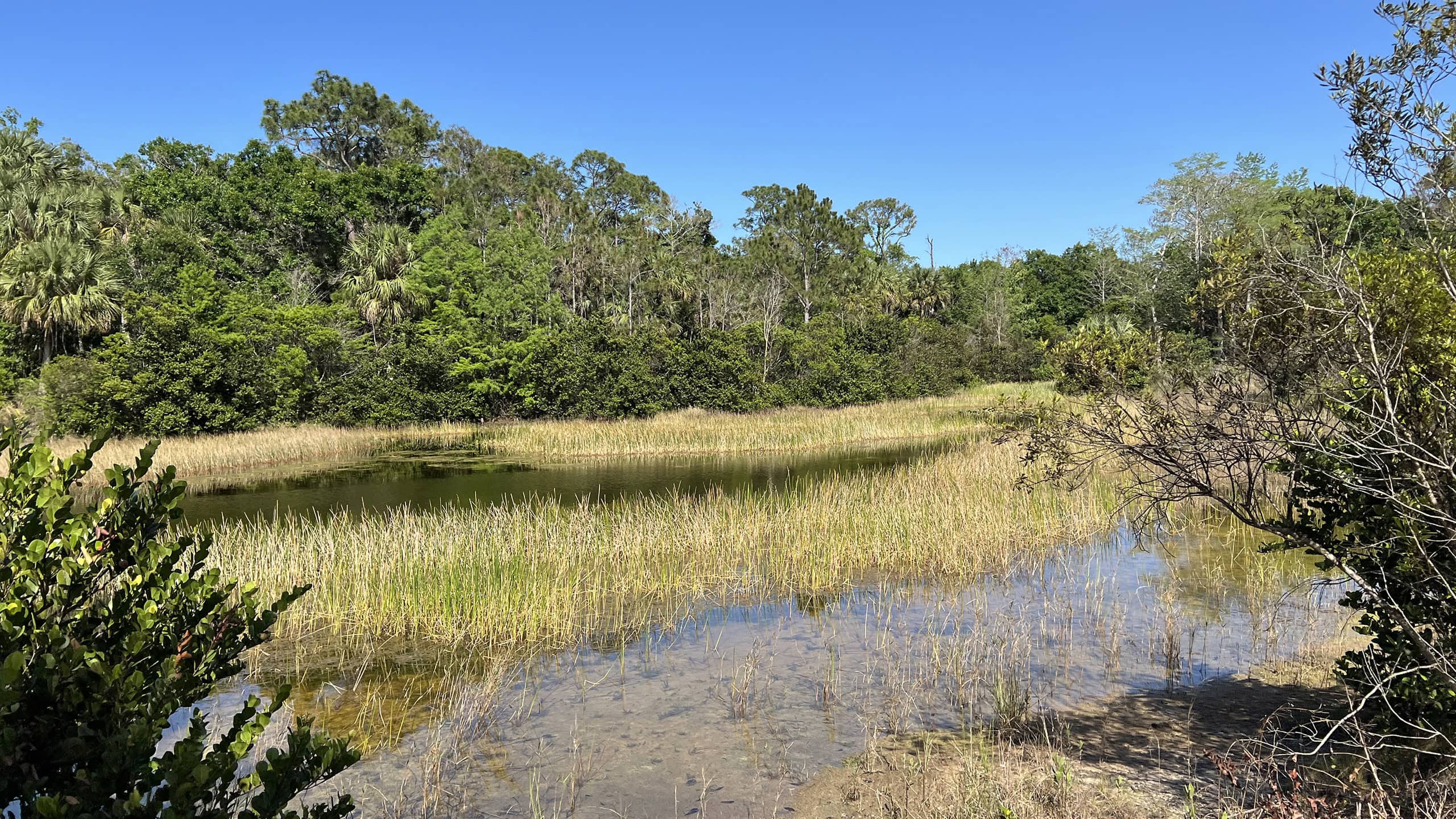 Riverbend Park Protecting the headwaters of the Loxahatchee River, Riverbend Park provides nature, tamed.
 Sandhill Crane Access Park With an observation tower overlooking adjacent trails and an expanse of cypress swamp, Karen T. Marcus Sandhill Crane Access Park provides a gateway to adventure.
 Sandhill Crane Loop Discover the wild beauty of the Sandhill Crane Tract of Loxahatchee Slough on this soggy loop hike through swamps, prairies, and to a tall observation tower with panoramic views.
Related Articles
 Okeechobee’s Last Wild Shore (11/22/2015) Hiking Lake Okeechobee's ancient shoreline is a surprise and a delight. The trail bobs. It weaves. It curves around naturally scoured waterways, and tunnels deeply through a tropical understory.
 Walking the Ocean to Lake Hiking Trail (2/20/2013) This week marks the 9th Annual Ocean to Lake Hike. It was a delight to learn last year that the 61-mile Ocean-to-Lake Trail is finally fully complete and open to the public. Last winter, John and I participated in the final three days of the six day group hike; the year before, I’d done the …
ALONG: Atlantic Ocean, Atlantic Coastal Ridge, Indian River Lagoon, Lake Okeechobee | PART OF: Southeast Florida