
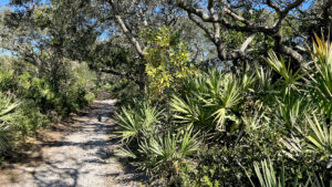
A round-trip and loop, the 2.3 mile Coastal Strand Trail offers a surprising workout and, seasonally, plenty of mosquitoes to protect yourself against.
At its start, expect mushy mud when waters rise amid the mangrove-lined marshes of the Halifax River basin at Smith Creek.
 A sometimes-sticky section of footpath
Near its south end, a roller-coaster of ancient dunes above the Atlantic Ocean create a tunnel effect between high points and low scrub.
Shaded by showy windswept oak hammocks, the linear portion of the trail yields to a sun-drenched loop through a coastal scrub forest.
 Descent from the high point
Resources





Disclosure: As authors and affiliates, we receive earnings when you buy through our links. This helps us provide public information on this website.
Overview
Location: Ormond-by-the-Sea
Length: 2.3 mile round-trip
Trailhead: 29.41072,-81.094962
Address: 40 Highbridge Rd, Ormond-by-the-Sea
Fees: Free
Restroom: At Smith Creek Landing
Land manager: Florida State Parks
Phone: 386-517-2086
Open 8 AM to sunset. Leashed dogs welcome except on beach.
Directions
From Interstate 95 north of Ormond Beach, take exit 278, Old Dixie Hwy, and head east on Old Dixie Highway for 0.8 mile. Turn left on Walter Boardman Ln and drive a mile. Cross Bulow Creek and turn right on High Bridge Rd, which is narrow and winds through the marshes. After 1.6 miles cross the Halifax River. The turn in to the trailhead at Smith Creek Landing is on the left.
Hike
At the edge of the parking area where a picnic table sits by Smith Creek, curve past a trail entrance sign with a map box into the cedars alongside the creek.
A broad observation deck provides a sweeping view of its open waters before the trail slips behind a screen of marsh-level mangroves.
 Start of the trail
The footpath may get mucky at high tide. Join a boardwalk and bridge across a shallow mangrove-lined waterway.
Ascending into a beautiful coastal hammock shaded by large live oaks, pass a shaded bench.
 Boardwalk bridge
Emerge at a distinct north-south corridor that was likely the former route of A1A. Turn left. Broad and grassy, it becomes more sandy around a curve.
The surrounding habitat turns scrubby. An interpretive marker points out a well-trodden path to a gopher tortoise burrow.
 Broad main north-south corridor
Keep right at a Y junction, following a linear corridor past a 1/4 mile sign. Bear left at a junction with an uphill into the shade of sand live oaks.
Reach a T with a kiosk and bench to the left. That’s the return route. Turn right to continue towards the larger loop at the north end of the trail.
 Quarter mile marker
Tunnel through the sand live oaks, the canopy occasionally opening up along a beautiful corridor edged with saw palmetto, young scrub oaks, and silk bay.
More interpretive signs point out potential inhabitants of this dry habitat on this sandy ridge between the Halifax River basin and the Atlantic Ocean.
 Shady coastal hammock
A straightaway emerges into the sun past the 1/2 mile post, the surroundings now firmly coastal scrub. On a mild curve, a bench sits in a welcome puddle of shade.
Seeing power lines ahead, reach Powerline Cut at 0.8 miles, a hiker marker pointing straight across it.
 Powerline Cut
Bear right after walking under the power lines to enter the palm-shaded sandy path pointed out by the next marker.
The loop begins with a steep, sandy ascent on this narrow passageway through the scrub to a high point on the ridge.
 Tunnel of scrub leading to a high point
A bench marks the spot, the sound of the Atlantic surf reverberating nearby. It’s a line of blue on the horizon the bench faces.
Descend through the low scrub on a surprisingly sharp angle of descent, meeting the Short Cut junction. Taking it cuts almost a half mile off the loop.
 Atlantic Ocean on the horizon
Continue past the junction for a roller-coaster walk on the soft sands of the ancient dunes. One bench provides a stop along this tight corridor hemmed in by the thicket of scrub.
Where the trees grow taller and coontie rises trailside, follow a curve onto orange-tinted coquina sands, emerging to the grassy linear corridor.
 Climbing a scrubby hill
At 1.1 miles, this is the north end of the loop. Turn left and amble along this grassy strip through the scrub, a favorite place for gopher tortoises to feed.
A fence with a gap and a hiker symbol invites exploration down a side path to a bench and kiosk facing the marshy edge of the Halifax River basin.
 North end of loop
Back on the main trail, pass the other end of the Short Cut at 1.4 miles. Returning to the south end of the loop at Powerline Cut by 1.6 miles, retrace the linear path through the oak hammocks.
Meeting the junction at the kiosk with the bench, continue straight ahead. Take a moment to catch the view of the Halifax River basin from this high point.
 River basin view
Dropping downhill under red cedars, merge in with the other side of the short loop around this ridge.
Reaching a clearing, take the unmarked side path on the right to see the edge of the marsh along the river.
 Edge of the marsh
Continue south along the broad corridor to the turnoff marked with a hiker marker. Return along this beautiful passageway, crossing the bridge.
Walk behind the mangroves to the Smith Creek observation deck. The trailhead is just around the corner, wrapping a 2.3 mile hike.
 Bench in the shade
Trail Map

Explore More!
Learn more about North Peninsula State Park
 North Peninsula State Park Neatly accessed via a scenic drive extending north from Ormond Beach, North Peninsula State Park has two tantalizing miles of oceanfront along a palm-rimmed line of dunes.
Video
Hiking the Coastal Strand Trail
Slideshow
See our photos from the Coastal Strand Trail
Nearby Adventures
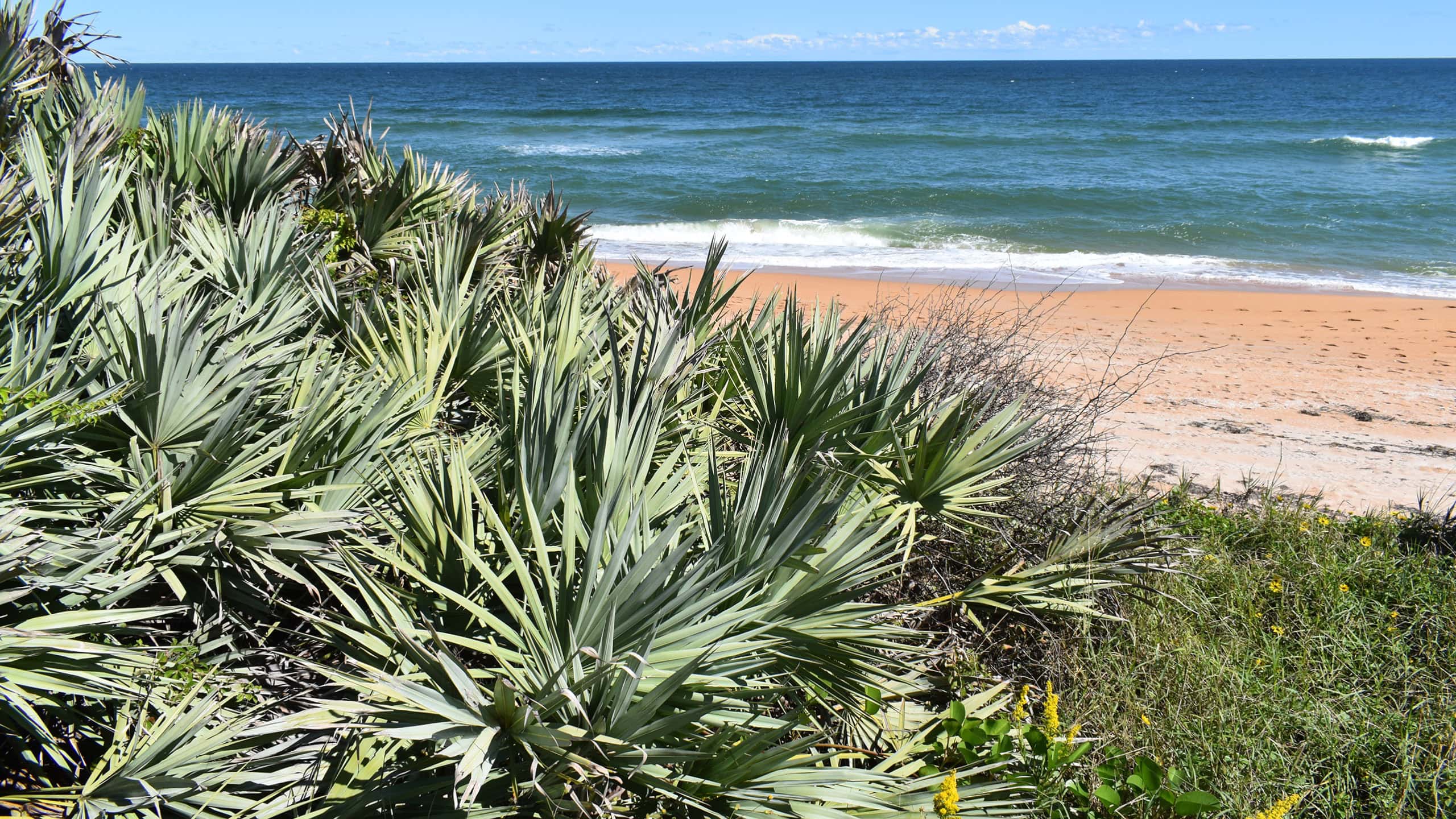 Gamble Rogers Memorial State Recreation Area Formerly Flagler Beach State Park, this popular park stretches from the orange sand beaches of the Atlantic to windswept oak hammocks along the Intracoastal Waterway.
 Bulow Creek State Park At Bulow Creek State Park, walk among the ancients in Bulow Hammock, starting with the imposing Fairchild Oak, one of Florida's largest live oak trees.
 Tomoka State Park Walk in the footsteps of the Timucua beneath the ancient oaks at Tomoka State Park, where the village of Nocoroco was a thriving community on a bountiful set of rivers.
 Bulow Plantation Ruins State Park History and natural beauty meet on a 1.4 mile hike under a dense canopy of ancient live oaks to the ruins of one of Florida's oldest sugar mills.

- Michael Crotty Bicentennial Park - November 3, 2026
- A.J. Henry Park - November 1, 2026
- Okeeheelee Nature Center Trails - October 22, 2026