
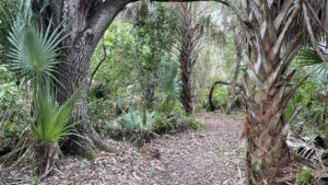
The longest trail in Pepper Ranch Preserve, Kite Flight Trail showcases the greatest variety of habitats along its length.
Designated for hiking and biking only, the trail leads visitors on a 3.8 mile circuit around active ranchlands with a 1.6 mile walk back to the trailhead along the main access road.
Each end of the Kite Flight Trail is within close proximity to other routes in the preserve, providing opportunities to hike more distance by stringing trails together.
 Berm on the Kite Flight Trail
Resources





Disclosure: As authors and affiliates, we receive earnings when you buy through our links. This helps us provide public information on this website.
Overview
Location: Immokalee
Length: 5.4 miles
Trailhead: 26.441087, -81.521450
Address: 6315 Pepper Rd, Immokalee
Fees: Free
Restrooms: At park office
Land manager: Collier County
Phone: 239-657-1999
Open Fri, Sat and Sun Nov–Jun, 7:30 AM – 4 PM. May be closed on other dates within this range, check website or call before traveling to the park.
Pets not allowed. Visitors must check in at the park office before entering the preserve.
Directions
From the intersection of Lake Trafford Rd and SR 29 in Immokalee, head west on Lake Trafford Rd for 2.9 miles before turning right onto Pepper Rd. Follow Pepper Rd for one mile until the road ends at three gates. The gate furthest to the left is the entrance to the visitor’s center and campground. Follow the dirt road for 0.2 mile to a parking area next to the office. After checking in at the office, head back to Pepper Rd, and enter the access code to open the preserve gate. Continue on the main dirt road for 2.8 mile before reaching the trailhead on the left side of the road.
Hike
Starting at a trailhead shared with the Panther Pass and Black Berm hiking and biking trails, walk north across the dirt road to a cattle gate marked with a sign for the Kite Flight Trail.
Wild coffee and palmettos border a narrow corridor as it winds through a dense forest of pine, oaks, and cabbage palms.
 Picnic tables and bench at the trailhead
Nearing a quarter mile, the trail crosses the first of several fences equipped with unique ramp stiles for bikes next to a metal gate.
Reaching a junction at 0.4 mile, turn left to follow a berm into the wetter western portion of the preserve.
 Cattle gate and stile
The raised berm begins to trace a perimeter around open cattle pastures, passing a strand swamp filled with cypress trees and crossing cutouts on short wooden bridges.
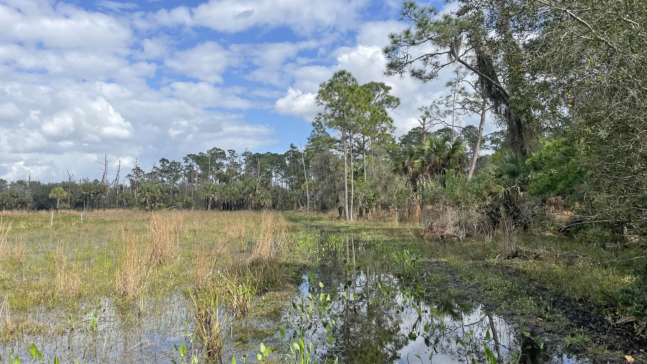
Nearing the 0.8 mile mark, a boardwalk winds around an especially scenic corner where wetlands overflow into trailside channels covered in lush aquatic vegetation.
 Berm boardwalk
Approaching the northwest corner, trail markers indicate the route as it meanders through an oak and palm hammock before emerging at an edge of the wide-open cattle pasture.
Continue following the berm eastward as it navigates between a series of depression marshes lined with willows and showy purple pickerelweed flowers.
 Oak and palm hammock
Large fronds rustle in the breeze while following a winding pathway between cabbage palms clustered the berm’s drier soils.
Distinctive calls of meadowlarks, limpkins, and kingfishers ring in the distance.
The trail’s namesake swallowtail kite soars above the grassy fields during yearly migrations that begin in early spring.
 Cabbage palms on the berm
Reaching the end of the trail at 3.8 miles, turn westward to follow the main dirt road back to the parking area.
Cows appear to wander this section freely, wandering onto the road and gathering in nearby pastures.
At the 5 mile mark, a short segment of trail enters the forest again, allowing a final immersion in junglelike landscapes before reaching the trailhead at 5.4 miles.
 Cattle herd
Trail Map

Explore More!
Learn more about Pepper Ranch Preserve and its trails
 Pepper Ranch Preserve Miles of hiking, biking, and equestrian trails span Pepper Ranch Preserve, an important link in the Corkscrew Regional Ecosystem Watershed and habitat for the Florida panther.
 Pepper Ranch Tuskawilla Trail Near the center of Pepper Ranch Preserve, the 2.2 mile Tuskawilla Trail immerses hikers and equestrians in a lush South Florida mesic flatwoods habitat.
Video
Hiking the Kite Flight Trail
Nearby Adventures
 Okaloacoochee Slough State Forest Protecting the headwaters of the Big Cypress Swamp south of the Caloosahatchee River, expansive Okaloacoochee Slough State Forest preserves the heart of wild South Florida.
 CREW Cypress Dome Trails On this 4.4 mile loop, experience an impressive array of habitats in Florida panther habitat - from sandy flatwoods to flooded cypress swamps - in the Corkscrew Regional Ecosystem Watershed.
 Corkscrew Swamp Sanctuary Weaving beneath a canopy knit by old-growth cypress trees in a majestic swamp forest, the boardwalk at Corkscrew Swamp Sanctuary is one of Florida's best hikes.
 Florida Panther National Wildlife Refuge Explore the habitat of Florida's apex predator on a pair of short hiking trails in one small corner of the vast territory that the endangered Florida panther roams.

- Calusa Heritage Trail - November 5, 2026
- Scherer Thaxton Preserve - October 21, 2026
- Little Awesome Preserve - October 19, 2026