
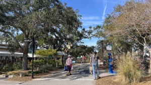
Following the former Atlantic Coast Line rail bed, the Pinellas Trail roughly parallels Alternate US 19.
It connects downtown St. Petersburg with the communities of Seminole, Largo, Bellair, Clearwater, Dunedin, Ozona, Palm Harbor, and Tarpon Springs along its route.

Resources





Disclosure: As authors and affiliates, we receive earnings when you buy through our links. This helps us provide public information on this website.
Overview
Location: St. Petersburg to Tarpon Springs
Length: 37.4 miles linear
Land manager: Pinellas County Parks
Phone: 727-582-2100
Open daylight hours only. Stay right except to pass. Leashed pets welcome.
Ride Details
This is a day use trail through Florida’s most populous county, used by residents for exercise and commuting.
From St. Petersburg north to Largo, the surroundings are very urban. It’s not until you’re north of Clearwater that the corridor has a visual buffer of green space around it.
Hotels are within a mile or two at several points where the trail crosses major highways, and a few adjoin the trail in Dunedin.
There are numerous parks that serve as trailheads with water and restrooms. Camping, however, is not permitted. One commercial campground is trailside in Ozona.
The Pinellas Trail also serves as the westernmost segment of the Florida Coast to Coast Trail, a state-spanning route more than 200 miles to Titusville on the Atlantic Coast.
Trailheads
Progress Energy Park, 180 2nd Ave SE, St. Petersburg
Azalea Park, 72nd Street N, St. Petersburg
Seminole City Park, 7464 Ridge Rd, Seminole
Taylor Park, 1100 8th Ave SW, Largo
Downtown Dunedin, Main St parking lot, Dunedin
Weaver Park, 1258 Bayshore Blvd, Dunedin
Hammock Park, Buena Vista Dr N, Dunedin
Wall Springs Park, Desoto Blvd, Palm Harbor
North Safford Park, Safford Ave, Tarpon Springs

Mileage
0.0,Demens Landing Park, ST. PETERSBURG
2.8,34th Street S, ST. PETERSBURG
4.0,49th Street S, ST. PETERSBURG
6.3,Central Ave, ST. PETERSBURG
7.5,Azalea Park, ST. PETERSBURG
7.8,22nd Ave N, ST. PETERSBURG
10.2,Cross Bayou, PINELLAS PARK
13.4,Seminole City Park, SEMINOLE
15.2,102nd Ave N, SEMINOLE
17.2,Ulmerton Rd, LARGO
18.2,Taylor Park, LARGO
18.7,West Bay Drive, LARGO
20.6,Belleview Blvd, BELLEAIR
22.2,Cleveland Street, CLEARWATER
25.7,Main Street, DUNEDIN
28.2,Curlew Rd, HONEYMOON ISLAND CAUSEWAY
29.8,Tampa Rd, PALM HARBOR
33.0,Wall Springs Park, PALM HARBOR
35.4,Tarpon Ave, TARPON SPRINGS
36.5,North Safford Park, TARPON SPRINGS
37.4,US 19 underpass, TARPON SPRINGS
Trail Map

Explore More!
The Pinellas Trail forms the westernmost segment of the Florida Coast to Coast Trail spanning from the Atlantic to Gulf Coasts. Learn more about the Florida Coast to Coast Trail.
 Florida Coast to Coast Trail With a corridor spanning more than 220 miles across nine Florida counties, the Florida Coast to Coast Trail (C2C) is Central Florida's long distance bike path.
The Friends of the Pinellas Trail advocates for the trail and shares trail information with the public. Volunteers are always welcome. Learn more.
Nearby Adventures
 Eagle Lake Park Now an urban forest in the heart of Pinellas County, Eagle Lake Park is the legacy of the Taylor family, early citrus growers who helped to found Largo
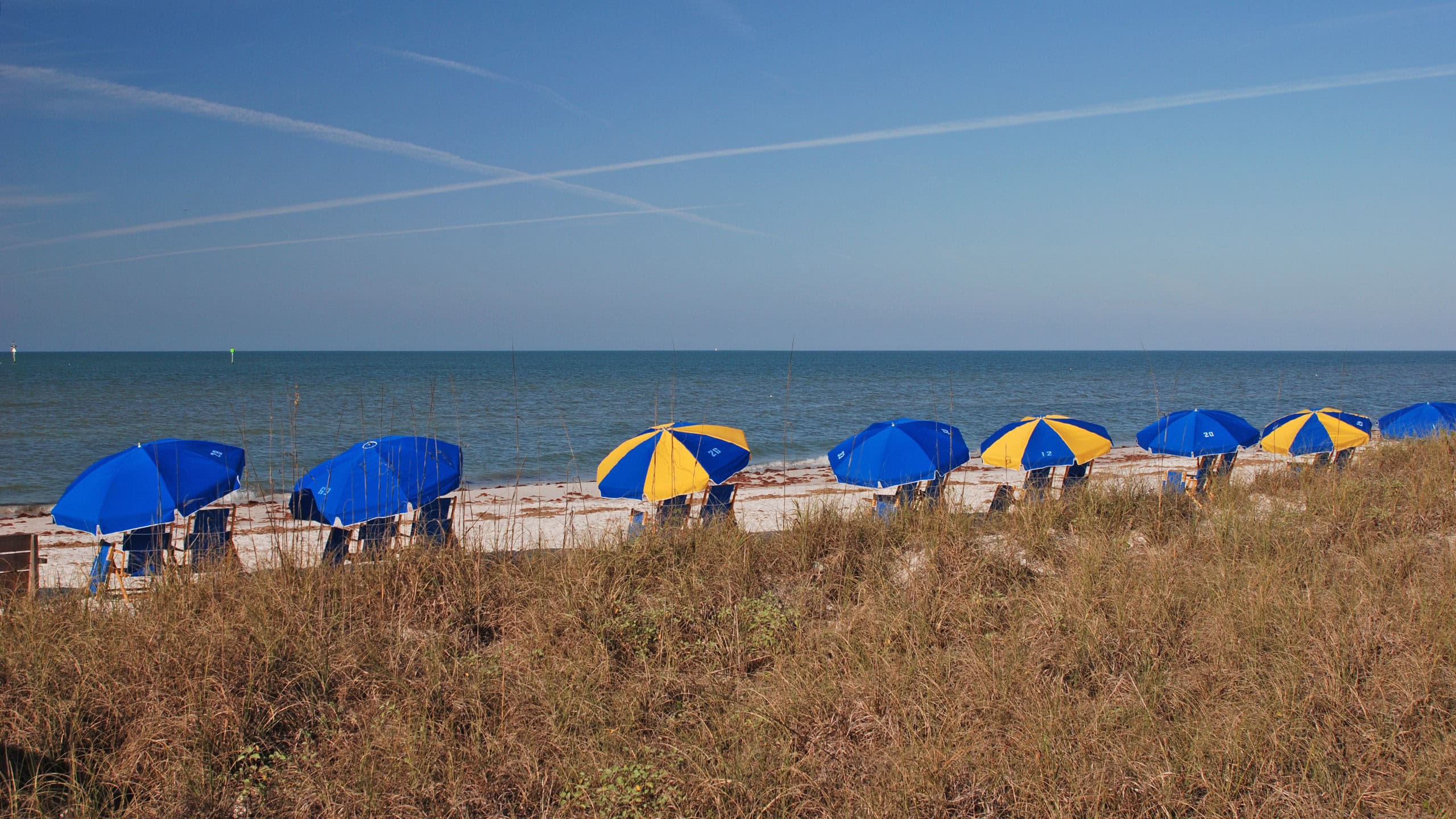 Honeymoon Island State Park An offshore getaway accessible by car, bike, or paddle, Honeymoon Island State Park offers white sand beaches along the Gulf of Mexico.
 Florida Botanical Gardens Walk through the garden gates into a wonderland of sensory stimulation. With nearly 180 acres in the heart of Largo, the Florida Botanical Gardens is a place for peaceful immersion.
 Wall Springs Park Discover the beauty of a historic spring feeding Boggy Bayou and an amazing panorama from an outstanding observation tower on this largely accessible 1.2 mile coastal circuit.

- Hal Scott Red Trail - November 13, 2026
- Baseline Trails - November 7, 2026
- Hal Scott Yellow Trail - November 3, 2026