

One of many conservation lands between Lake Okeechobee and the Atlantic Ocean, Cypress Creek Natural Area protects over 2,000 acres within the Loxahatchee River watershed.
The property is divided into north and south sections, separated by Indiantown Road. On the north side, the smaller Osprey Trail System explores the eastern portion.
The Wild Cat Trail System spans the western half. Designated hiking paths intersect with multiuse trails on raised berms providing a multitude of ways to explore the park.
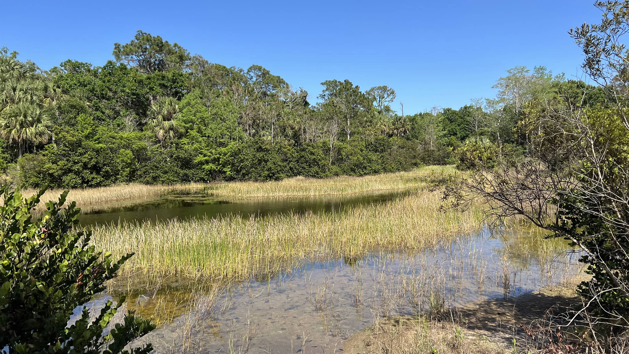
 Overlook along the Historic Jupiter Indiantown Road Trail
Resources





Disclosure: As authors and affiliates, we receive earnings when you buy through our links. This helps us provide public information on this website.
Overview
Location: Jupiter
Length: 5.6 miles
Trailhead: 26.943000, -80.191472
Address: 10035 Indiantown Rd, Jupiter
Fees: Free
Restrooms: None
Land manager: Palm Beach County
Phone: 561-233-2400
Open sunrise to sunset. No pets allowed. Expect wet feet.
Directions
From Interstate 95 or Florida’s Turnpike, exit at Indiantown Rd (SR 706) in Jupiter. Follow Indiantown Rd west for 2.5 miles, passing Riverbend Park and crossing the Loxahatchee River. The parking area is on the right.
Hike
Beginning at the southeastern corner of the parking area, pass through a gap next to a metal gate to start hiking along the Historic Jupiter Indiantown Road Trail.
Yellow blazes mark the route along this old roadbed that connected the two towns for half a century starting in 1900.
 Wild coffee along the trail
In a quarter mile, a short boardwalk leads to an observation deck overlooking a grassy slough.
One of several shelters along the loop, this outlook showcases natural landscapes that once covered large areas of southeast Florida and the Everglades.
Reaching 0.8 mile, the trail passes a smaller pavilion with benches flanked by a pair of cabbage palms.
 Shelter on the Historic Jupiter Indiantown Road Trail
Continue following yellow blazes along a wide straightway, passing cypress domes and wet prairie vistas before reaching an intersection with the Wild Cat Trail at 1.7 miles.
Turning to the right, blue blazes lead the way as a grassy road cuts through dense, shrubby understories of a mesic pine flatwoods community.
 Pine flatwoods
Approaching the 2.3 mile mark, an elevated platform signposted Wild Cat Overlook stands at the edge of an open marsh, providing a birds eye view at the top of the stairs.
While crossing the next intersection in 0.1 mile, it is easy to miss another scenic overlook that requires a short 200 foot detour along the yellow trail.
 Wild Cat Overlook
To avoid the possibility of wet feet, follow the Historic Jupiter Indiantown Road Trail east from this junction, reaching the trailhead in about two miles.
As blue blazes lead into the watershed for Cypress Creek, the trail passes through cypress swamps that are often inundated with water.
 Flooded trail in the cypress swamp
At 3.7 miles, the trail takes a sharp turn to the south, traversing alternating wetlands and low lying pine prairies.
Rising slightly in elevation, reach a shady mixed palm and oak hammock. Blazes are helpful while navigating this patch of subtropical jungle.
Emerge onto the Historic Jupiter Indiantown Road Trail at 5.3 miles. Follow yellow blazes east along the roadbed for a quarter mile to finish the hike at the trailhead.
 Mixed hammock
Trail Map

Explore More!
Video
Hiking the Wild Cat Trail System at Cypress Creek
Nearby Adventures
 Cypress Creek Osprey Trail System Spanning the northeast corner of Cypress Creek Natural Area, marked trails lead to an observation tower and beautifully restored wetland habitats on this 1.9 mile hike.
 Cypress Creek South Restored upland pine forests, cypress swamps, and prairie ponds are on display along a network of trails featuring an observation tower and fishing pier.
 Riverbend Park Protecting the headwaters of the Loxahatchee River, Riverbend Park provides nature, tamed.
 Italian Farms Trail A round-trip through former tomato farms reclaimed by second-growth forest, this multi-use trail through Loxahatchee River Management Area leads to the Masten Dam.

- Calusa Heritage Trail - November 5, 2026
- Scherer Thaxton Preserve - October 21, 2026
- Little Awesome Preserve - October 19, 2026