
Short for Longleaf Ecology and Forestry Society, LEAFS was created as a non-profit in 1993 to showcase longleaf pine ecology.
Owned by John and Mary Lou Winn, the property was donated to the Alachua Conservation Trust in 2022. The preserve is divided into two distinct tracts, each one hosting a loop trail.
 Lake Alto from the North Tract
The North Tract is accessed from Lake Alto Park, an Alachua County property with a boat ramp and its own set of trails.
Situated near the eastern shore of its namesake, the Lake Alto Trailhead of LEAFS Preserve offers a set of intertwined paths, the 0.9 mile Blueberry Trail, and 0.3 mile Lake Edge Trail.
 Along the Blueberry Trail
Resources



Disclosure: As authors and affiliates, we receive earnings when you buy through our links. This helps us provide public information on this website.
Overview
Location: Waldo
Length: 1.2 miles
Trailhead: 29.778389, -82.135139
Address: 17800 NE 134th Place, Waldo
Fees: Free
Restrooms: At the trailhead
Land manager: Alachua Conservation Trust
Phone: 352-373-1078
Open sunrise to sunset. Leashed dogs welcome.
Directions
From the intersection of University Ave and Main St. in downtown Gainesville, head east on University Ave for 0.8 mile before turning left onto SR 24. In 13 miles, turn right onto SW 2nd Pl, and make another right in 0.2 mile to turn onto US 301. Continue for 2.4 miles before making a left onto NE 114th Ave, then another immediate left onto CR 1471. In 1.5 miles, turn left at NE 134th Pl, Lake Alto Park will be at the end of the road in 0.3 mile. The trailhead is in the southwest corner of the parking lot.
Hike
Look for the entrance to the preserve marked by a sign and information kiosk at the southwestern corner of the parking area.
Turn right to begin the hike along a short stretch of the Blueberry Trail, marked with blue diamonds.
 Preserve entrance
Continue straight at a junction with the Lake Edge Trail in a tenth of a mile, following orange diamonds.
The path curves southward through a corridor of sparkleberry, oaks, and loblolly bay interspersed with young longleaf pines.
 Lake Edge Trail
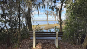
Reaching a quarter mile, take a short detour to the west, following a side path to Lake Alto.
At the end, a perfectly placed bench sits above the shoreline, overlooking glassy waters and a stand of cypress trees draped with Spanish moss.
 Overlook bench
Returning to the main trail, continue for 200 feet, where the Lake Edge Trail ends at a junction with the Blueberry Trail.
Turn right here to explore the rest of this aptly named blue blazed loop.
 Blueberry Trail
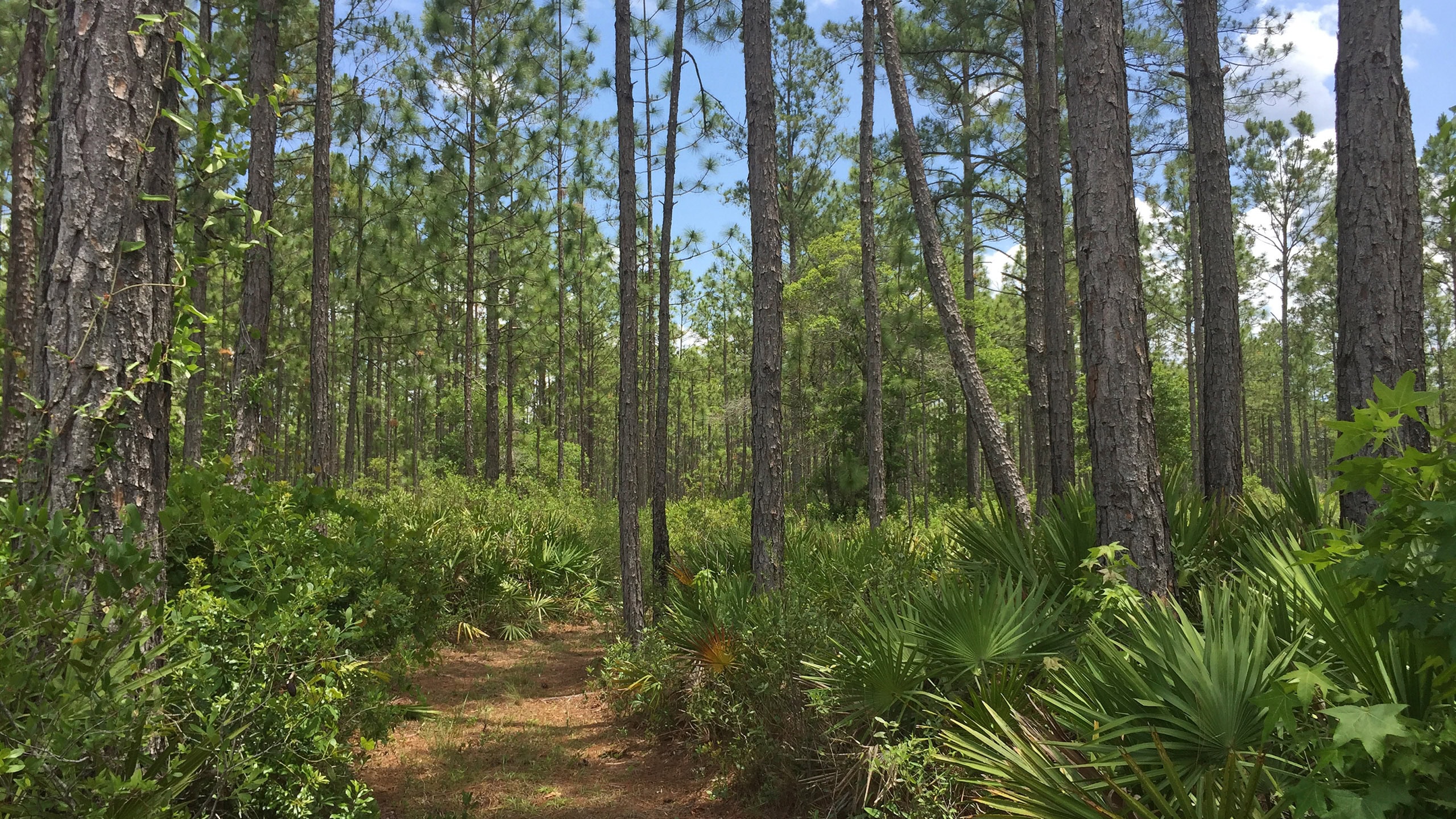
As the path cuts through the forest, rows of planted pines are evident in some spots, while other areas have attractively rewilded, with lush saw palmettos claiming the understory.
Posts with blue arrows mark the route at uncertain intersections. Following a set of squared-off turns back to the trailhead, finish the hike at 1.2 miles.
 Pine forest
Trail Map

Explore More!
Video
Hiking the LEAFS Preserve North Tract
Nearby Adventures
 Lake Alto Preserve North A well-marked system of trails weaves around wetlands and across upland pine forests to a dock overlooking scenic Lake Alto.
 LEAFS Preserve South South of the Lake Alto Canal, a mile loop introduces well-managed uplands of restored longleaf pine flatwoods in the South Tract of LEAFS Preserve.
 Little Orange Creek Preserve Protected uplands and wetlands converge where a set of trails lead to observation platforms overlooking scenic vistas of the Little Orange Creek watershed.
 Gold Head Branch State Park One of Florida's oldest state parks and notable for its Civilian Conservation Corps architecture, Mike Roess Gold Head Branch State Park offers a lesson in Florida topography.

- Wekiwa Springs Hiking Trail - November 17, 2026
- Black Lake Preserve - November 15, 2026
- Oscar Scherer Green Trail - November 11, 2026