

Of more than 17 miles within 1,400 acres encompassed by Oscar Scherer State Park, the South Creek and Lester Finley Trails are among the oldest and gentlest.
Heading in opposite directions from South Creek Picnic Area, they illustrate the transition of the creek from blackwater stream to mangrove-lined brackish waterway.
 View from a picnic table along the Lester Finley Trail
Starting by the handicapped parking spaces at the picnic area, the half-mile linear Lester Finley Trail is a top-notch example of a barrier-free trail.
Outlined by boards, it has a hard-packed surface, numerous benches, and “talking rangers” providing interpretation at the push of a button.
 Rest stop in a coastal hammock
A secondary trailhead with more limited parking lies immediately inside the park, just past the ranger station on the right.
With connectivity to the South Creek Trail and the park road, this hiking-only path can be incorporated into a longer loop of the trail system.
 Access point near ranger station
Resources



Disclosure: As authors and affiliates, we receive earnings when you buy through our links. This helps us provide public information on this website.
Overview
Location: Osprey
Length: 1.1 miles
Trailhead: 27.171729, -82.470336
Address: 1843 S. Tamiami Trail, Osprey
Fees: $5 per vehicle
Restroom: At the trailhead
Land manager: Florida State Parks
Phone: 941-483-5956
Open 8 AM to sunset. Leashed dogs welcome. Foot traffic only. A water-bottle filling station is halfway along the trail.
Canoe and kayak rentals are available at the South Creek Picnic Area, where the launch is located. The South Creek Trail starts at the north end of this picnic area.
Directions
From Interstate 75 northbound, take exit 195, Nokomis / Laurel, and follow Laurel Road west 3.2 miles to US 41. Turn right and head north 2.5 miles into Osprey. The park entrance is on the right just after you cross South Creek. Southbound on I-75, take exit 200, Venice/Osprey. Continue 3.8 miles west on SR 681 to US 41. Drive north on US 41 for 1.7 miles; the park entrance is on the right. Continue to the turnoff into South Creek Picnic Area on the right.
Hike
Start the hike at the southwest corner of South Creek Picnic Area. A large sign calls attention to the start of the trail.
Leaving the picnic area, turn to follow the creek’s flow towards the Gulf of Mexico along a shellrock path past the blooms of coral bean in a corridor of saw palmetto.
 Trailhead at South Creek Picnic Area
Becoming pavers where the ground may otherwise be soft, this interpretive path reaches a bench facing an almost ground-level peek at the creek through a screen of red mangroves.
Walk through a palm hammock to an observation deck stretching out into the creek. Manatees are sometimes spotted here in the summer months.
 Upstream view from the deck
Edging the tangle of red mangrove prop roots through a curve, continue beneath the cover of the creekside oak hammock to a bench in dappled shade.
Scrubby flatwoods open up before a series of curves under the oaks. Cabbage palms border a brief stretch of boardwalk.
 Palm boardwalk
A triangle of butterfly garden hosts labeled butterfly attractants. Curve past a bench next to a talking ranger around the base of a massive pine to a picnic bench.
It’s atop a slice of bluff with a nice view of the creek. An interesting meld of habitats in the understory places wild coffee next to a myrtle oak.
 Butterfly garden
Among more towering pines, cross a footbridge at a quarter mile. The footpath to the right connects to the park road.
In the pine flatwoods beyond is another picnic bench and a water bottle filling station. Across from it, a bench faces a wall of mangroves.
 Picnic bench with water station
Resume the walk through the oak and palm hammock, curving up to a V-shaped trail junction with benches.
Bear right, weaving through the hammock to where a side trail leads to the ranger station at the park’s front entrance.
 Side trail to ranger station
This extension of the trail has benches and interpretation including the “talking rangers” along it, so take the right to follow it through the hammock.
The spur ends within sight of the ranger station. Return the way you came to resume the loop a half mile into the hike.
 Returning along the side trail
Walk beneath a canopy of red cedars, reaching a mangrove-lined peninsula at creek level.
Salt-loving plants including sea oxeye cover the ground beside the graded walkway. Entering a palm hammock, duck between low-hanging fronds.
 Mangrove peninsula
Finish the loop at the tip of the Lester Finley Trail by coming back to the V-shaped trail junction.
Follow the sign pointing towards the picnic area and canoe launch, returning to the trailhead to complete a 1.1 mile hike.
 V-shaped junction
Trail Map

Explore More!
Learn more about Oscar Scherer State Park
 Oscar Scherer State Park A stronghold for Florida scrub-jays north of Venice, Oscar Scherer State Park is an important island of biodiversity in an increasingly overdeveloped region.
 Video
Hiking the Lester Finley Trail
Slideshow
See our photos from the Lester Finley Trail
Nearby Adventures
 South Creek Nature Trail Delight in scenic views and lush vegetation along this well-worn footpath along the bluffs of South Creek at Oscar Scherer State Park.
 Lake Osprey Trail Central to trailhead access at Oscar Scherer State Park, the Lake Osprey Trail is an accessible loop around artesian-fed waters behind the nature center.
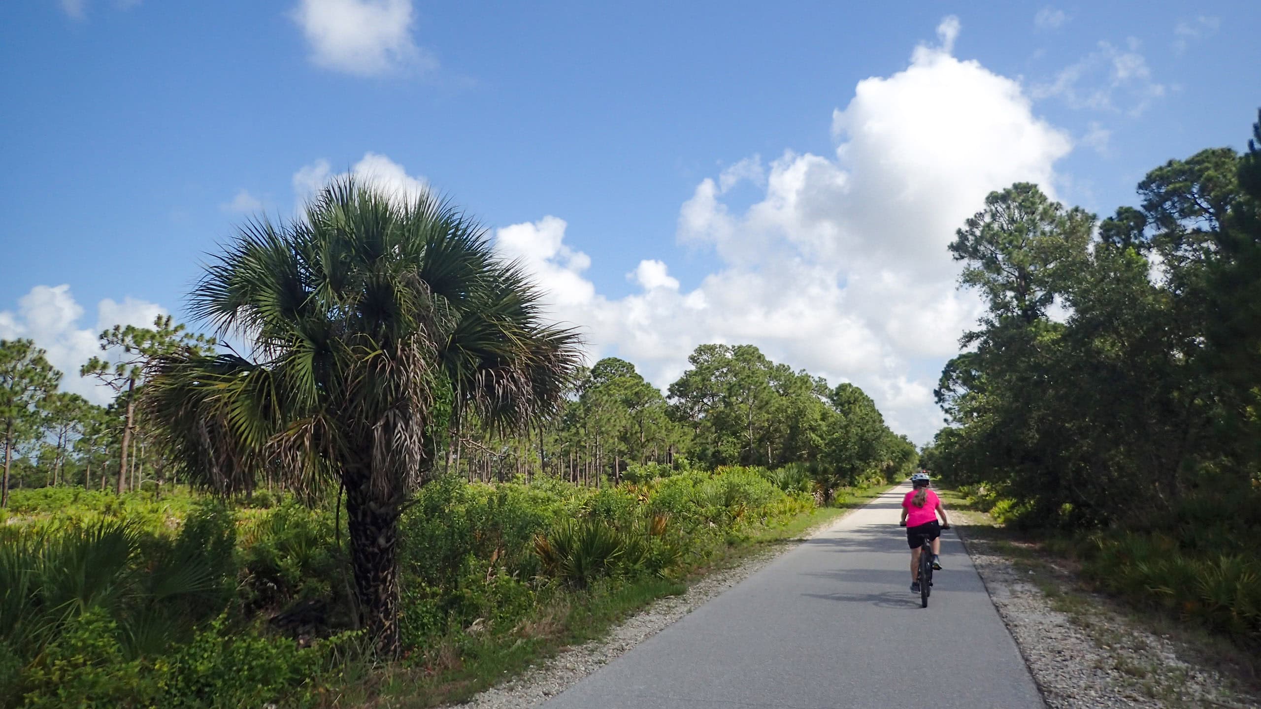 The Legacy Trail Connecting Venice and Sarasota, one of Florida's finest paved trails provides a corridor for biking and hiking along a historic railroad line.
- Lester Finley Trail - August 5, 2026
- South Creek Nature Trail - August 3, 2026
- Ormond Central Park - August 3, 2026