
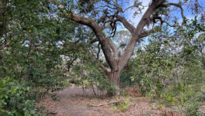
Blanketing 90 acres within city limits, Hammock Park is a wonderland of botanical diversity owned by the City of Dunedin.
While the hardwood hammock is expected, there are patches of sandhill and scrub, a bayhead with enormous trees, and a rim of mangrove forest, all within a mile of each other.
 Uplands in the center of the park
Providing infinite combinations of possible loops, the network of trails maintained by local volunteers burrows deep under a generally lush canopy.
While the forests were dented by hurricanes, they are largely in fine form. Our 2.8 mile loop starts within sight of the Pinellas Trail and spans the breadth of the park.
 The Fern Trail crosses a bayhead swamp
Resources





Disclosure: As authors and affiliates, we receive earnings when you buy through our links. This helps us provide public information on this website.
Overview
Location: Dunedin
Length: 2.8 miles
Trailhead: 28.035204, -82.784409
Address: 1900 San Mateo Dr, Dunedin
Fees: Free
Restroom: At the main parking area
Land manager: City of Dunedin
Phone: 727-812-4530
Open sunrise to sunset. Leashed dogs permitted. The paved Osprey Loop and the boardwalks off of it are accessible. Cyclists welcome except on the boardwalks including the Fern Trail.
Directions
From the intersection of Main St and Broadway (Alt US 19) in downtown Dunedin, drive north on Broadway for 1.5 miles. Turn right on Mira Vista Dr, then left in 0.2 mile on Douglas Ave. Continue 0.2 mile to the entrance to Hammock Park. Two entrances flank the corner where the historic Andrews Methodist Church stands. A smaller lot along the accessible Osprey Loop is straight ahead, while the larger main parking area is to the right.
Hike
As both parking areas touch the Osprey Loop, it’s the best place to begin. At the main parking area, use the trail entrance across from the Butterfly Garden.
Entering the palm hammock on a paved pathway, bear left. Emerge at a picnic shelter at the edge of the upper parking area within a tenth of a mile.
 Starting point at main parking area
Leave the paved loop for a boardwalk starting near the accessible parking spaces, spanning rough ground into an oak hammock.
The boardwalk reaches a T with one along an arm of tidal Cedar Creek. Behind the mangroves across the water, cyclists whiz by on the Pinellas Trail.
 North end of boardwalk
Explore both directions on the boardwalk. At the south end of the basin, red mangroves line what are clearly manmade earthen piles from creating this waterway.
Turning a corner after a tenth of a mile, the boardwalk ends at a paved path connecting the Pinellas Trail and Hammock Park.
 Boardwalk along Cedar Creek
Backtrack along the boardwalks to the Osprey Loop and make a left on the paved trail.
Tucked into a mangrove-fringed curve of Cedar Creek, this grassy picnic area has benches in the shade of large live oaks. A disc golf course weaves across the landscape.
 Picnic area
Beyond a picnic shelter, a spur trail leads left to an observation deck above the creek. Resume the loop, passing another picnic shelter.
Leave the Osprey Trail at a half mile by turning left onto a boardwalk adjoining an outdoor ampitheater.
 Ampitheater junction
Heading into the mangroves, cross over sandy flats where low-growing salt-loving species thrive.
At a T in the boardwalk, turn left to cross Cedar Creek on a bridge.
Low water reveals the prop roots of red mangroves intertwining along its muddy banks.
 Cedar Creek
Tunnel into the mangrove forest, the boardwalk reaching an observation platform overlooking the creek.
Meet the junction with the Cedar Trail, the end point of accessible surfaces. Turn right.
 Observation deck at Cedar Creek
A linear footpath coming in from a walk-in entrance to the north, the Cedar Trail weaves through a palm hammock where wild coffee thrives in the understory.
A bridge spans a mangrove-lined tributary flowing towards Cedar Creek. Cedar trees grow on slightly elevated ground.
 Bridge over tributary
Expect some mucky conditions in low spots as the inky waters of the tributary glisten under nearby mangroves.
Curving around a bench, walk through a semi-tropical understory beneath the palms and some large live oaks up to a metal bridge.
 Sturdy bridge across ditch
Cross a deep ditch that parallels the broad Skinner Trail. At that T, 0.7 miles into the hike, make a left. A right leads back to the main parking area.
Heading east briefly along the Skinner Trail, take a right at the next turn-in at the Oak Trail, quickly immersing in the hammock that defines Hammock Park.
 Oak Trail turnoff
Mature live oaks make up the high canopy. Although their upper branches are somewhat stripped by hurricane winds, they’ll fill out again.
Marlberry dots the understory, shiny leaves gleaming under the cabbage palms. The skunky aroma of white stopper infuses the air.
 Oak Trail
Meeting a T intersection with a bench, make a left on the Cline Trail. Walking under the live oaks, quickly reach a T with the Palm Trail.
Like the Skinner Trail and the Grant Trail, it’s a backbone for making loops within the trail system. Turn right to follow it south.
 Walking towards the Palm Trail
A well-defined corridor in the shade of the hammock, it has interpretive signage at key spots and an ever-thickening understory surrounding it.
Pass by the Fern Trail boardwalk at 0.9 mile; that’ll be your return route for this loop. At the Kettles Trail West sign, turn right.
 Kettles Trail West turnoff
A brief horseshoe of a loop, it burrows deeper into the lush understory, with the most tropical feel of any of the trails. Dark earth is a heads-up the footpath can get muddy.
At a broad but unmarked junction, bear right for a brief side trip to a boardwalk over a bayhead drainage. Enormous bay trees rise above sword ferns and wild coffee.
 Bayhead drainage
Backtrack to Kettles Trail West to resume its loop. Exit onto the Palm Trail at 0.9 mile at an unexpected corner of coastal pine flatwoods.
Make a right, entering a brief tunnel created by a low canopy in the coastal hammock. It opens up into scrubby flatwoods with longleaf pines.
 Island of scrubby flatwoods
Forking off to the right, the Highland Trail enters the Hammock Park Expansion, where hickories joining a mix of hardwoods in this drier part of the hammock.
At 1.3 miles, it’s a bit of a surprise when this trail emerges at a signpost behind a row of houses. Turn left on the Grant Trail.
 Hammock Park Expansion
Slipping along the edge of a backyard, this perimeter trail takes a sharp corner to parallel a ditch northbound.
Past a junction with the Gopher Trail, bear left on the Palmetto Trail to make another interior loop.
 Palmetto Trail turnoff
A spur path to the right ends in a clearing with a bench beneath the regal spread of a large live oak.
In the shade of this upland hammock, make a right at the T with the Gopher Trail.
 Live oak clearing
Amble down the wooded corridor, passing the Highland Trail junction to backtrack into the flatwoods.
Passing Kettles Trail West, make a right onto Kettles Trail East at 1.7 miles.
 Palm Trail before Kettles Trail turnoffs
Another shift in habitats occurs along this footpath, a slow segue from uplands with massive oaks towards the rim of a large bayhead.
A sweetbay with a sizable trunk stands tall above the surrounding canopy.
As the earth underfoot darkens, a swampy thicket takes over the forest on the north side of the path.
 Towering sweetbay
Beyond a bench under a live oak, the fern-edged treadway may be muddy. Views open up into the bayhead, home to many towering bay trees.
The tallest of the oaks rising from the sea of ferns along the edge of this forested wetland have flaring, fluted bases to their trunks, similar to cypress trees.
 Curve around a fallen tree
Gaining elevation, ascend into an oak hammock with a dense understory of saw palmetto. Emerging at a broad junction with the Grant Trail, turn left.
Walk past a bridge carrying the Harris Trail into another stretch of hammock to a parking area for the park to the east.
 View north from Harris Trail bridge
No longer looking like a ditch, the stream adjoining the Grant Trail has a more vigorous flow.
Thick-trunked bay trees stand tall across from it and beyond it, illuminating how this landscape has been reshaped in the past.
 Grant Trail
At the next bench, face the source of the creek, a forested wetland.
It’s busy with wax myrtle and giant leather ferns. The trail-paralleling channel continues up to a weir.
 Freshwater wetlands
While obviously a rectangular pond on satellite maps, freshwater Lake Suemar looks very natural at its outflow point.
A bench overlooks this nice spot for birding. Just past it, turn a sharp corner to join the Skinner Trail.
 Outflow of Lake Suemar
The Skinner Trail adjoins a ditch separating the park from ballfields at a school. At 2.1 miles, make a right on the Fern Trail.
A boardwalk, the Fern Trail descends into the heart of the bayhead. Marsh ferns carpet the moist understory beneath the tall trees.
 Fern Trail
Pass by enormous rootballs of dark earth where bay trees tipped over during the hurricanes.
Beyond a bench, zigzag through the bayhead to hover above a drier forest floor.
Puddles under the trees draw attention to the marsh between this trail and Kettles Trail East.
 A herbaceous marsh spans between the trails
Palm fronds frame a transition into the upland forest and the end of the boardwalk.
Emerging onto the Palm Trail, turn right onto a familiar passageway. Backtrack to the Cline Trail, making a left at 2.4 miles.
Pass straight through its junction with the Oak Trail, winding through the hammock.
 Palm Trail to Cline Trail junction
The Cline Trail draws close to the park boundary as it curves north to end at the Skinner Trail. Turn left to exit the trail system.
Passing the Sugarberry Trail, another neighborhood connector, walk by a trailhead kiosk into a shady picnic area where the playground and restrooms are located.
 Exit towards playground
If you’re parked in this lot, at 2.8 miles, you’ll see your vehicle. If you parked at the upper parking area and started there, it’s another tenth of a mile via the Osprey Loop.
You can also walk out the entrance road past the historic Andrews Memorial Chapel to return to it, working out to the same overall distance.
 Historic church
Trail Map

Explore More!
Learn more about the Pinellas Trail
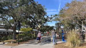 Pinellas Trail A paved ribbon stretching the length of Pinellas County from St. Petersburg to Tarpon Springs, the Fred Marquis Pinellas Trail provides nearly 38 miles of low-stress cruising.
Video
Hiking Hammock Park
Slideshow
See our photos from Hammock Park
Nearby Adventures
 Gladys E Douglas Preserve A series of short trails explore rare scrub communities within the last known rosemary bald habitat in Pinellas County.
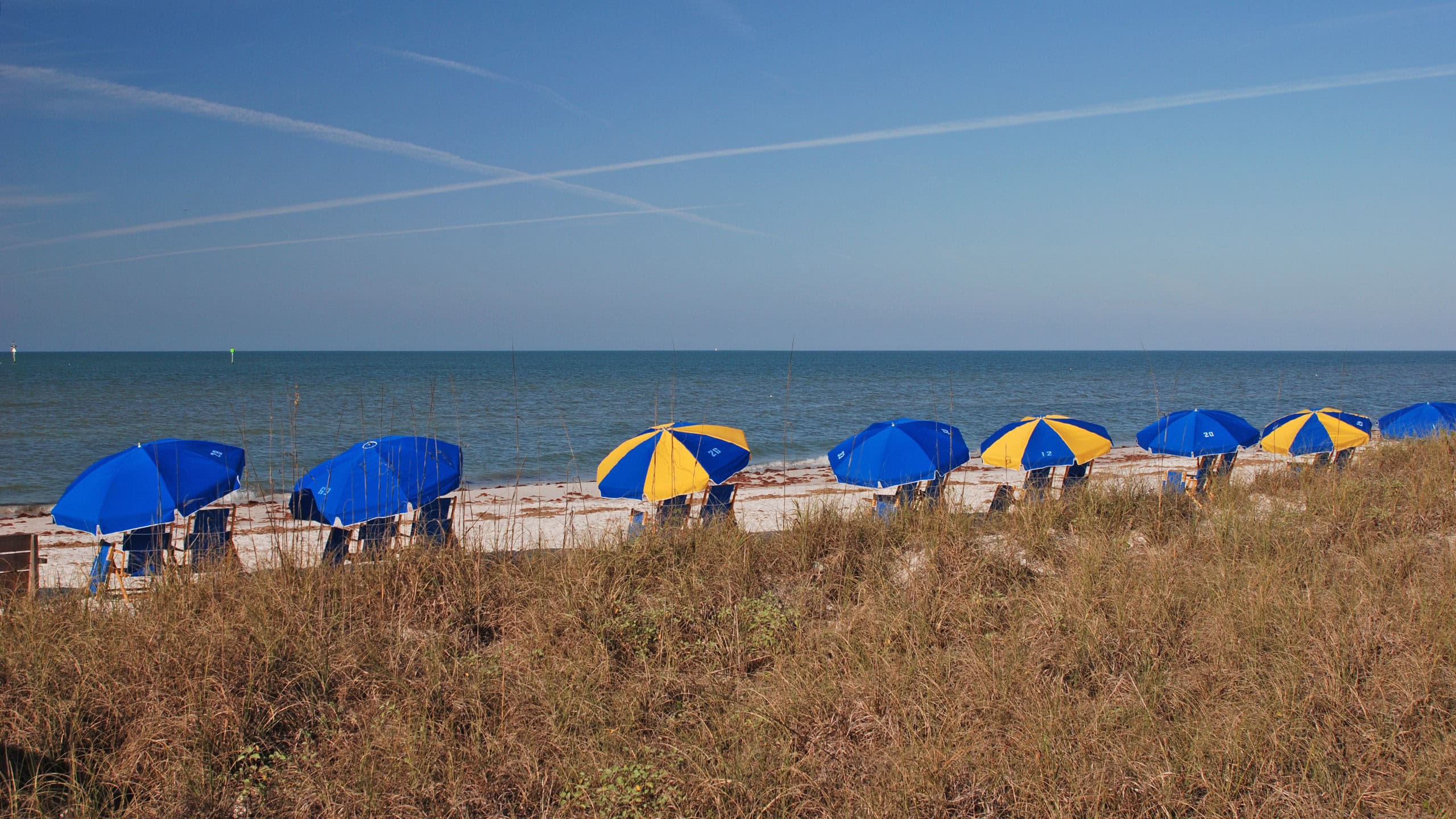 Honeymoon Island State Park An offshore getaway accessible by car, bike, or paddle, Honeymoon Island State Park offers white sand beaches along the Gulf of Mexico.
 Caladesi Island State Park Protecting a windswept shoreline and a variety of habitats on a barrier island, Caladesi Island State Park is one of the gems of the Florida State Parks system.
 Wall Springs Park Discover the beauty of a historic spring feeding Boggy Bayou and an amazing panorama from an outstanding observation tower on this largely accessible 1.2 mile coastal circuit.

- Michael Crotty Bicentennial Park - November 3, 2026
- A.J. Henry Park - November 1, 2026
- Okeeheelee Nature Center Trails - October 22, 2026