
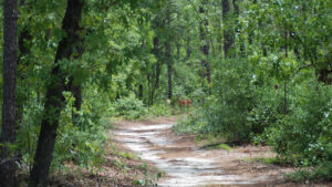
Silver River State Park is one of the few state parks where you’ll run into hikers on every trail at any time of day.
The park features a campground and beautiful cabins, a 5 mile mountain-bike trail, canoe rentals, and even a pioneer village to explore.
Still, hiking is the primary activity at this popular park. The Sandhill Trail anchors the southwest corner of the park’s extensive trail system.
It’s a 1.7-mile loop through a longleaf and wiregrass sandhill habitat, on the high ground near the park entrance.
 Archway at trailhead
Resources




Disclosure: As authors and affiliates, we receive earnings when you buy through our links. This helps us provide public information on this website.
Overview
Location: Silver Springs
Length: 1.7 miles
Trailhead: 29.201433, -82.049567
Address: 1425 NE 58th Avenue, Ocala
Fees: $5-8 per vehicle
Restroom: At the picnic area
Land Manager: Florida State Parks
Phone: 352-236-7148
Open 8 AM to sunset. Leashed dogs welcome. Cyclists share these trails.
After you complete the hike, drive along the park road up to the main parking area for the main trailhead.
Open only on weekends, the museum (additional nominal charge) presents in-depth information on geology, paleontology, and the natural and human history of this region.
Directions
From Interstate 75 exit 352 for Ocala, follow SR 40 for 8.4 miles through Ocala to Silver Springs. Turn south on SR 35, driving another 1.1 miles to the entrance to Silver Springs State Park on the left. The trailhead is immediately on the left after you pass through the ranger station.
Hike
The trail starts under a large archway just beyond the entrance station. It leads into an upland area of turkey oaks and young longleaf pines.
Beyond the first jeep road crossing, the forest opens up, showing off an understory of wiregrass and young longleaf.
 Following yellow posts
You’ll see plenty of woodpeckers, too. Keep alert for trail signs indicating the route, as many unmarked side trails intersect the loop.
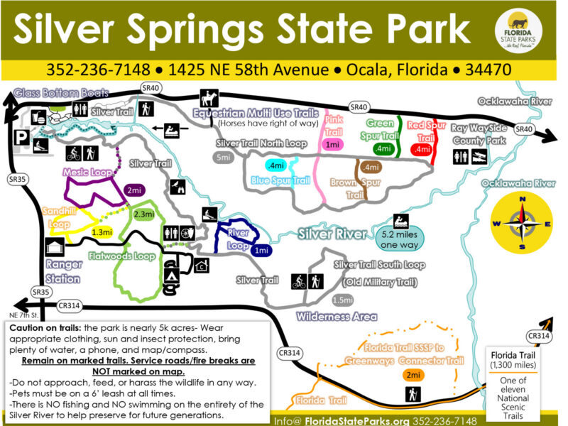
At 0.6 miles is the junction with the Sinkhole Trail, newly renamed the Flatwoods Trail. Turn left to stay on the Sandhill Trail.
 Grassy area
Emerging into an open area, the trail makes a left, then turns off to the right to head downhill under the shade of live oaks, skirting clumps of saw palmetto.
At 1 mile, the trail turns left onto a two track trail. It then turns on another to the right. You can hear nearby traffic on Baseline Road.
Turning left twice, the footpath reconnects with the firebreak you first encountered at the start of the hike, completing the loop.
 Exit point
Trail Map
Explore More!
Learn more about Silver Springs State Park
 Silver Springs State Park One of the world's largest and deepest springs, Silver Springs pours out more than 550 million gallons of water daily, forming the Silver River.
Nearby Adventures
 Silver Springs Mesic Loop Bridge the two sides of Silver Springs State Park using the Ross Allen Island Boardwalk as a gateway to a longer walk in the woods via a new bridge over the Fort King Waterway.
 Silver Springs River Trail Discover the wonder of the floodplain of the lower Silver River on a 2.3 mile hike to a river overlook and a loop through through its lowlands.
 Silver Springs Springside Trails Step back in time at the former Silver Springs attraction exploring its far corners on the Ross Allen Island Boardwalk Trail and the Creek Trail.
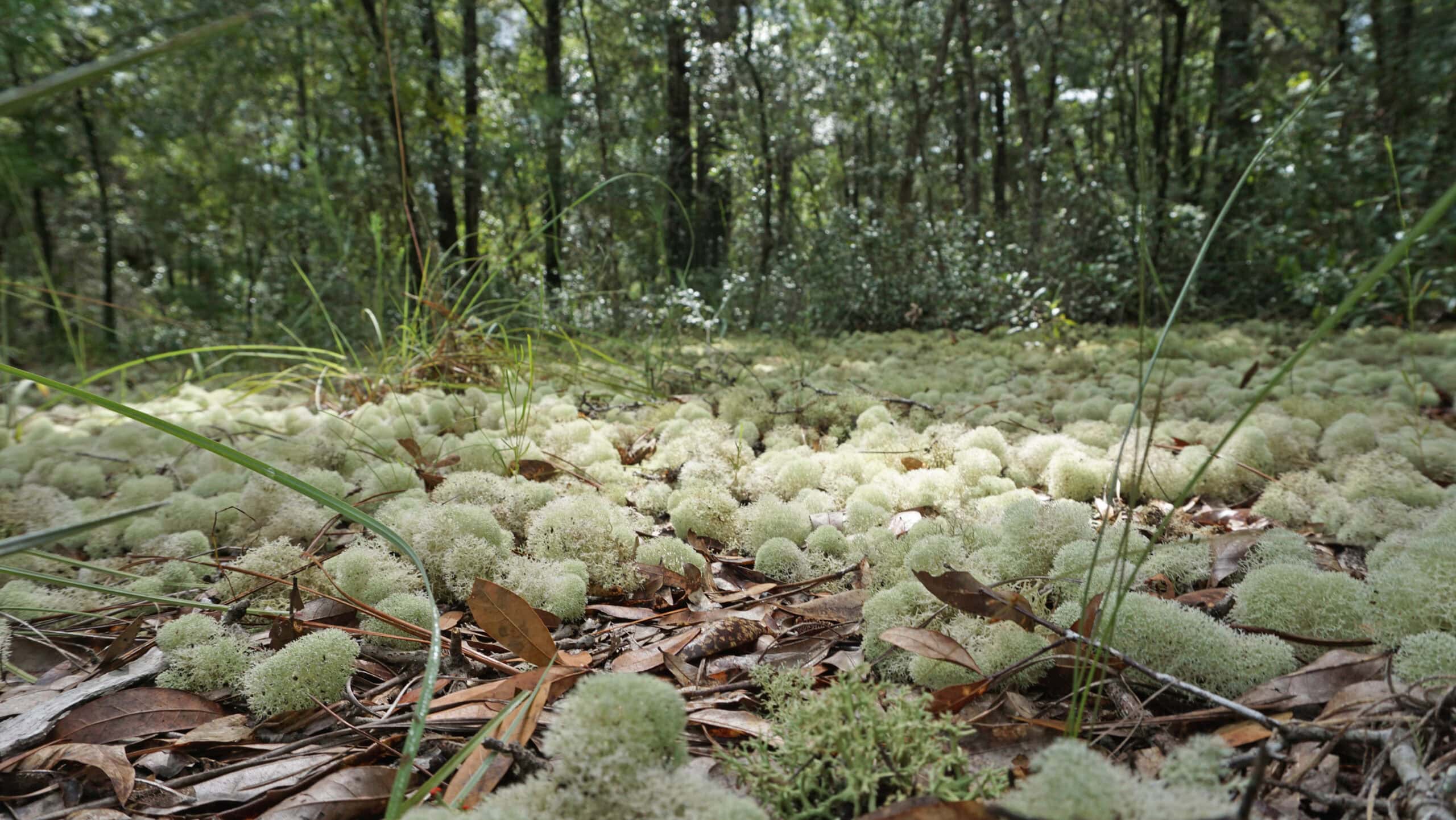 Silver Springs Conservation Area Silver Springs Conservation Area protects upland habitats crucial to recharge of Silver Springs. Two stacked loop trails (with a cross-trail on the upper loop) provide several options for hiking.

- Hal Scott Red Trail - November 13, 2026
- Baseline Trails - November 7, 2026
- Hal Scott Yellow Trail - November 3, 2026