
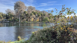
Adding mileage to a meander through the gardens of the original Silver Springs attraction, two trails at Silver Springs State Park explore riverside forests.
Replacing the 1970s infrastructure on Ross Allen Island, the fully accessible Ross Allen Island Boardwalk Trail makes an easy loop around the island.
 Descending to Ross Allen Island
Following the route of the former Jeep Safari ride, the Creek Trail loops through upland and floodplain forest.
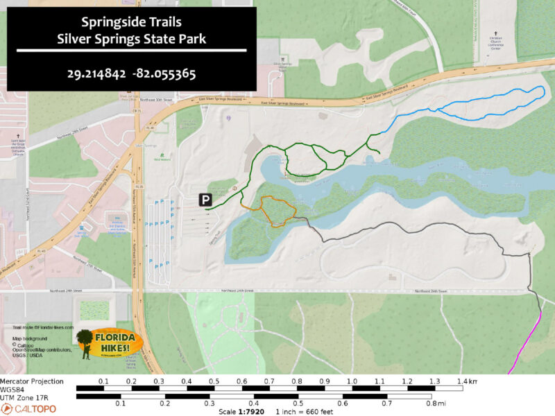
While you can tackle them separately, combining these two trails with a loop through the riverfront gardens yields a 2.3 mile hike.
 Creek Trail
Resources




Disclosure: As authors and affiliates, we receive earnings when you buy through our links. This helps us provide public information on this website.
Overview
Location: Silver Springs
Length: 2.3 miles
Trailhead: 29.214842, -82.055365
Address: 5656 E Silver Springs Blvd, Silver Springs
Fees: $5-8 per vehicle
Restroom: Several within the park
Land Manager: Florida State Parks
Phone: 352-236-7148
Open 8 AM to sunset. Leashed dogs welcome. Cyclists share the Creek Trail.
The Ross Allen Island Boardwalk Trail is fully accessible, as are the garden paths. The Creek Trail is natural surface.
If you plan to ride a glass-bottomed boat, purchase tickets at the entrance station. Come early, as they sell out quickly.
While it’s unlikely you will see the wild rhesus monkeys that roam the river forests, stay well away from them and do not feed them if you do.
Directions
From Interstate 75 exit 352, follow US 40 east 8.5 miles through Ocala into Silver Springs. Soon after the traffic light with SR 35 (Baseline Rd), the turn-in to Silver Springs State Park is at a grand entrance on the right. Follow the entrance road signs to the parking area adjoining the classic archway entrance into the former attraction.
Hike
Walk beneath the main entrance archway of the former Silver Springs attraction across a broad boardwalk under towering ancient cypresses.
One has a bench built into a hollow in its trunk. This nature-attuned entrance was part of a 1970s makeover of the park that displaced the original Ross Allen Reptile Institute.
Peer into the inky water below to see large cypress knees and wooden posts that once supported a catwalk boardwalk through this swamp.
 Entry archway
The mid-century modern buildings housing restrooms and offices were formerly the reptile house.
In the 1970s, the Ross Allen Reptile Institute was relocated and re-imagined with the eco-consciousness of the era.
The first trail explores its final location. Pass through the entrance station and turn right to walk the Ross Allen Island Boardwalk Trail, an easy 0.3 mile loop.
 Path from spring overlook to Ross Allen Island
Diverging from the Springs Trail just beyond their shared trailhead kiosk, the boardwalk begins by bridging spring-fed waters where paddlers pass below.
The launch is upstream along the Springs Trail, just out of sight. Descending from this high point, curve into the floodplain forest.
Reaching a T intersection, turn right to start a counterclockwise circuit of the island.
 Below the bridge
In the attraction’s final few decades, the forest directly below the junction housed a herd of capybara, the world’s largest rodents, within a large enclosure looped by a boardwalk.
Excepting the two structures remaining along this walk, all of the infrastructure on this island was perched on wooden platforms above the floodplain.
The boardwalks between the buildings helped hide the fencing between the animal enclosures below.
 Giant tortoise enclosure in 2006 (Linda Friend)
With the revamp of this boardwalk, no trace remains of the reptile house, gift shop, restrooms, or the snack bar with its picnic tables.
Gently descending, the boardwalk squiggles around a curve to front the Fort King Waterway.
 The Fort King Pavilion is one of two original structures remaining on the island
Paddlers now ply this spring-fed channel, but it was formerly the domain of the last generation of the park’s Jungle Cruise.
The roofed Fort King Pavilion served as the boat dock for a trip past large enclosures housing animals typically seen at zoos, including zebras and rhinos.
 Paddlers noticing a water moccasin swimming
Sweeping upward from the waterway, follow a curve under towering oaks and cypress.
The interior enclosure in this area was the largest on the island, housing a healthy population of alligators. Now the view is of natural habitats, the waterway in the distance.
 Alligator enclosure in 2008 (Linda Friend)
At a point where a picnic area formerly hugged the shoreline, a boardwalk now rises into the tree canopy.
Ascend to its sharp turn to parallel the Fort King Waterway to a bridge. Its outstanding height allows fabulous views up and down the cypress-lined channel.
 View upstream from the new bridge
On the opposite shore, the boardwalk descends, ending at a packed path leading to a kiosk.
This is a junction for the Silver Trail, which links across the entire park to the Silver River Museum and campground.
Turn around to stay on the springside trails, taking in the views of paddlers below for a second time.
 Downstream view
Meeting the loop boardwalk, turn right. Curving around the far end of the island, face a large roofed structure, the former Wildlife Theater.
This was where the last generation of Ross Allen’s assistants introduced visitors to alligators and snakes in hands-on presentations.
Note the cypress knees jutting through the stage decking. Beyond a line of tall cypress, the Silver River provides a backdrop.
 A unique outdoor theater
Continue along the boardwalk as it keeps up its curve through the trees, meeting the initial junction.
Turn right to exit, pausing for one more look over the bridge to the kayakers (and perhaps manatees) below before the Ross Allen Boardwalk Trail ends.
 Manatees and kayakers
To reach the Creek Trail requires a full traverse of the springs area and gardens. Leaving the boardwalk, bear right and walk past the picnic tables.
Take a spur path on the right, dead-ending at a split-rail fence above the river’s edge.
Until the 1970s, this spot was the park’s swimming area. Along with a terraced sandy beach, floating wooden platforms were anchored in the river.
 Former swimming area
Return to the main walkway along the mid-century modern Terrace Shops, redesigned after a fire in 1955 by architect Victor A. Lundy.
Winning a national award in 1959, they’ve been remodeled several times and now shouse a visitor center, gift shop, snack bar, and history displays.
 Terrace Shops
Fronting the river is the dock for Silver Springs famed glass-bottomed boats. Today’s fleet derives from a long line of innovations started in the 1880s.
Passengers face the center (and each other) to look down into the glass window in the middle.
 Glass-bottomed boats
At the end of the Terrace Shops is a small garden with a Silver Springs sign and the current year, a popular stop for photos. It once fronted the Prince of Peace Chapel.
Like the Early American Museum filled with antique cars, the chapel is well in the park’s past. The grand riverfront gardens, however, have persisted.
Planted more than seven decades ago beneath tall cypress and oaks along the Silver River, they extend nearly a quarter mile.
 Crossroads Garden
Saving the often-busy springs observation deck for last, start a clockwise walk through them. Bear left at the Crossroads Garden.
Beneath ancient cypresses and pines, the broad concrete path leads under a series of wooden arbors. Depending on the season, they may be draped in colorful blossoms.
 Arbors
A park-like expanse surrounds the pathway, with neatly trimmed grass and flower beds.
At the Camellia Garden, these waxy-leafed shrubs cluster in beds under the cypress. Pass a turnoff in the path before the final arbor.
 Camellia Garden
Looming beyond an open grassy area to the north is an amphitheater where big-name outdoor concerts were held in the attraction’s later years.
At the Wildflower Garden, a grassy natural surface play area tempts the wee ones with stepping stones and sliding down the tongue of an oversized frog.
 Nature play area
Curving around the Wildflower Garden, come to a T intersection and make a left. Reach the Creek Trail kiosk a half mile from the parking area by a direct walk, or a mile into this hike.
Shared with cyclists, it’s marked as an easy route. On the opposite side of the kiosk are details about many of the movies filmed at Silver Springs.
 Trailhead kiosk for the Creek Trail
Uphill is a large picnic pavilion which formerly served as the station for the Jeep Safari ride. It replaced a 1960s-era petting zoo, Tommy Barlett’s Deer Ranch.
After the Jeep Safari ended and before the attraction closed, bears and giraffes attracted visitors to this end of the park.
Restrooms are beyond the pavilion. Follow the path outlined with green posts and arrows along a worn track created by the Jeep Safari ride.
 Giraffe enclosure in 2008 (Linda Friend)
Signs point the way into the forest, the floodplain richly carpets in vines and ferns. The pathway sweeps close to the park’s perimeter, so traffic noise is persistent.
Walk past a cluster of elephant ear plants with enormous leaves. Towering oaks form a high canopy over the forest.
Ferns edge the pathway on the approach to the first trail junction. Keep left, ascending into a hardwood forest.
 Fern-lined path
Hickories and sweetgum sport autumn colors at Christmastime. Southern magnolias add distinct dark greens to the otherwise muted winter landscape.
Reach a second junction in the Creek Trail, this one for its upper loop, 0.3 mile from its start at its trailhead kiosk. At the time of our visit, the upper loop was taped off.
A park ranger explained work was underway to build a bridge over Half Mile Creek to connect this trail system with the existing equestrian trail system beyond.
 Curving inner loop
Curve past it in a descent towards the floodplain forest. Past the incoming side of the upper loop, continue through a curve under a stand of cabbage palms.
The sky opens up above an area where the pathway takes a dip. This was once the “thrilling” part of the Jeep Safari where your vehicle plunged through “alligator-infested” waters.
 The Dip
Past the low spot in this lush bottomland forest, the fern-edged path steadily gains elevation. At the T junction, complete the lower loop.
Make a left. Walk out of the hardwood hammock, staying with the low path upon emerging at the grassy area.
 Approaching the trail junction
At 1.7 miles, complete your circuit of the mile-long Creek Trail with a return to its trailhead kiosk. Turn left to walk towards the Sea Hunt dock.
Pause at an opening in the riverside forest. It provides a clear view of the Silver River and the many paddlers on it along a particularly jungly stretch.
As noted on the trailhead kiosk, Tarzan movies were among many, many films and television shows filmed at Silver Springs. The paved pathway curves down to the dock.
 River view
The half in disrepair was where Jungle Cruise boats docked before the Fort King Pavilion was built. No longer there, a waterfront building beyond it was part of the Sea Hunt set.
This action-adventure television series ran from 1958 to 1961, starring Lloyd Bridges as a former Navy diver solving underwater mysteries.
 Sea Hunt dock
It continued in syndication through our childhoods, so we easily recognized the frogman’s iconic cabin as being at Silver Springs.
The observation platform at the dock has a little nod to this legacy and provides a nice overlook on both the Silver River and the spring within this cove.
 Observation deck
Return up the paved path. Make a left by the Creek Trail kiosk and a left at the junction by the Wildflower Garden, following the riverside path.
Cross a raised walkway, a low, narrow metal bridge with railings over a seepage area.
Pause for the view from the Reflections Garden, a terrace with benches and a monument overlooking the Silver River.
 Reflections Gardens’ river view
Wind past the massive bases of ancient bald cypress trees. Red maples stand out sporting shades of red and orange in winter in a perched swamp.
A small wooden bridge crosses its outflow. Beyond a cluster of sunflower trees, the understory is replaced by a manicured lawn.
A riverfront line of cabbage palms lead to a terrace along a seawall above the river.
 Boats on the Silver River
Facing the water is a statue of the warrior Osceola jamming a knife into an unwanted treaty with the U.S. government in 1835.
The text below it illuminates the start of the Seminole Wars in Florida, the first of which was sparked at nearby Fort King, now a National Historic Site.
 Osceola statue
Continue along the water’s edge. A plaque dates to the designation of Silver Springs as a registered Natural Landmark by the National Park Service in 1972.
The fitting finale for this springside walk is the spring observation deck. Perched above the impressive headspring, it affords a view straight down into the depths.
 Observation deck
More than 550 million gallons emerge daily from the caverns below to form the headwaters of the Silver River, which in turn feeds the north-flowing Ocklawaha and St. Johns Rivers.
In addition to the glass-bottomed boats spinning past, expect an array of curious paddlers floating by.
 Depths of the headspring
In the 1960s, this was the location of the Aquatorium, an underwater auditorium with seats facing the natural beauty of the crystalline waters.
With increased development in this region, the waters are no longer as clear, and the fish aren’t here in the quantities they once were.
But this spring is still one of the largest by volume in the world, a stunning sight.
 Looking straight down off the platform
Return along the walkway past the Terrace Shops, pausing at the Staupp Gallery if you haven’t already.
This alcove contains a treasure trove of artifacts and older displays delving deeper into the attraction’s history.
Return to the main entrance and exit to the parking area, completing a scenic and informative 2.3 mile circuit of the former Silver Springs attraction.
 One of the Staupp Gallery exhibits
Trail Map
Explore More!
Learn more about Silver Springs State Park
 Silver Springs State Park One of the world's largest and deepest springs, Silver Springs pours out more than 550 million gallons of water daily, forming the Silver River.
Video
Hiking the Silver Springs Springside Trails
Slideshow
See our photos from Silver Springs Springside
Nearby Adventures
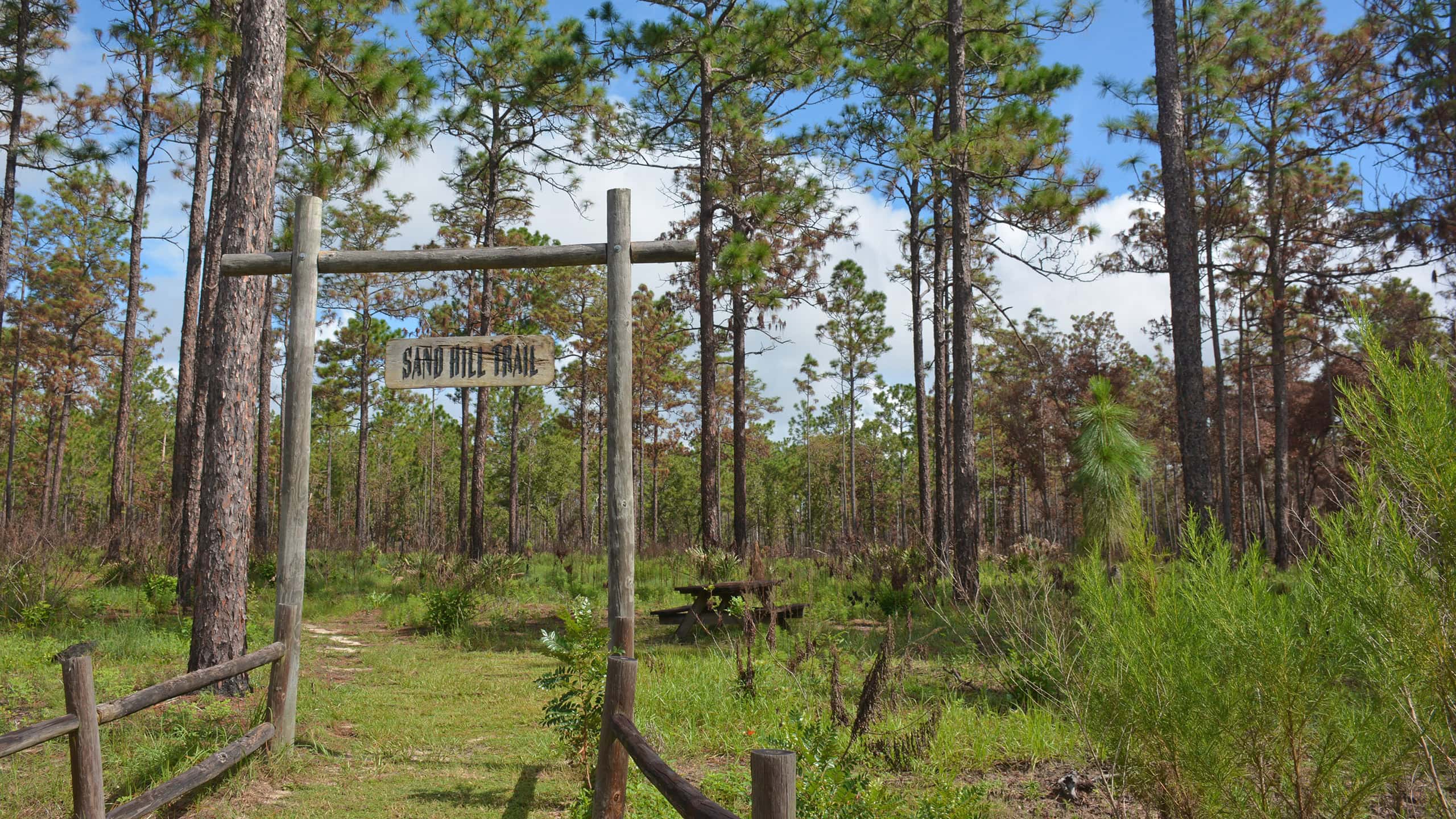 Silver Springs Sandhill Trail At Silver Springs State Park, the Sandhill Nature Trail loops through a longleaf and wiregrass sandhill habitat near the park's campground entrance.
 Silver Springs River Trail Discover the wonder of the floodplain of the lower Silver River on a 2.3 mile hike to a river overlook and a loop through through its lowlands.
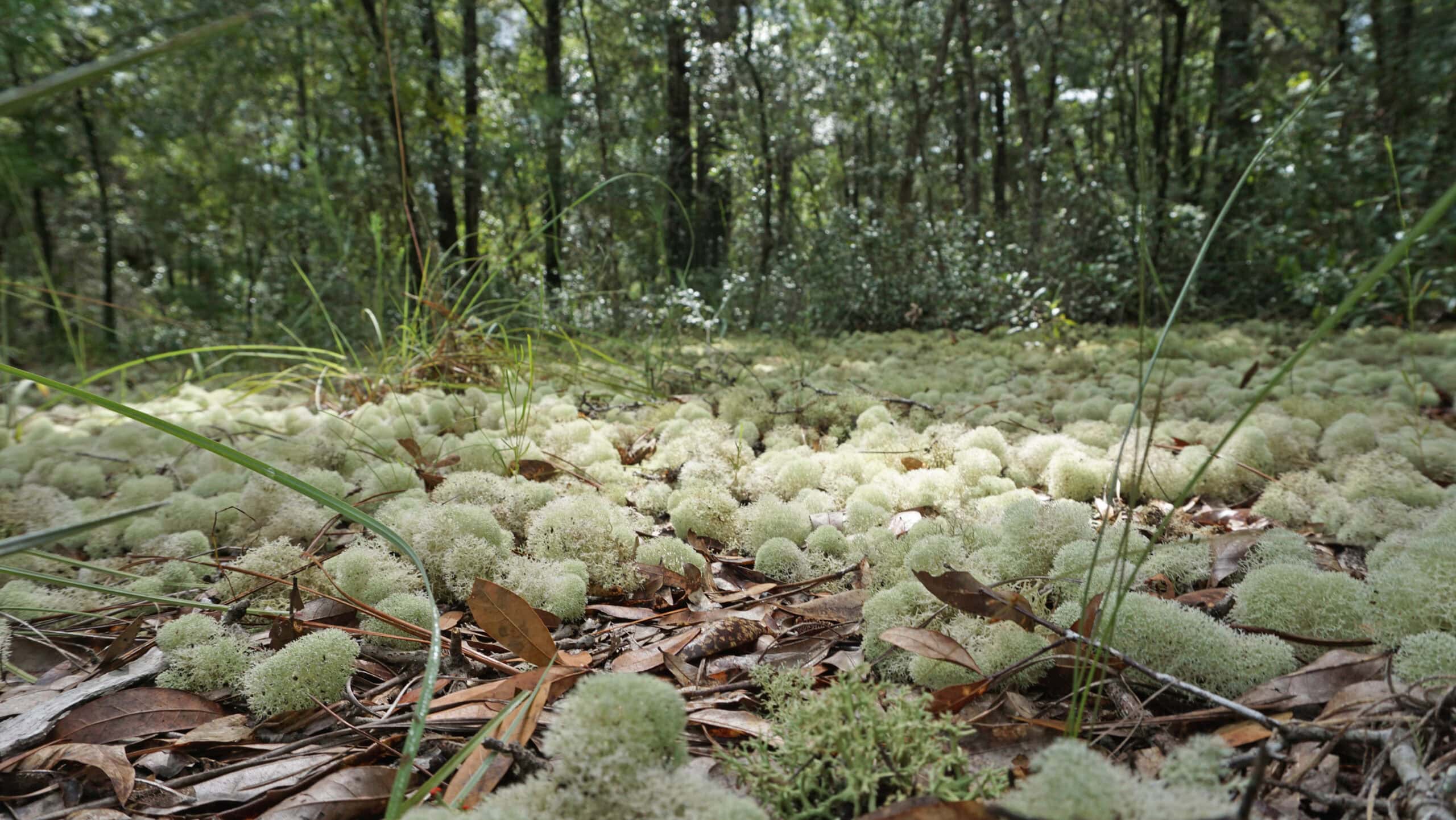 Silver Springs Conservation Area Silver Springs Conservation Area protects upland habitats crucial to recharge of Silver Springs. Two stacked loop trails (with a cross-trail on the upper loop) provide several options for hiking.
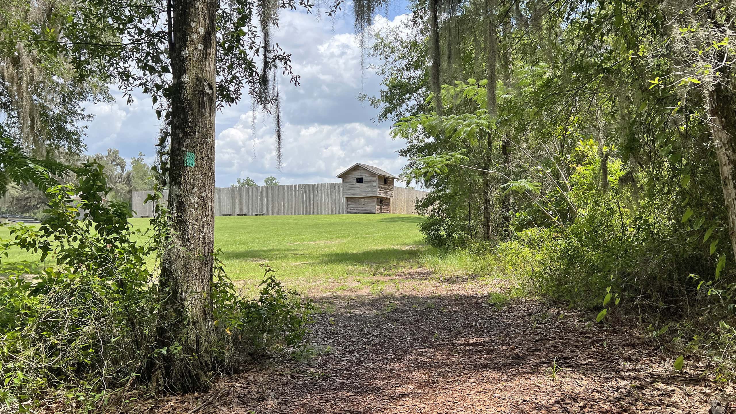 Fort King National Historic Landmark Forty largely wooded acres within a residential area in Ocala encompass an important piece of Florida history: the site of the first U.S. Army fort built in the state's interior.

- Hal Scott Yellow Trail - November 3, 2026
- Hal Scott Preserve - October 28, 2026
- Tradewinds Park - October 27, 2026